

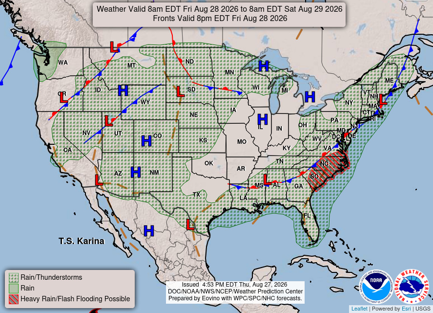
3 Things To Know:
- Patchy ground fog is likely late tonight into early Friday morning.
- Showers and thunderstorms are expected to arrive late Friday night.
- Temperatures will remain around normal, warming slightly as the weekend progresses.
Tonight’s Weather: Fog and Clearing Skies

As we head into the evening, expect generally clear skies with a few lingering cumulus clouds in northeast and east-central Wisconsin. While some areas may see a sprinkle, particularly in north-central Wisconsin, any rain will be minimal and not impactful.
Temperatures will drop overnight, allowing for patchy ground fog to develop late tonight, especially in central and north-central Wisconsin. As the sun rises on Friday, this fog should quickly dissipate, leaving a bright start to the day.
Heading Into the Weekend: Showers and Storms
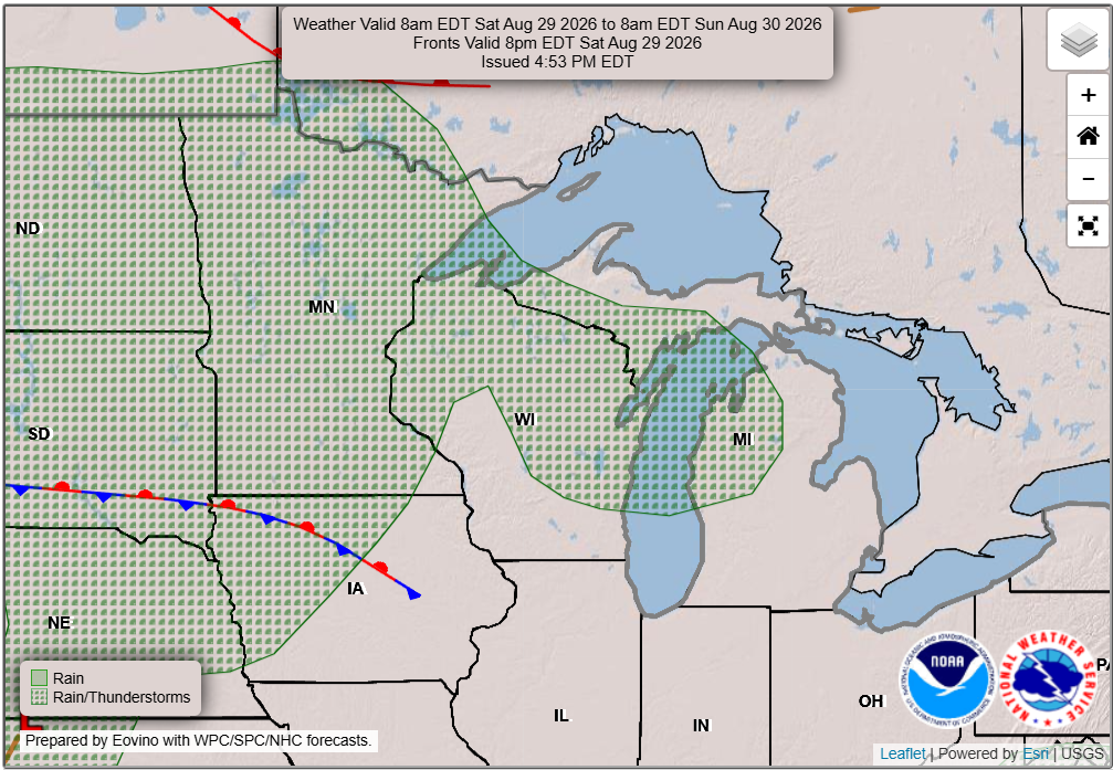
Looking ahead, a backdoor cold front will move through Friday night, bringing clouds and a higher likelihood of showers and thunderstorms that will continue into early next week. While the specifics remain uncertain, there is potential for moderate to heavy rainfall over the weekend. The National Weather Service indicates, “Model discrepancies make it difficult to pinpoint dry versus wet periods.”
Confidence in widespread severe weather this weekend is low, as current models show instability levels that are unlikely to support severe storms. However, it’s worth monitoring the forecast for shifting conditions as we move into the weekend.
Temperature Outlook
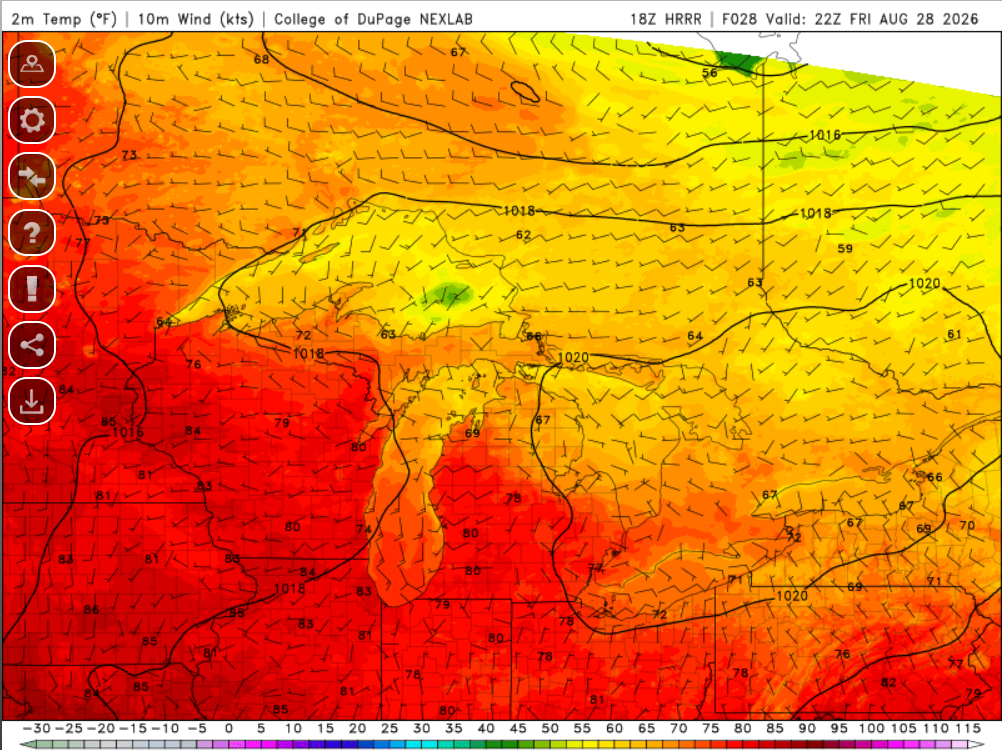
Temperatures are expected to remain near normal through the first half of the weekend but may rise a few degrees above normal into early next week. This warming trend is something to keep in mind as you plan your outdoor activities.
For updated forecasts where you live check out our Forecasts Page.
Day 1 Weather Pattern
Day 2 Weather Pattern
Source: NWS GRB Area Forecast Discussion, issued 2026-08-27T17:55:00+00:00.
