

3 Things To Know:
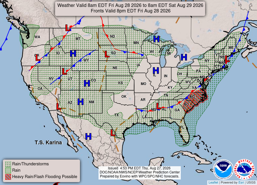
- Dry conditions persist through Friday with temperatures in the mid 70s to low 80s.
- Expect a 40-70% chance of showers and thunderstorms starting Saturday.
- Conditions may remain unstable into next week with periodic chances for storms.
Warm and Dry Conditions Ahead of Rain
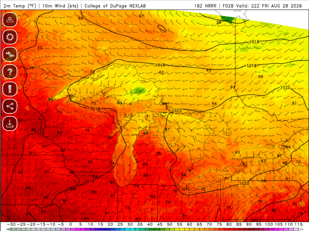
Western Wisconsin is enjoying a stretch of dry weather today, with temperatures hovering in the mid 70s to low 80s. A trough is settling over the Great Lakes while a ridge builds to the south, contributing to this stable weather pattern.
Rain Outlook for the Weekend
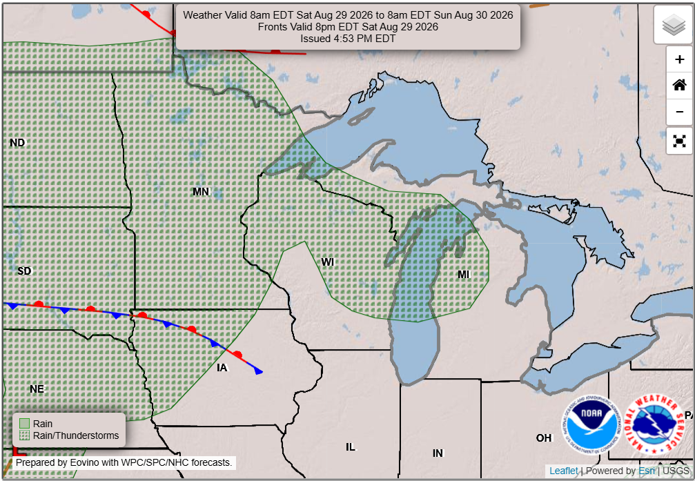
As we look towards Saturday, a shift in the weather pattern will bring a 40-70% chance of showers and thunderstorms. The NWS indicates, “a shortwave shifts into our region early Saturday morning as it rides the ridge increasing precipitation chances.” Rainfall amounts are projected to be between 0.2 to 0.5 inches, with a slight possibility of exceeding 0.5 inches in the northwestern areas.
What’s Next After the Weekend?
Moving into next week, expect warmer temperatures as southwest winds prevail. Conditions may be conducive for some strong to severe storms, although the potential remains limited at this time. The forecast indicates a 20-40% chance of storms on any given day, with daytime highs typically reaching the mid to upper 80s.
Local Impacts
With dry weather continuing until Saturday, outdoor activities should proceed without interruptions. However, keep an eye on the forecast as rain arrives over the weekend. Monitor for any changes in storm potential early next week as conditions evolve.
Keep Updated
For updated forecasts where you live check out our Forecasts Page.
Source: NWS ARX Area Forecast Discussion, issued 2026-08-27T19:13:00+00:00.
