
3 Things To Know:
- Low risk for isolated strong storms this afternoon in east-central Wisconsin.
- Expect cooler temperatures throughout the week with highs mainly in the 60s and 70s.
- Chances for showers and storms return mid-week, particularly Tuesday through Wednesday.
Today’s Weather Outlook
This morning, scattered showers and isolated storms are underway across Northeast Wisconsin. A low-level jet interacting with a baroclinic zone is generating fast-moving showers, but thunder is infrequent due to limited instability. Despite this, gusty winds of 35 to 45 mph could occur with any showers or storms. The risk for severe weather is low and expected to diminish after sunrise.
Afternoon Storm Risk
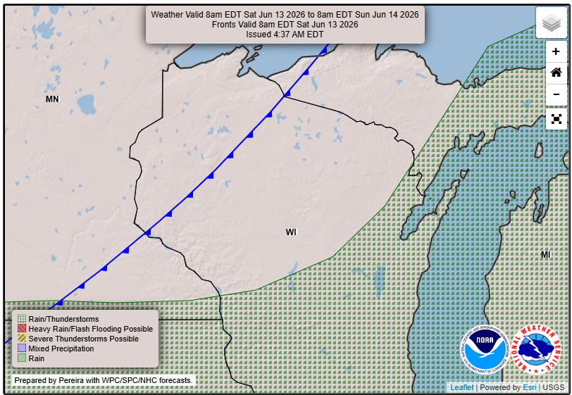
As we move into the afternoon, a cold front is expected to sweep southeast across the region. While there is a potential for storm organization due to strong mid-level flow, the chances for robust storm development remain limited.
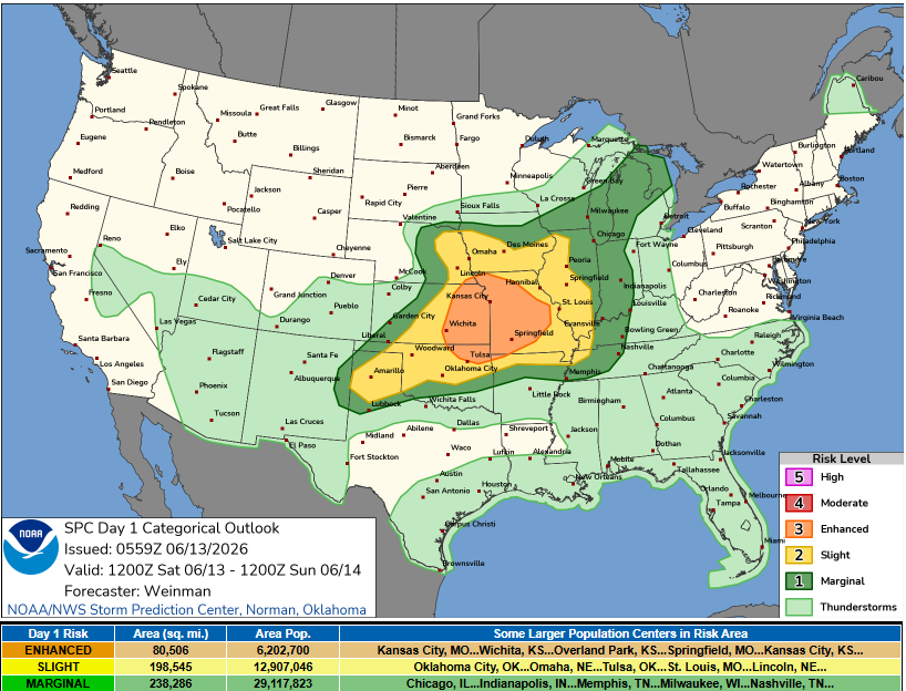
East-central Wisconsin has a 20-30% chance for storms between 1 PM and 5 PM, with the primary hazards being large hail and strong gusty winds. As noted in the Area Forecast Discussion, “the risk is trending lower” as conditions evolve.
Cooling Off Next Week
After the cold front passes, a cooler airmass will settle in, bringing below-average temperatures for the week. Highs will generally be in the 60s and 70s. The forecast for Sunday and Monday looks to be mostly dry, but keep an eye out for increasing chances of showers and storms returning mid-week. The most significant chances are projected for Tuesday and Wednesday, although confidence remains moderate regarding severe weather potential.
Summary
As we wrap up the weekend, conditions will shift from potentially stormy in the afternoon to much cooler and stable temperatures through the week ahead. Be prepared for ongoing changes in the weather and stay informed on updates.
For updated forecasts where you live check out our Forecasts Page.
Source: NWS GRB Area Forecast Discussion, issued 2026-06-13T11:16:00+00:00.