

3 Things To Know:
- Patchy fog may develop in river valleys overnight.
- Isolated thunderstorms possible Saturday afternoon, especially in southwestern Wisconsin.
- Severe storms may impact areas across southern Wisconsin on Sunday night.
Weather Overview
Southeast Wisconsin is gearing up for a weather pattern that mixes warmth with scattered thunderstorms this weekend. According to the latest National Weather Service Area Forecast Discussion, there are several key points to keep in mind.
Tonight into Saturday

Expect dry conditions this evening with scattered cumulus clouds fading after sunset. Overnight, temperatures will drop into the low 60s, and some patchy fog is likely in river valleys. As we transition into Saturday, a frontal boundary will move into southwestern Wisconsin by early afternoon. This could bring light rain showers eastward across the area, with isolated thunderstorms possible if there’s enough breaks in cloud cover before noon.
Thunderstorm Potential Sunday
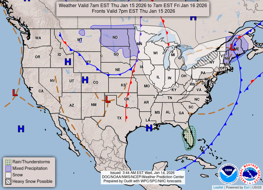
Looking ahead to Sunday, a low-pressure system is projected to develop in the northern Plains. This will ramp up warm and humid conditions across southern Wisconsin, pushing highs into the mid to upper 80s. The heightened humidity may lead to heat index values reaching the low 90s. Isolated thunderstorms are expected, with a marginal risk for severe storms, especially into the evening.
As noted in the AFD, “A few of the afternoon storms may become severe, but confidence remains low.” Keep an eye on weather updates as the day unfolds.
Ongoing Thunderstorm Activity Next Week
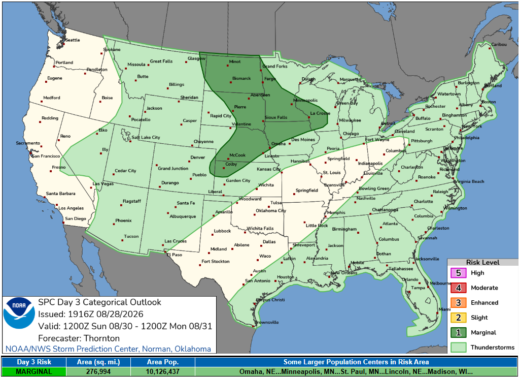
The thunderstorm activity isn’t expected to stop there. Monday night through much of the next week, there will be periods of on-and-off thunderstorms, with some potential for strong to severe storms. The National Weather Service emphasizes that details surrounding the timing and severity of these storms will become clearer as we get closer.
Furthermore, small craft advisory conditions could emerge in the nearshore waters on Sunday, particularly north of Milwaukee, and a Beach Hazard Statement may be issued for similar areas.
Conclusion
Stay tuned for updates regarding the weather, especially if you have outdoor plans this weekend. For updated forecasts where you live check out our Forecasts Page.
Source: NWS MKX Area Forecast Discussion, issued 2026-08-28T19:54:00+00:00.
