

3 Things To Know:
- Temperatures will be mild, staying in the 70s until late week.
- Rain chances increase Tuesday night, continuing into Thursday.
- Cooler weather is expected by the weekend.
Today’s Weather: Milder Temperatures and Clear Skies
This morning, a surface high pressure is located overhead, providing mostly clear skies across Southeast Wisconsin. As this high-pressure system moves eastward into tonight, we will see southerly winds develop, resulting in temperatures a few degrees above normal. Expect highs reaching into the 70s and some patchy fog later tonight into early Tuesday.
Keep an eye out for increasing mid and high-level clouds tomorrow afternoon, but the day should feature filtered sunshine.

Looking Ahead: Rain Chances and Cooler Temperatures
As we move into Tuesday night, expect a shift in weather patterns. With a mid-week system on the way, models indicate a prolonged period of moisture across the region. Rainfall is likely to begin Tuesday night and will continue through Thursday. Precipitable water values are projected to peak between 1.5 and 2.0 inches, signaling the potential for locally heavy rainfall.
It is important to note that while severe weather is not expected, the high moisture content combined with marginal instability could lead to heavy downpours. However, the exact timing and location of the heavier rain remain uncertain.
By late week, high pressure will build in, bringing drier conditions and slightly cooler temperatures heading into the weekend.
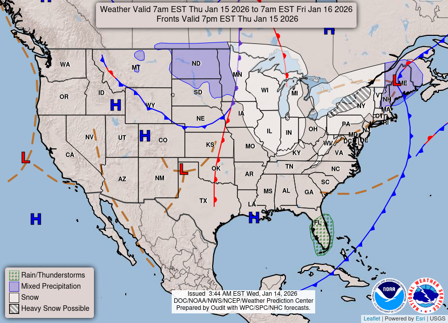
In summary, we have a mild start to the week, but prepare for changes as rain moves in midweek, followed by a cooldown heading into the weekend. Stay tuned for updates as the week progresses.
For updated forecasts where you live check out our Forecasts Page.
Source: NWS MKX Area Forecast Discussion, issued 2026-09-28T15:46:00+00:00.
