

3 Things To Know:
- A Frost Advisory is in effect for central Wisconsin tonight.
- Expect light rain Thursday night into Friday, with potential for strong storms Sunday night through Monday.
- Be aware of elevated fire weather conditions from Thursday through Saturday.
Frost Advisory Tonight
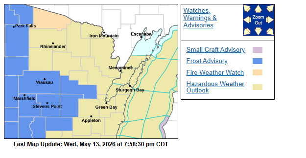
As temperatures drop into the 30s across much of central Wisconsin tonight, a Frost Advisory is in effect from 1 AM to 7 AM CDT for the following counties: WIZ030, WIZ031, WIZ035 through WIZ037, and WIZ045. Residents should take precautions for sensitive plants and outdoor equipment.
Rain Showers on the Horizon
Looking ahead, a cold front moves in Thursday night into Friday, bringing light rain. Moisture levels are limited, so while brief showers are expected, significant rainfall is unlikely. Daytime heating on Friday may also trigger isolated storms later in the afternoon.
Fire Weather Concerns
Elevated to near-critical fire weather conditions will be a concern from Thursday through Saturday. With temperatures reaching the 80s on Friday and low humidity levels (20-30%), residents in areas like Vilas County should be vigilant about fire risks. A Fire Weather Watch is in place for Friday afternoon through evening.
Storm Potential Next Week
Looking further ahead, an increase in moisture and instability will set the stage for potential strong storms Sunday night into Monday night. The National Weather Service indicates the possibility of locally heavy rainfall, with a 40-60% chance of an inch or more, and a 20-30% chance of two inches—a situation we will monitor closely.
As conditions evolve, keep an eye out for updates. Remember, the forecast can change rapidly, so staying informed is key.
For updated forecasts where you live check out our Forecasts Page.
Source: NWS GRB Area Forecast Discussion, issued 2026-05-13T18:27:00+00:00.