

3 Things To Know:
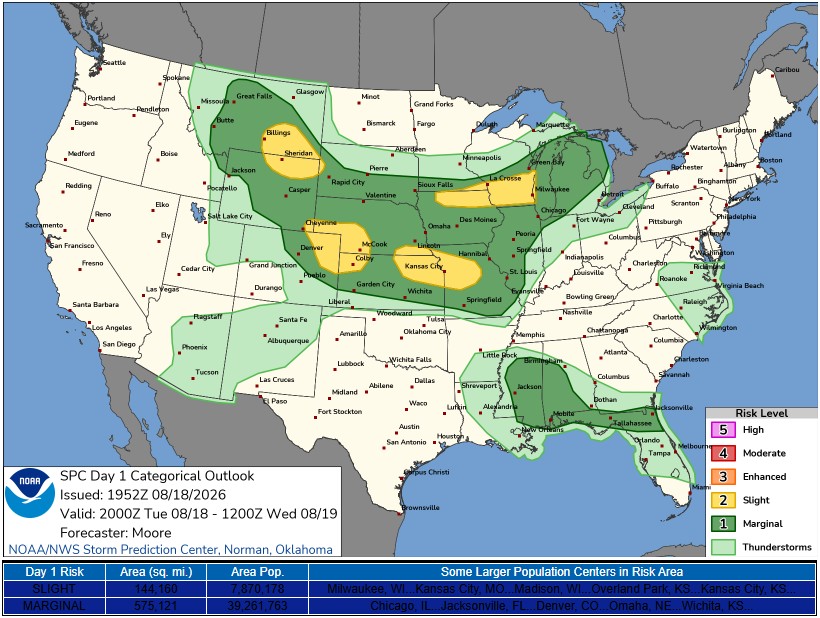
- Severe storms may develop this evening, with risks of hail and gusty winds.
- Dry and pleasant conditions are on the way for Wednesday and Thursday.
- Rain chances return Friday with another cold front approaching.
According to the latest National Weather Service forecast discussion, there is a chance of showers and thunderstorms this evening as a cold front moves through southern Wisconsin. Showers earlier in the day reduced moisture stability, but increasing temperatures and dew points could fuel stronger storms later.
Severe Timing and Expected Conditions

The most likely timeframe for storm development will be between 3 PM and 10 PM. While some storms may already be moving across southern Wisconsin, confidence is increasing that additional storms will develop along the cold front during that window. Current forecasts indicate the potential for severe thunderstorms with large hail and gusty winds.
Understanding the Risk
The Storm Prediction Center has placed much of southern Wisconsin under a slight risk for severe weather, meaning storms could be strong to severe. As the storms develop, they may initially have supercell characteristics, but as they move toward southeastern areas, this mode is expected to become more linear, reducing the hail risk.
“Once the front clears tonight, the chances for rain and thunderstorms will decrease significantly. High pressure will build in behind the exiting cold front, bringing dry weather for the next couple of days,” notes the NWS.
The Next Few Days
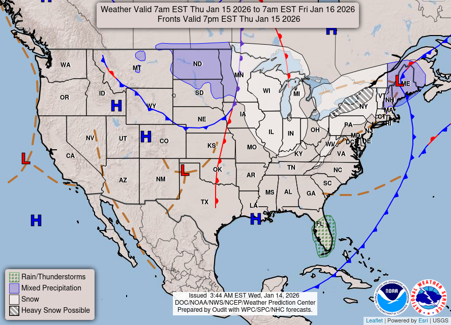
Following tonight’s weather, expect to see much drier and more pleasant conditions on Wednesday and Thursday. Highs will reach into the lower to upper 70s, making for a comfortable stretch of weather.
However, prepare for another round of rain on Friday as the next cold front approaches, with scattered showers anticipated throughout the morning. Weekend weather looks to be enjoyable, with highs in the mid to upper 70s.
For updated forecasts where you live check out our Forecasts Page.
Source: NWS MKX Area Forecast Discussion, issued 2026-08-18T18:41:00+00:00.
