

3 Things To Know:
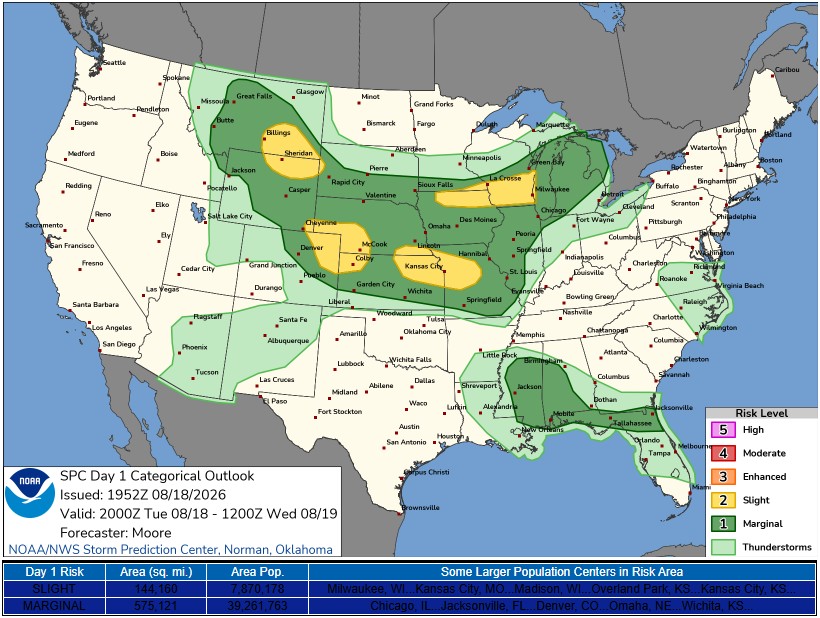
- Isolated to scattered showers and storms are expected today with a 40 to 60 percent chance.
- A marginal risk for severe storms exists, especially in central and east-central Wisconsin.
- Dry mid-week weather is forecast, with the next chance for rain arriving Thursday into Friday.
Storm Chances Tuesday

Northeast Wisconsin is gearing up for a day of mixed weather, with isolated to scattered showers and storms expected this afternoon. The National Weather Service in Green Bay notes a **40 to 60 percent chance** of rain, primarily impacting areas south of Highway 29 and along the lakeshore.
Temperatures are warm, which could help these storms become more prevalent as we head into the late afternoon and evening. The storms may produce some hail and brief gusty winds, particularly due to the mixing of strong winds aloft. However, heavy rainfall will be limited, with guidance suggesting a **40 percent chance** of receiving a quick **0.50 to 0.75 inches** of rain under stronger storms.
An active weather pattern will start to dissipate overnight, offering some relief before the next system approaches.
Next Chances for Rain
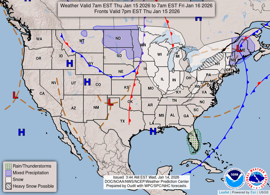
Looking ahead, another round of showers and storms is expected late Thursday into Friday. The timing for this next weather event has accelerated. Expect **20 to 40 percent chances** for rain Thursday afternoon, increasing to **50 to 70 percent** in the evening and overnight hours.
While locally heavy rainfall is a possibility, it won’t serve as a significant drought relief; still, some areas may get much-needed moisture. The severe storm potential appears limited, as the majority of activity is forecasted to arrive later in the day. However, if enough instability develops, some stronger storms cannot be ruled out.
Temperature and Humidity
Temperatures this week will remain close to seasonal averages, with highs primarily in the **mid 70s to low 80s**. Northern Wisconsin may experience a couple of chilly nights, with lows dropping into the lower 40s, particularly in typical cold spots. Humidity levels will fluctuate throughout the week, decreasing behind today’s front before increasing again Friday with the next wave of weather.
As we navigate through today and prepare for the dry midweek weather, keep informed on changes that may arise.
“Active weather will be fast-moving today, leading to fairly scattered coverage” according to the latest NWS forecast.
For updated forecasts where you live check out our Forecasts Page.
Source: NWS GRB Area Forecast Discussion, issued 2026-08-18T18:33:00+00:00.
