

3 Things To Know:
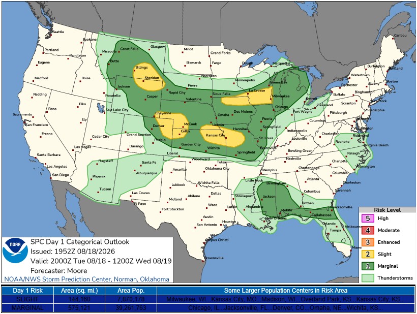
- Severe thunderstorms are possible this afternoon with large hail and damaging winds expected.
- Additional rain and storms are likely Thursday night into Friday morning.
- Temperatures will remain in the 70s to low 80s over the next week.
This Afternoon: Severe Storm Potential

This afternoon, conditions are setting up for the development of severe thunderstorms in western Wisconsin. A weak surface front moving through the area is expected to be the focal point for thunderstorm development, starting between 1 PM and 3 PM. Although isolated showers and storms are currently present, they are not severe yet.
As the day progresses, increasing temperatures and reduced cloud cover will enhance the severe storm environment. “Sufficient severe storm ingredients will be in place,” with moderate instability expected. The primary hazards include large hail and damaging wind gusts.
This Evening: Thunderstorms Move On
The storms are anticipated to move off to the east and southeast later in the evening, possibly lingering until around 9 PM to 11 PM. While the tornado potential is low, it cannot be completely disregarded, depending on how storms evolve.
Wednesday to Friday: Periodic Rain Chances
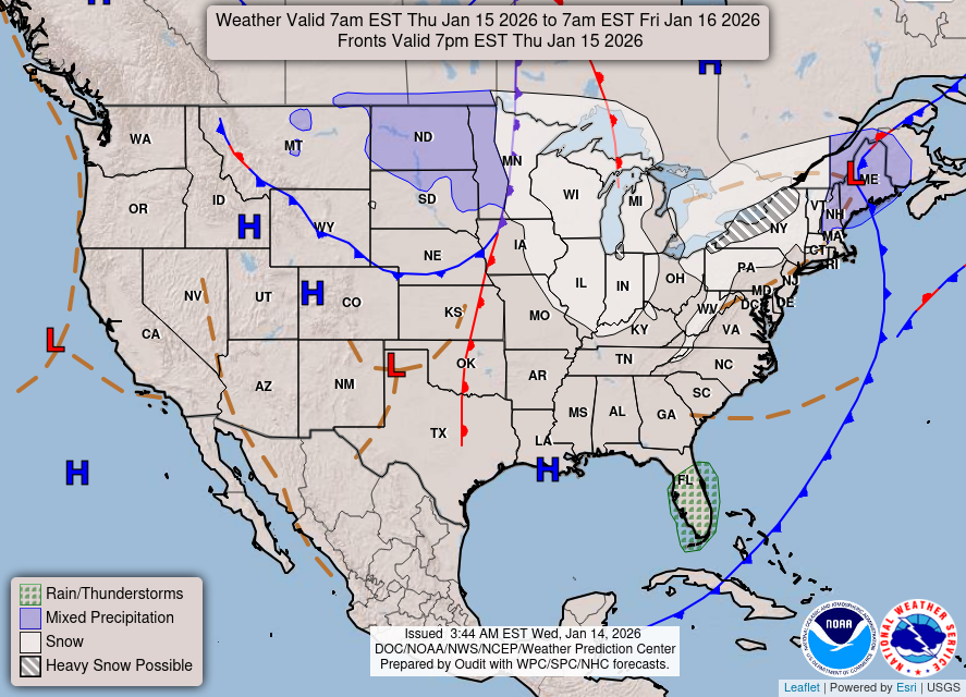
Looking ahead to Wednesday through Friday night, the forecast area will be positioned between two larger weather systems. This northwest flow will keep temperatures near average in the upper 70s to low 80s. A more significant chance for showers and storms is expected Thursday night into Friday morning, particularly favoring northeastern Minnesota and northern Wisconsin.
This Weekend into Next Week: Mild and Mostly Dry
As we move into the weekend and early next week, the weather pattern is forecast to become more stable. While there may still be occasional rain chances, conditions are trending towards mostly dry with mild temperatures remaining in the 70s and low 80s.
For updated forecasts where you live check out our Forecasts Page.
Source: NWS ARX Area Forecast Discussion, issued 2026-08-18T17:29:00+00:00.
