

3 Things To Know:
- Chances for showers and storms increase Tuesday afternoon (40-60%) and overnight into Wednesday (50-80%).
- Low risk of severe weather primarily Tuesday evening, mainly in northern areas.
- Dry conditions are expected for the rest of the week after this system moves through.
Weather Overview
This week in Northeast Wisconsin brings a mix of quiet conditions and an active weather system. This afternoon will remain calm with high pressure in control, but that’s all about to change starting Tuesday.
Active Weather Update
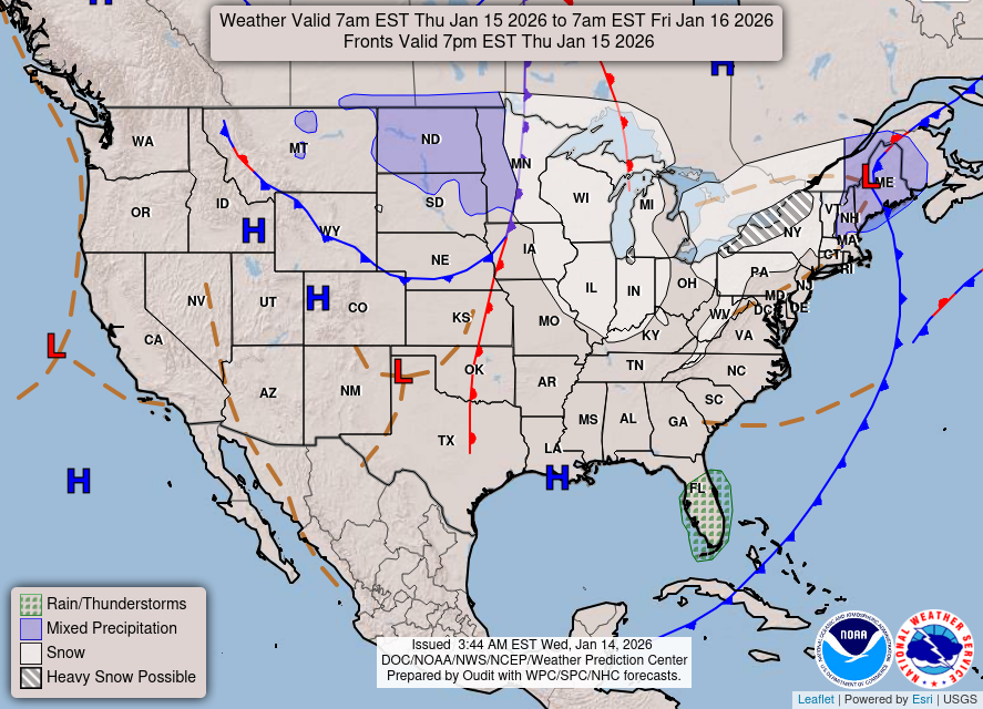
As a fast-moving shortwave approaches, we will see an increase in shower and thunderstorm chances starting Tuesday afternoon. Initial chances for rain will be low (20-40%) early in the day, but these will ramp up in the evening (50-70%) when the shortwave moves through.
Key factors to monitor include surface instability and wind shear, making it possible for stronger storms to develop, particularly near the Upper Peninsula border. Although the main risk areas will likely see stronger storms upstream, we’ll be keeping an eye on how they track eastward into our region. Late Tuesday evening could see some storms that produce large hail and damaging winds.
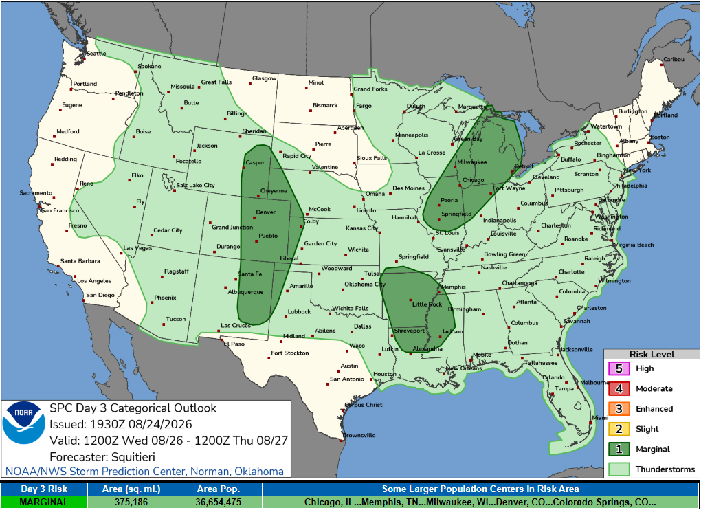
“The Marginal Risk area expands into western Vilas and Oneida counties so storm will still need watching to see if they hold together.”
Rainfall Expectations
A cold front will move in overnight, bringing widespread rainfall with a 60-80% chance for most areas. The best chance for heavier rain—around half an inch or more—lies mainly in northern Wisconsin, with a few localized spots possibly seeing up to an inch. While thunder is possible overnight, severe weather is not expected, as storms will generally be elevated at this time.
Looking Ahead
Once the system passes Wednesday morning, a dry spell is expected to settle in for the rest of the work week. Temperatures will remain mild, with daytime highs in the upper 70s to lower 80s and lows in the middle to upper 50s. As always this time of year, you might find yourself wishing you had a light sweater in the mornings but enjoying the warm afternoons.
Keep an eye on your local forecasts as the weather unfolds. For updated forecasts where you live check out our Forecasts Page.
Source: NWS GRB Area Forecast Discussion, issued 2026-08-24T18:43:00+00:00.
