

3 Things To Know:
- Showers and storms are likely late Monday night through Tuesday.
- Severe weather is possible, particularly Tuesday afternoon and evening.
- Seasonal, dry conditions are expected later in the week.
The weather in Northwest Wisconsin looks beautiful this afternoon with mostly sunny skies and temperatures in the 70s. As surface high pressure shifts eastward tonight, expect cool temperatures, dipping back into the 40s, and possibly the upper 30s in some colder spots.
Monday Outlook

On Monday, warm air will start to filter back into the region, pushing high temperatures into the low 80s in some spots. However, a low-pressure system moving across Canada will increase the chance of precipitation late Monday. Currently, the forecast indicates a 15% chance for light rain by the early evening; however, many models suggest that the initial precipitation may not develop until later at night.
Tuesday’s Conditions
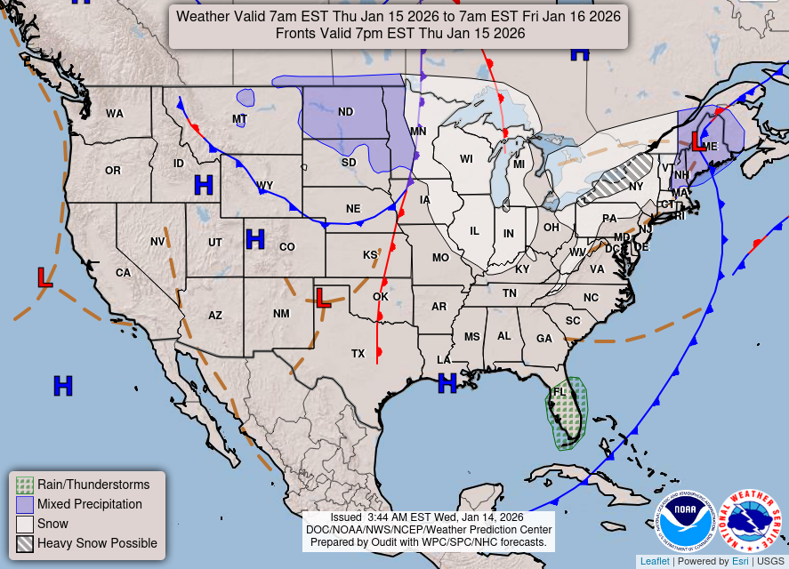
The main focus is on Tuesday, when more widespread showers and storms are expected as the cold front approaches. “Lingering showers and storms in the morning are possible, especially across northern MN,” according to the latest Area Forecast Discussion. Afternoon heating could increase instability, which may allow for severe storms to develop.
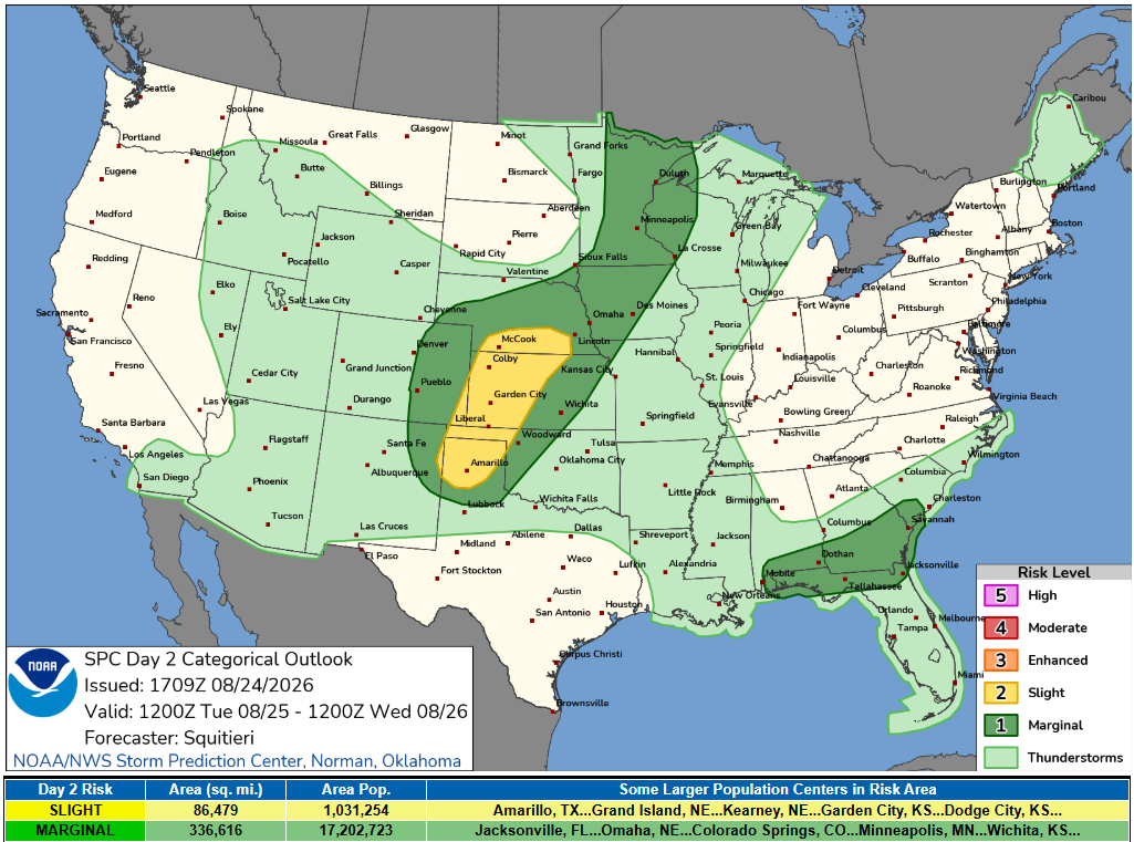
The Storm Prediction Center has issued a marginal risk (level 1 out of 5) for severe storms across most of our region, with the most intense activity likely occurring in the afternoon and evening hours. Keep an eye out for potential hail and damaging winds.
Thunderstorms are expected to develop across parts of the Upper Mississippi Valley by late afternoon as an upper-level disturbance moves into the region. A warm and increasingly unstable atmosphere could support supercell development, with the potential for damaging winds, large hail and a few tornadoes. While the overall severe threat appears somewhat limited, any stronger storms that develop could produce multiple types of severe weather.
Late Week Outlook
By Wednesday, the passage of low pressure will shift the weather once again, leading to cooler temperatures in the 70s and some lingering precipitation. However, severe weather threats will diminish, and a return to dry conditions is expected by later in the week.
For updated forecasts where you live check out our Forecasts Page.
Source: NWS DLH Area Forecast Discussion, issued 2026-08-23T18:07:00+00:00.
