

3 Things To Know:
- Low potential for thunderstorms this afternoon (10-30%).
- Showers and thunderstorms are possible south of I-90 tomorrow.
- Warm temperatures and daily storm chances persist through the week.
Afternoon Weather Update

This afternoon, a weak shortwave trough is making its way through western Wisconsin. There is a low potential for isolated thunderstorms (10-30%) as the atmosphere is unstable, particularly north of I-90 where conditions are slightly more favorable. However, much of the area south of I-90 may remain capped, limiting storm development.
According to the National Weather Service, “Given the high humidity across the region, some valley fog development seems reasonable overnight…” This suggests that foggy conditions are likely in river valleys tonight, with reduced visibility possible.
Looking Ahead: Tuesday’s Forecast
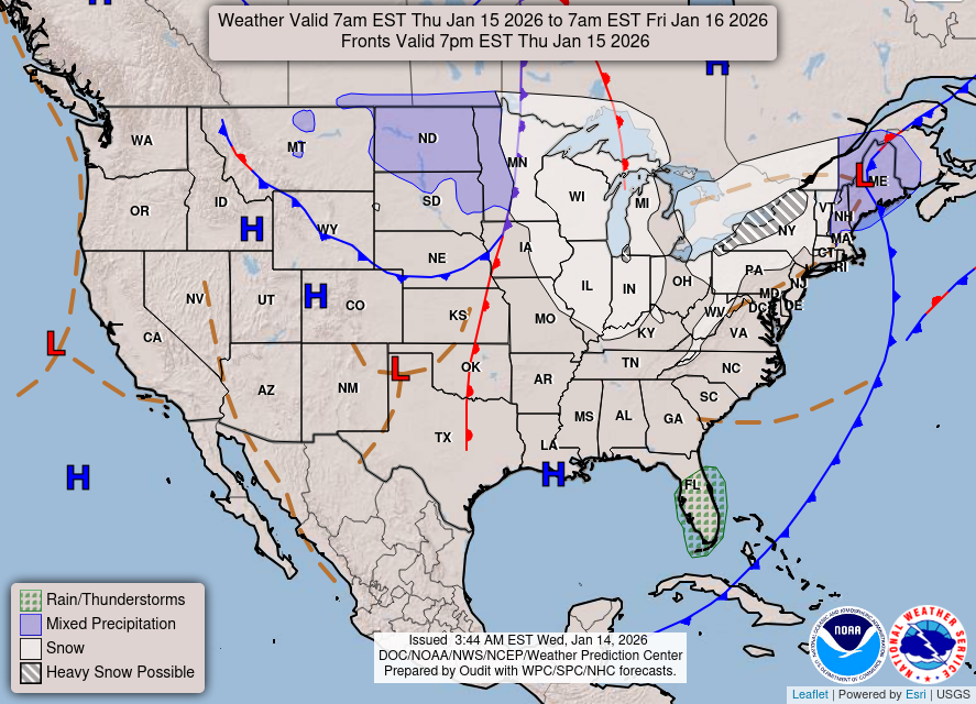
On Tuesday, we can expect a bimodal weather scenario. Southern counties may see isolated storms (10-30%) as a surface front stalls nearby, bringing moisture and warmth. Any storms that do develop could be strong, with gusty winds and the potential for hail. In contrast, drier conditions are forecasted for areas north of this boundary.
Temperature-wise, the day looks to be warm, with dewpoints maintaining a high level, contributing to a muggy feel in southern parts of the region.
Rest of the Week: Continued Warmth and Storm Chances
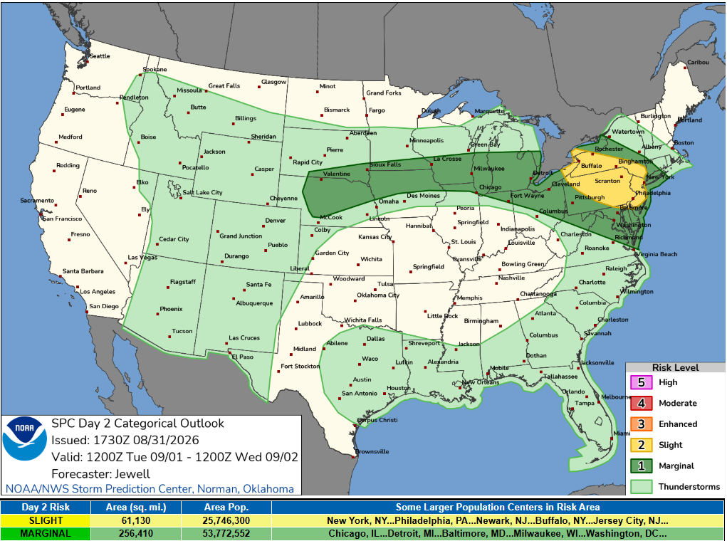
As we progress through the week, daily chances for showers and storms remain in the forecast. The next notable chance for rain is Wednesday morning with probabilities sitting between 40-70%, although some heavy precipitation may fall further north into central Minnesota.
Thursday morning also brings additional rainfall opportunities, particularly along and south of I-90 where storm chances are elevated. Continued warmth is expected, with daily high temperatures in the mid to upper 70s, influenced by cloud cover and precipitation.
Conclusion
Western Wisconsin is poised for a mix of warm temperatures and potential storm activity in the days ahead. Stay aware of the weather conditions as we progress through the week.
For updated forecasts where you live check out our Forecasts Page.
Source: NWS ARX Area Forecast Discussion, issued 2026-08-31T18:07:00+00:00.
