

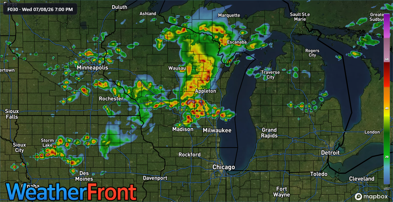
3 Things To Know:
- Heavy rain on the way for Wednesday
- Severe thunderstorms are possible Wednesday afternoon and evening, especially in central and east-central Wisconsin.
- High temperatures may reach the low to mid 90s early next week, raising excessive heat concerns.
Severe Thunderstorm Potential Wednesday
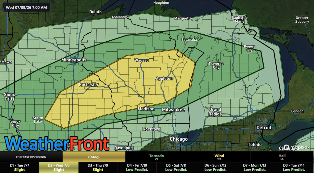
As we look to Wednesday, attention turns to the arrival of a cold front. This front is expected to bring a more organized threat of severe weather from late afternoon into the evening. A forecasted instability range of 1500-2500 j/kg suggests that damaging winds, large hail, and the potential for tornadoes could be on the table.
Widespread heavy rain is also possible, especially across central and east-central Wisconsin, where localized flooding could occur with rainfall totals reaching 2-4 inches under a 15% chance.
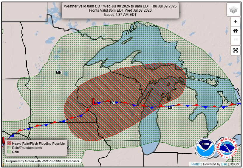
“Damaging winds will be the primary threat, but an organized storm could also produce isolated large hail and an isolated tornado.”
Looking Ahead: Heat Advisory Nearing
After the storms pass on Wednesday night, high pressure will take over, providing a brief respite before we brace for excessive heat beginning early next week. Temperatures are forecasted to soar into the low to mid 90s, with a 60-80% chance of 850 mb temperatures exceeding 20C. As a result, stay vigilant for heat advisories and take necessary precautions.
For updated forecasts where you live check out our Forecasts Page.
Source: NWS GRB Area Forecast Discussion, issued 2026-07-07T23:48:00+00:00.
