

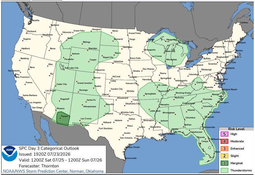
The quiet weather ends as smoke and thunderstorms return to the forecast for NE Wisconsin.
3 Things To Know:
- Quiet and comfortable weather remains through Friday morning.
- Hazardous boating conditions develop Friday afternoon with small craft advisories in effect.
- Warmer temperatures and thunderstorm chances return through the weekend.
Be prepared for a notable change starting Friday afternoon. As winds turn southerly, we will see an increase in hazardous boating conditions on Lake Michigan. A Small Craft Advisory is in effect for nearshore areas, with winds potentially reaching up to 25 knots and waves as high as 4 feet.
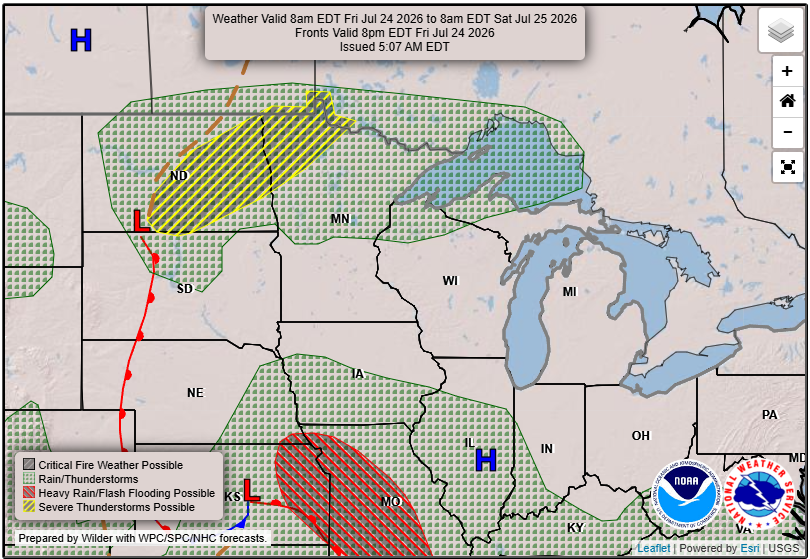
Smoke Returns Friday and Saturday
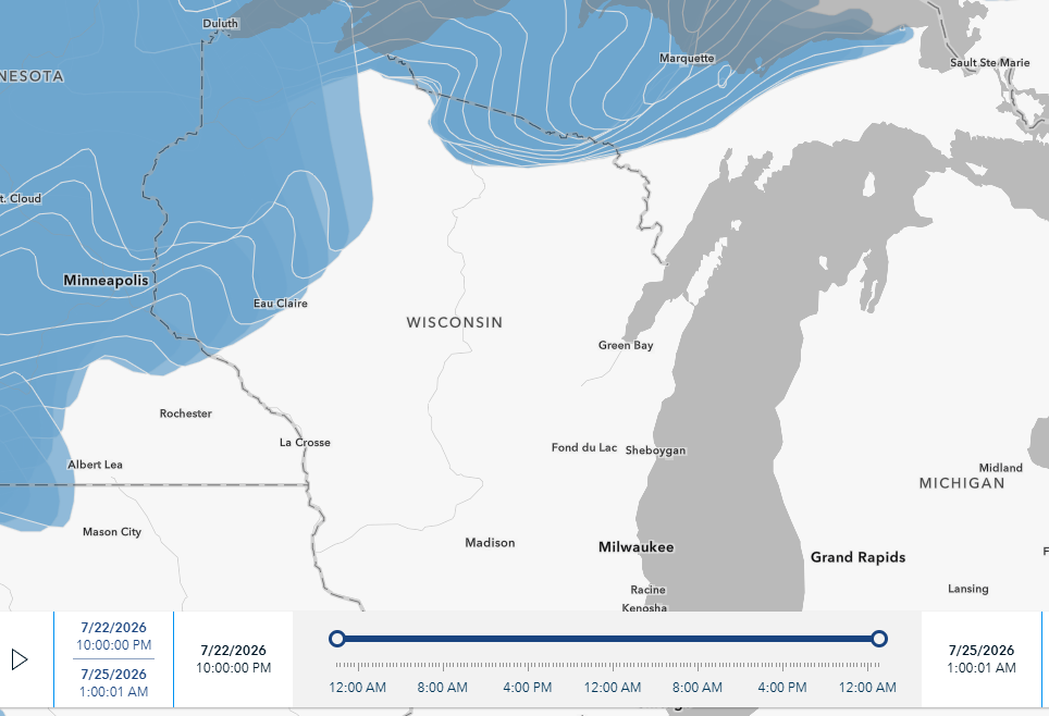
While the thickest smoke will be in the north, we will be tracking a plume of smoke fed in part by wildfires in both Canada and the Pacific Nortwest. Stay mindful of the Air Quality this weekend.
What’s Ahead: Weekend Outlook
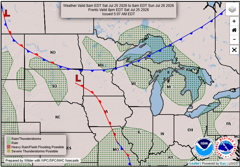
This weekend, temperatures are expected to warm significantly, with highs climbing into the upper 80s to low 90s. According to the National Weather Service, “increased humidity will return over the weekend into early next week.”
Thunderstorm chances will also ramp up, especially on Sunday and Monday. The greatest potential for organized storms is forecasted for Sunday afternoon and evening, driven by warm air advection and significant instability, which could lead to some severe weather. However, there’s still some uncertainty regarding the exact timing and placement of these systems.
Conclusion
For those planning outdoor activities this weekend, stay informed of the changing weather conditions. Keep an eye on forecast updates, especially if you’re heading out on the water or making outdoor plans.
For updated forecasts where you live check out our Forecasts Page.
Source: NWS GRB Area Forecast Discussion, issued 2026-07-23T17:49:00+00:00.
