

3 Things To Know:
- Small chances (10-20%) for pop-up showers or thunderstorms Wednesday and Thursday afternoons.
- Increased likelihood of widespread showers and storms Friday into Saturday, with a low risk of severe weather.
- Temperatures to reach the upper 80s on Thursday, cooler after the storm system moves through.
Wednesday and Thursday Showers
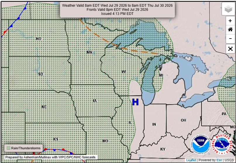
Northeast Wisconsin is looking at a quiet stretch of weather through Thursday, with temperatures rising into the upper 80s. However, keep an eye on Friday as a stronger weather system moves in, increasing the chances of showers and thunderstorms.
Timing and Confidence
Pop-up showers or storms are possible Wednesday and Thursday afternoons, but confidence remains low, with only 10-20% chances. The more significant rain is expected from Friday into Saturday, with confidence in widespread showers and storms increasing to 50-80%. While some areas might see heavy rain, the risk of severe weather is low at this point.
“A stronger shortwave trough is agreed upon Thursday night through Friday. This will be the next chance for widespread showers and some storms.”
What to Expect This Weekend
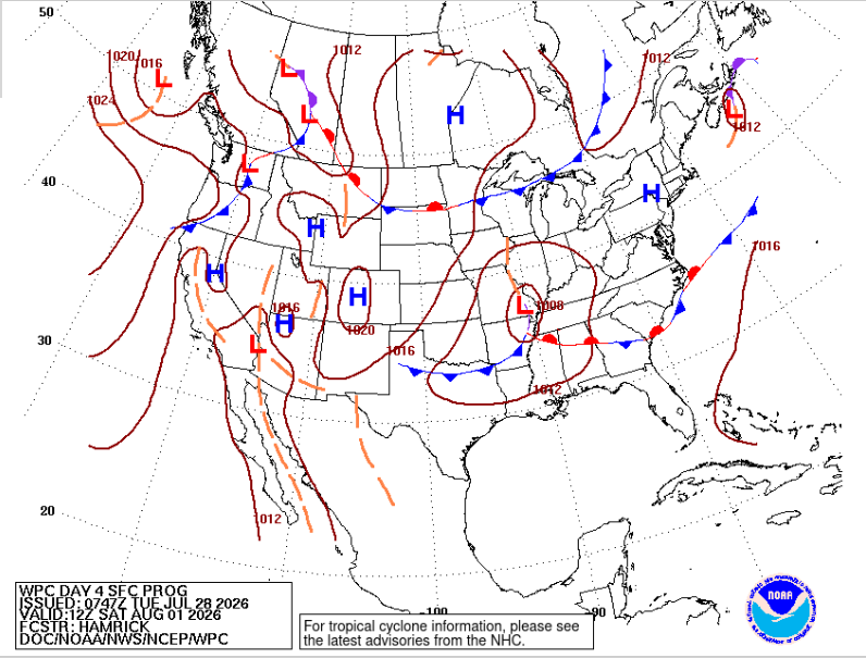
As the week progresses, temperatures will dip into the upper 70s and lower 80s on Friday due to cloud cover and precipitation. After Friday’s system moves through, a return to dry weather is expected later Saturday and into Sunday as high pressure builds over the region.
Bottom Line
No major weather phenomena are expected right now, but localized heavy rain may lead to some impacts. For updated forecasts where you live check out our Forecasts Page.
Source: NWS GRB Area Forecast Discussion, issued 2026-07-28T19:19:00+00:00.
