

3 Things To Know:
- Rain will taper off from northwest to southeast by this afternoon.
- Drier weather is on the way for the weekend, with highs in the mid-70s to mid-80s.
- Shower and storm chances return next week, especially Tuesday through Thursday.
Saturday Outlook
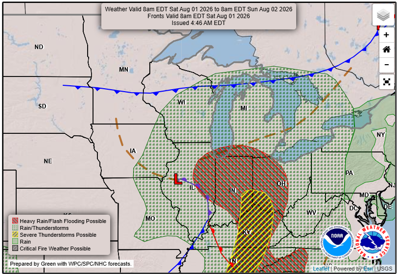
This Saturday, Western Wisconsin will see the last of the rain as it moves southeast across the region. Expect clearer skies and drier conditions by the afternoon. Rainfall amounts have generally been between 0.25 to 1 inch in portions of southwest and central Wisconsin.
As we transition through the day, isolated to scattered showers and storms across north-central, west-central, and central Wisconsin
may develop, particularly in the areas north of I-90. However, severe weather is not anticipated.
Temperatures
Temperatures today will range from the mid-70s to around 80 degrees. Tonight, we can expect lows dipping into the lower 50s to lower 60s.
Looking Ahead: Sunday and Monday
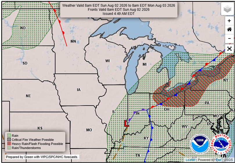
With an upper-level ridge building over the Upper Mississippi River Valley, expect predominantly dry conditions through Sunday and into Monday. Daytime highs will reach from around 80 to the mid-80s, with chilly lows again between the lower 50s and lower 60s.
Midweek Rain Chances
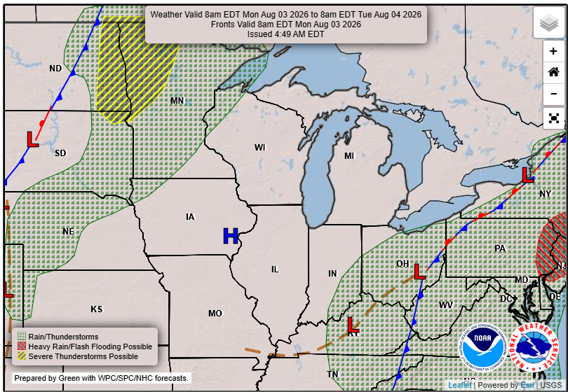
Starting Monday night and into Tuesday, a shortwave trough will move along the US/Canadian border, prompting some isolated weak showers and storms. As the cold front meanders across the region from Tuesday afternoon into Thursday, there may be increased chances for isolated severe weather, depending on local conditions.
Daytime temperatures for the upcoming week will generally be in the mid-70s to mid-80s, with nighttime lows ranging from the mid-50s to mid-60s.
For updated forecasts where you live check out our Forecasts Page.
Source: NWS ARX Area Forecast Discussion, issued 2026-08-01T11:01:00+00:00.
