
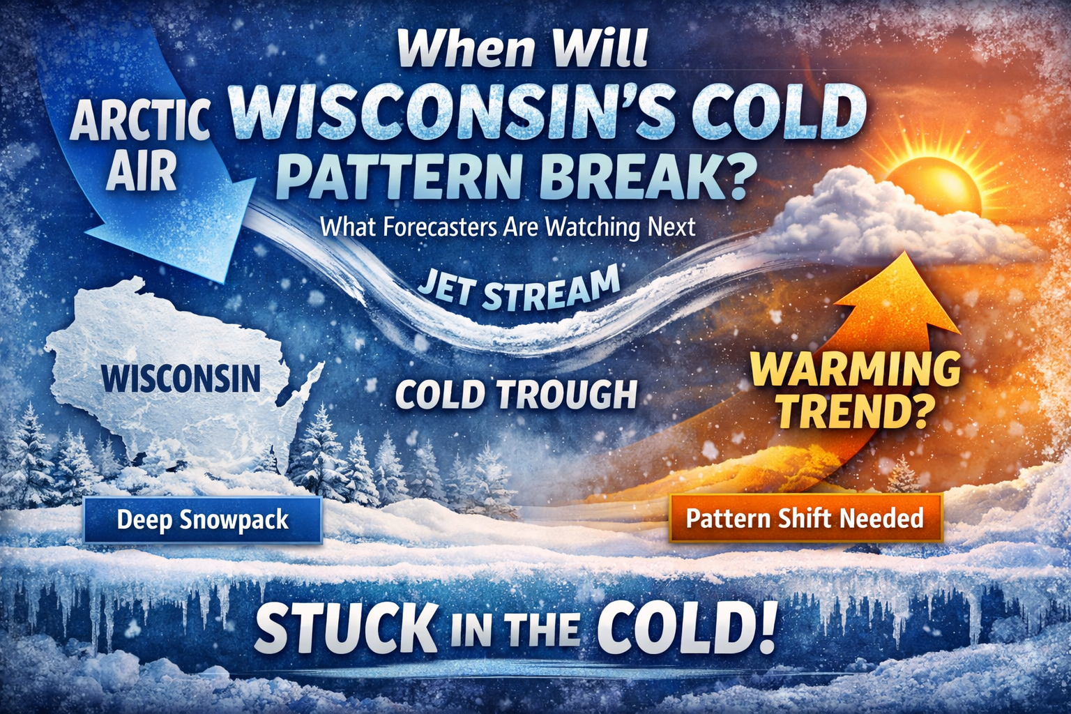
Wisconsin’s deep freeze may ease briefly, but forecasters say the cold pattern isn’t breaking yet. Here’s what would need to change for a lasting warm-up.
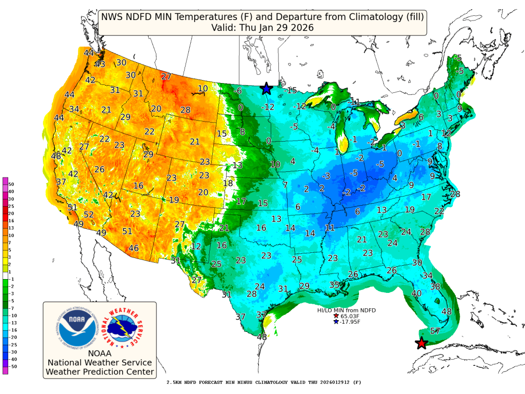
- Cold has staying power: Brief moderation is possible midweek, but the overall pattern still favors colder-than-normal temperatures returning late week into early February.
- Snowpack matters: Existing snow cover across Wisconsin is helping lock in colder temperatures, especially overnight, slowing any meaningful warm-up.
- No clear pattern shift yet: Forecasters do not see a strong signal for a sustained warm-up until the jet stream configuration over the Great Lakes changes.
Wisconsin residents have a simple question after weeks of bitter cold and repeated snow chances:
When does this end?
The honest answer from forecasters right now is nuanced. There are signs of brief moderation ahead, but the overall pattern that has delivered Arctic air to the Midwest is not ready to fully let go.
According to the latest extended forecast discussion from the Weather Prediction Center, the atmosphere remains locked into a configuration that favors recurring cold air intrusions across the central and eastern United States — including Wisconsin.
“The cold may ease briefly midweek, but the broader pattern favors a return to colder-than-normal temperatures late week into next weekend.”
Why the Cold Keeps Reloading
At the heart of this pattern is a deep trough in the jet stream over the Great Lakes and eastern U.S. That trough acts like a highway, allowing Arctic air masses to slide south repeatedly.
Even when temperatures moderate for a day or two, the door never fully closes.
“This is not a one-and-done cold snap. It’s a pattern with staying power.”
For Wisconsin, that means cold air tends to return quickly after any short-lived warm-up, especially with snow already on the ground.
Snow Cover Makes a Difference in Wisconsin
Snowpack across much of the state is playing a major role in keeping temperatures suppressed.
Snow reflects sunlight during the day and allows heat to escape more efficiently at night, a process known as radiational cooling. That combination helps nighttime lows drop faster and keeps daytime highs from rebounding as much.
“Once snow is on the ground, it becomes much harder for Wisconsin to warm up — even when the air mass tries.”
This effect is strongest in inland and rural areas, but it impacts cities as well, especially during clear, calm nights.
Clippers Add to the Cold Feel
While Wisconsin may not see a single blockbuster winter storm in the coming days, the pattern supports repeated clipper systems moving through the Upper Midwest.
These fast-moving systems don’t usually bring heavy snow, but they reinforce cold air and keep snow cover fresh.
“Even small snow events help maintain the cold by refreshing the snowpack.”
That’s one reason the cold can linger longer here than in areas to the south or west.

So… When Does the Pattern Actually Break?
For a meaningful and lasting warm-up to occur, forecasters would need to see a major shift in the upper-air pattern — specifically:
- The jet stream lifting north
- The Great Lakes trough weakening
- Persistent Pacific air replacing Arctic sources
Right now, that kind of pattern change does not show up clearly in extended guidance.
“There are hints of moderation, but no strong signal yet for a sustained warm-up across Wisconsin.”
That doesn’t mean winter will stay extreme every day, but it does mean cold remains the dominant theme heading into early February.
What Wisconsinites Should Expect Next
For people living and working across the state, the takeaway is practical:
- Expect ups and downs, not a clean break
- Plan for continued cold-sensitive impacts
- Watch for short-term improvements, followed by renewed cold
- Check our Forecasts Page for details in your area
Winter fatigue is real, but Wisconsin winters often end not with a dramatic flip, but with a slow retreat.
“This pattern doesn’t end with a switch — it fades in stages.”