
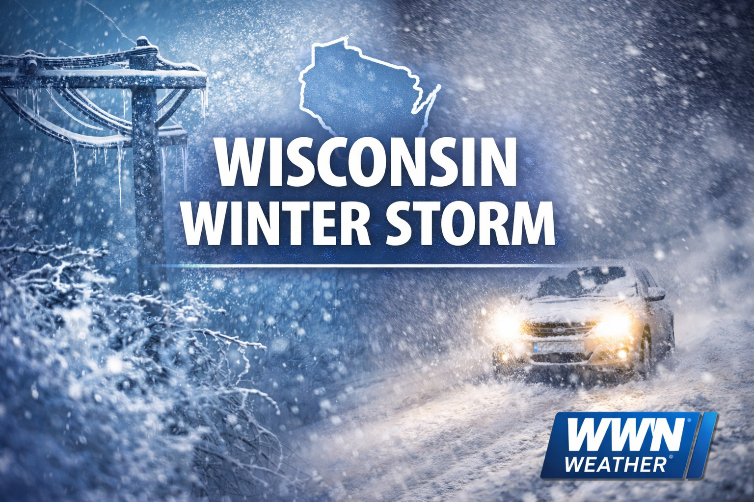
A powerful late-season storm is sweeping across Wisconsin Sunday into Monday, bringing a messy mix of freezing rain, ice, sleet, heavy snow and damaging winds. The exact impacts vary a lot by region, but the bottom line is the same almost everywhere: travel will become dangerous to, in some spots, nearly impossible.
3 Things to Know
- Ice, then heavy snow: Freezing rain and sleet Sunday afternoon are transitioning to widespread snow Sunday night across Wisconsin, creating slick roads and rapidly worsening travel conditions.
- Blizzard conditions possible: Winds gusting 40–60 mph will combine with heavy snow Sunday night into Monday, producing blowing and drifting snow and near-whiteout conditions in many areas.
- Cold follows the storm: Snow tapers Monday afternoon, but strong winds will keep travel difficult. Much colder air moves in Tuesday with highs in the 20s and wind chills near zero.
Southern Wisconsin
Madison Area
Southeast Wisconsin
East-Central Wisconsin
North-Central Wisconsin
Western Wisconsin
For southern Wisconsin, the storm is evolving from rain and ice to heavy snow as colder air wraps in behind a deepening low pressure system. Across central, eastern and northern parts of the state, this is shaping up as a high-impact winter storm with blizzard conditions, major snowfall totals and the risk of power outages. Even after the steadiest snow winds down Monday, blowing and drifting snow will keep roads hazardous.

Southern Wisconsin: Ice First, Then Snow and Strong Winds
In the Milwaukee/Sullivan forecast area, Sunday afternoon is featuring a sharp north-to-south split in precipitation types. Areas north of I-94 are dealing with the greatest icing threat, with ice accumulations up to a quarter inch possible into late afternoon. Some locally higher amounts cannot be ruled out. Along and south of I-94, lighter icing remains possible into the evening, while rain and even a few thunderstorms have also been part of the mix.
As the storm strengthens and shifts northeast, colder air will push southeastward through the region. That will force the messy mix over to all snow from northwest to southeast later Sunday afternoon through the evening. By midnight, even far southeast Wisconsin should be over to snow.
The concern then shifts quickly from slick roads to visibility and drifting. Snow is expected to continue overnight into Monday morning, and winds gusting 40 to 50 mph will create blowing and drifting snow across much of southern Wisconsin. Near-blizzard conditions are possible, especially north and west of Madison, and the Monday morning commute is likely to be significantly impacted.
Snow will gradually taper from southwest to northeast late Monday morning into the afternoon, but conditions will not improve right away. Even after the accumulating snow ends, strong winds will continue to whip around fresh snow and keep visibility reduced in open areas.
Madison Area and South-Central Wisconsin: A High-Impact Transition Zone
The Madison area sits in one of the more complicated parts of this storm. That means a little bit of everything: freezing rain, sleet, then moderate to heavy snow and blowing snow.
This region is expected to take a hit from both icing and accumulating snow, especially as the transition from mixed precipitation to all snow unfolds Sunday evening. West and north of Madison, the snow and wind combination looks especially concerning overnight into Monday morning, with near-blizzard conditions possible.
This is also one of the areas where blowing and drifting may linger well after the heaviest snow ends. Travel conditions could remain poor through much of Monday, especially on east-west roads and in rural open country where snow can drift quickly.
Southeast Wisconsin: Rain to Ice to Snow
For Milwaukee, Kenosha, Racine and surrounding communities, this storm is arriving in stages. Rain has been more common early on, but the freezing line is working south and east. That means rain will likely change to sleet or freezing rain, then eventually to all snow later Sunday night.
Ice totals in the southeast should generally stay lighter than farther north, but even a glaze can create problems on bridges, overpasses and untreated roads. Once the changeover to snow happens, conditions will deteriorate further as winds strengthen and visibility drops.
The southeast may not see the worst blizzard conditions compared to farther north and west, but Monday morning is still shaping up to be rough, with accumulating snow, gusty winds and blowing snow creating widespread travel headaches.

East-Central Wisconsin and the Fox Valley: Snow, Ice and a Return to All Snow
The Green Bay forecast area continues to face some of the most severe impacts from this storm. East-central Wisconsin, including parts of the Fox Valley and lakeshore, is dealing with a period of mixed precipitation Sunday, including sleet and freezing rain mixing with snow.
Ice accumulations of around one-tenth to two-tenths of an inch are possible through Sunday afternoon, especially from Waushara to Manitowoc counties. That mixed precipitation may trim snowfall totals a bit in some communities, but confidence remains high that many areas will still see major snowfall by the time the storm wraps up.
By Sunday night, colder air is expected to push the mixed precipitation back to all snow. From there, snow and blowing snow continue into Monday with blizzard conditions likely. The combination of strong winds, falling snow and reduced visibility will make travel extremely difficult and could lead to scattered power outages, especially where ice has accumulated on trees and power lines.
North-Central and Northern Wisconsin: Historic Snowfall and Blizzard Conditions
This is where the storm looks most extreme. In northern Wisconsin, forecasters are calling this a historic winter storm, with heavy snow rates, blizzard conditions and widespread significant impacts through Monday.
Snowfall rates of 2 to 3 inches per hour are possible at times, and probabilities remain very high for at least 2 feet of snow across parts of the Northwoods. Some areas could push toward or past 30 inches, though compacting and blowing may make those totals harder to measure on the ground.
Winds gusting 40 to 50 mph, combined with intense snowfall, will create prolonged blizzard conditions from Sunday afternoon into Monday afternoon. In these areas, travel may become extremely difficult to impossible for extended periods.
Western Wisconsin and the Mississippi River Valley: Blizzard Conditions and Heavy Snow
In the La Crosse forecast area, the storm is also delivering a wide variety of impacts, depending on how far north or south you are.
Along and north of I-94, the focus is on very heavy snow, with some bands capable of producing 1 to 4 inches per hour. That part of western Wisconsin could see storm totals in the 8- to 20-inch range.
Farther south, including near and along I-90, freezing rain and sleet have been mixing in. Ice accumulations of one-tenth to one-quarter inch are possible, along with sleet totals that could reach as much as 2 inches in some places before the precipitation flips back to snow. Then the backside of the storm brings another 4 to 8 inches of snow, especially along and east of the Mississippi River.
Winds gusting 40 to 60 mph will create blizzard conditions into Monday morning across much of western Wisconsin, northeast Iowa and southeast Minnesota. This part of the state will also deal with dangerous travel and rapidly changing road conditions.
Lake Michigan Shoreline and Marine Areas: Dangerous Conditions Continue
Over Lake Michigan, this storm is producing severe marine impacts. Gale warnings remain in effect for much of the lake, with storm warnings over the northern half from Sunday evening into Monday night.
Very strong northwesterly winds will create dangerous to life-threatening conditions for mariners, and heavy freezing spray is expected Monday morning into Tuesday. Visibility will also be sharply reduced by heavy snow, especially over northern portions of the lake before the snow spreads over the rest of the water Sunday night into Monday.
For lakeshore communities, the strong winds will add to the blowing snow problem and increase the risk of whiteout conditions near open areas.
What to Expect Monday
By Monday morning, many parts of Wisconsin will be dealing with the worst of the storm’s travel impacts. Snow may be winding down in some western areas by late morning, but eastern and northeastern parts of the state could hold onto accumulating snow longer.
Even where snowfall rates begin to ease, the wind will remain a major issue. Blowing and drifting snow will likely continue through much of Monday afternoon, especially in open country and along north-south roads.
This is one of those storms where conditions may look a little better on radar than they feel on the ground. Even after the steadiest snow ends, the combination of packed roads, drifts and poor visibility can keep travel dangerous.
Bottom Line
This is a statewide, high-impact winter storm, but the exact hazards vary by area. Southern Wisconsin is dealing with a dangerous ice-to-snow transition. Central and eastern Wisconsin are facing heavy snow, mixed precipitation and blizzard conditions. Northern Wisconsin is looking at the most extreme snowfall and longest-duration impacts.
No matter where you are in Wisconsin, Sunday night into Monday is a time to avoid unnecessary travel and be ready for rapidly worsening conditions.