
3 Things To Know:
- Low confidence in storm activity tonight through Sunday, rising for Monday.
- Large hail and damaging winds are the main concerns if storms occur.
- Heavy rainfall may lead to flooding, especially in flashier rivers.
Weather Overview
This weekend, Western Wisconsin is experiencing varied weather conditions. Today, expect a cool and dry day with highs ranging from the 70s to mid-80s. A moisture boundary that caused storms to the south has moved through, leaving the area primarily clear for most of the day.
Initial Storm Chances This Evening
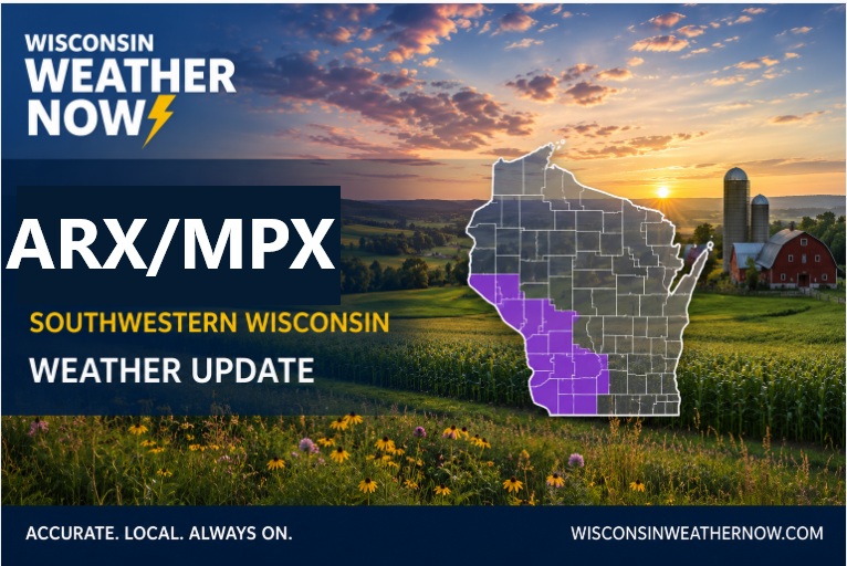
Starting this evening, there is potential for storms to initiate in the southwestern corner of the state. These storms may attempt to move northeast, but confidence in their development is low. The lack of significant atmospheric forcing and light winds mean that storm activity may be limited.
Overnight and Sunday Storm Potential

The overnight hours into Sunday bring more uncertainty in storm development. While a weak system may push through, the overall confidence remains low, especially during the day. A capping inversion could inhibit storm formation throughout the day and evening.
However, for those who are in the western half of the forecast area, including parts of northeast Iowa into southeast Minnesota, there might be a slightly increased chance of severe weather as the fronts and atmospheric conditions align.
As highlighted in the NWS Area Forecast Discussion, “…damaging winds and large hail will be the main local severe hazards should storms occur.”
Monday’s Severe Storm Threat
Looking ahead to Monday, conditions become more favorable for severe weather. Models indicate at least 1500 J/kg of CAPE, suggesting a tense atmosphere ripe for storm activity. Confidence is higher for severe storms with potential impacts moving eastward across the area.
Hydrology Concerns

Accompanying the storm chances is the potential for heavy rainfall. Predictions show that 1 to 2 inches of rainfall could be expected through Monday. This raises concerns for flash flooding, particularly in flashier rivers like the Turkey River in northeast Iowa, where the risk of minor flooding is noted, albeit with low confidence.
To stay updated as the weather develops, be sure to check the NWS updates for your specific area.
For updated forecasts where you live check out our Forecasts Page.
Source: NWS ARX Area Forecast Discussion, issued 2026-05-16T10:58:00+00:00.