
3 Things To Know:
- Dry conditions persist today with highs in the low 80s.
- Shower and storm chances return Thursday and Friday, with a slight risk of severe weather.
- Warming trend expected early next week, reaching the mid to upper 80s.
Today: Dry and Pleasant
After an extended stretch of lovely weather, today promises to be dry and warm across Western Wisconsin. High temperatures are projected to reach the low to mid 80s, which is slightly above average for this time of year.
Thursday and Friday: Showers and Storm Chances Return
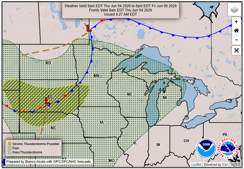
As we move into Thursday, the dry spell will come to an end. A surface low developing to our north is expected to bring a surge of moisture into the region, setting the stage for sporadic showers and thunderstorms. While severe weather potential remains low, areas including southeastern Minnesota and portions of western Wisconsin are under a Marginal Risk for severe storms on Thursday. Storm dynamics could produce some damaging winds from stronger storms, although overall instability is expected to be marginal.
Friday may see an increase in instability, raising the potential for storms once again. However, models are showing mixed signals on storm timing, so there is still some uncertainty about the severity of any storms.
“WPC has included portions of the Driftless Region in a Marginal Risk for Excessive Rainfall Outlooks”
Looking Ahead: Weekend and Beyond
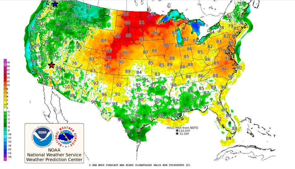
As we head into the weekend, the forecast appears to be trending drier with broad ridging expected to set up over the region. We could see temperatures soar into the upper 80s, with even the potential for low 90s early next week.
Keep an eye on how conditions progress, and remember that while rain is expected, our rivers and land should manage the rainfall well following this extended dry period.
For updated forecasts where you live check out our Forecasts Page.
Source: NWS ARX Area Forecast Discussion, issued 2026-06-03T10:47:00+00:00.