

3 Things To Know:
- Thunderstorms possible this evening and tonight
- Brief periods of dense fog are likely tonight after storms.
- Quiet weather expected on Tuesday, with cooler temperatures overnight.
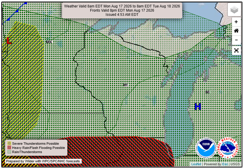
The weather across Northwest Wisconsin is shifting this afternoon as a line of showers and thunderstorms moves in from the northwest. The National Weather Service has issued a marginal risk for severe thunderstorms in parts of Minnesota but NW Wisconsin will also need to be aware.
Timing and Impacts
Showers and thunderstorms are expected to reach Northwest Wisconsin between late afternoon and early evening, with the bulk of the activity likely moving southeast through the area by around 1-2 AM. Strong winds, gusting up to 60 mph, and the potential for quarter-sized hail are concerns as these storms pass through. However, widespread severe weather is not anticipated.
After the storms, there is a chance of patchy dense fog in the early morning hours. Visibility may be reduced, particularly in areas where rain falls.
Cooler Weather Ahead
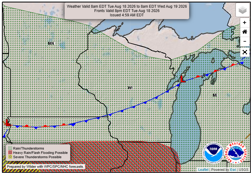
After the storms clear, a high-pressure system will settle over the region, leading to cooler temperatures. Expect lows in the lower 40s and upper 30s overnight, with a 10% chance of isolated frost in the coldest spots. Tuesday is looking to be a quiet and mainly dry day, with highs in the 70s.
Looking Ahead
As we look out to later in the week, there will be additional chances for showers and thunderstorms on Thursday into Friday. However, significant rainfall is not expected, with amounts generally under a quarter of an inch.
“The initial line should pass through northwest Wisconsin through maybe 1-2 AM.”
For updated forecasts where you live check out our Forecasts Page.
Source: NWS DLH Area Forecast Discussion, issued 2026-08-17T18:59:00+00:00.
