

3 Things To Know:
- Patchy frost expected overnight in central and north-central Wisconsin.
- Rain chances increase late Thursday, especially west of Highway 52.
- Expect more rain as we head into the weekend.
Tonight’s Weather
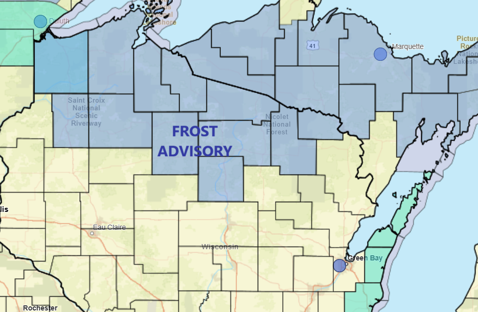
High pressure over the Great Lakes will lead to light winds and mostly clear skies tonight. As temperatures dip into the 30s, some areas in central and north-central Wisconsin could see patchy to scattered frost. The NWS notes, “this was far too little to issue a Frost Advisory,” but it’s wise to cover any sensitive plants if you’re in these areas.
Wednesday Frost Outlook
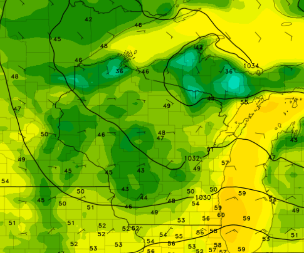
Wednesday will be pleasant, with high temperatures reaching the lower to mid-60s. Expect lows later in the evening to fall between the mid-30s and around 50 degrees. The coldest regions will continue to be in central and north-central Wisconsin, where the potential for frost lingers into the morning.
Rain on the Horizon
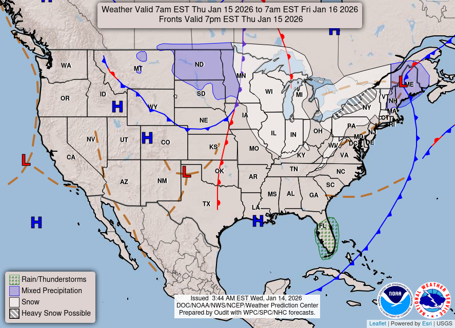
Looking ahead to Thursday, as a cold front approaches the Driftless Region, there is a 20 to 50 percent chance for rain. This is primarily expected in areas west of Highway 52 in northeast Iowa and southeast Minnesota. Highs will remain in the lower to mid-60s.
Weekend Forecast
As we move into Friday and the weekend, a shortwave trough will bring more unsettled weather, including periodic showers and possibly a few storms. Expect high temperatures in the 60s and overnight lows from the mid-40s to mid-50s.
For updated forecasts where you live check out our Forecasts Page.
Source: NWS ARX Area Forecast Discussion, issued 2026-09-22T17:50:00+00:00.
