

SOUTHERN & SOUTHEASTERN WISCONSIN
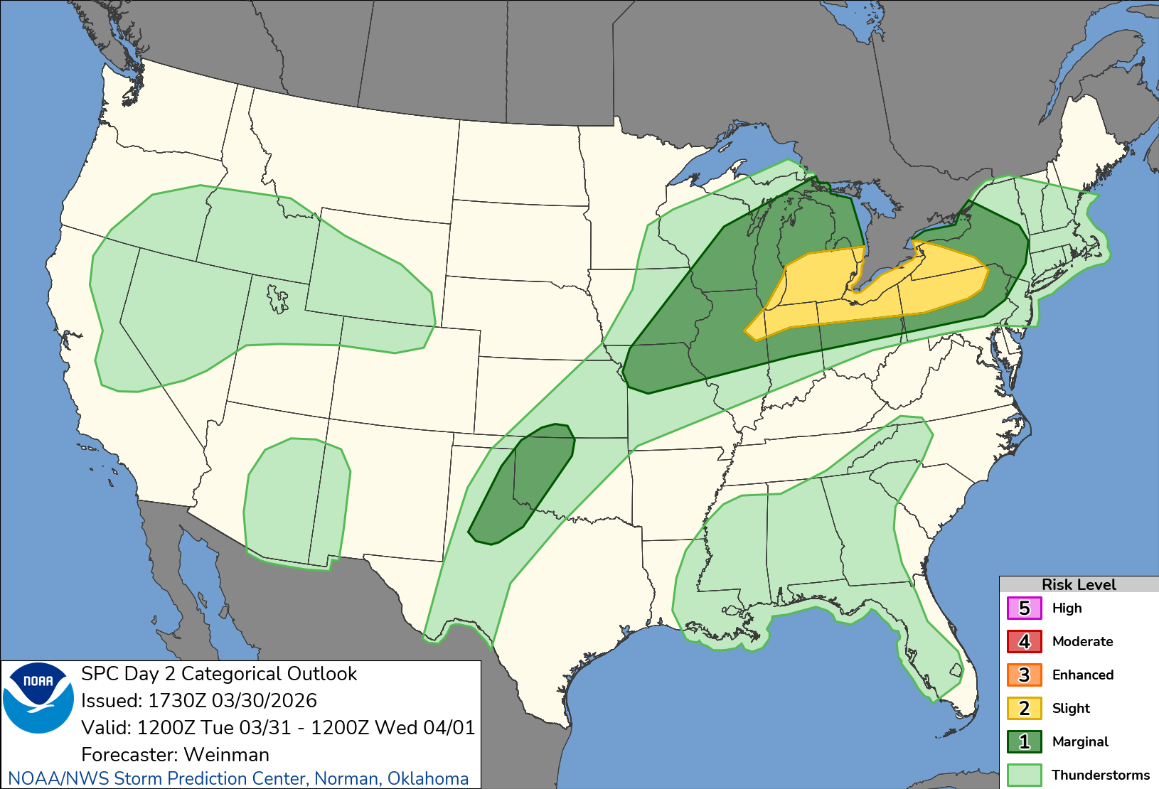
Storms, hail, and a midweek wintry mix could impact Southern Wisconsin. Here’s what to expect through the weekend. Southern Wisconsin is stepping into a classic spring pattern this week, with multiple rounds of active weather bringing everything from severe storms to a possible wintry mix by midweek. The setup begins with a warm, unstable air mass colliding with cooler lake-influenced air across areas like Milwaukee, West Bend, and Kenosha, creating a volatile environment for storms later today and tonight.
3 Things to Know
- Strong storms tonight into Tuesday could produce large hail, especially after 8 p.m.
- A midweek system may bring a messy mix of rain, ice, and snow with travel impacts Wednesday night into Thursday morning
- Another round of rain and storms arrives Friday into Saturday before calmer weather returns
Storm Threat Tonight and Tuesday

The first round arrives this evening, mainly after 8 p.m., as a disturbance lifts out of the Plains. Scattered thunderstorms are expected across much of southern Wisconsin, though exact placement remains uncertain due to competing storm development scenarios.
A few storms could turn severe, especially overnight, with large hail up to 1.5 inches as the primary threat. Additional storms may redevelop into Tuesday morning and afternoon, particularly along a sagging cold front. Areas near and south of Interstate 94, including Milwaukee and the Illinois border region, may see multiple rounds of rain and storms before activity shifts south Tuesday evening.
Midweek System Brings Rain to Ice and Snow Risk
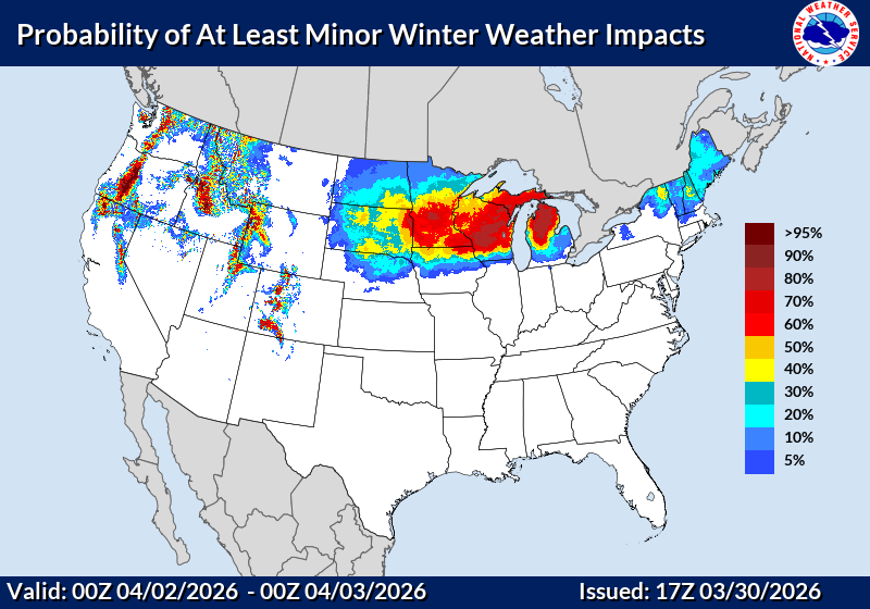
Attention then turns to a more impactful system arriving Wednesday evening into Thursday. A developing low pressure system tracking toward the Great Lakes will bring widespread precipitation, but the exact track will determine how messy things get.
Right now, the most likely scenario starts as rain across southern Wisconsin before colder air filters in overnight. That transition could bring a mix of freezing rain, sleet, and snow, especially north of I-94, including areas like Madison, Watertown, and Fond du Lac.
The timing raises concerns for both the Wednesday evening and Thursday morning commutes, where icy conditions could create travel impacts.
Another Round to Close the Week
The active pattern does not stop there. Another system is expected Friday into Saturday, bringing additional rain and even thunderstorms as temperatures trend slightly warmer again.
By Sunday into early next week, quieter conditions are expected to return as high pressure builds in, allowing temperatures to settle closer to seasonal norms. Check back to our Forecasts Page for updates.
