


3 Things To Know:
- Expect showers and isolated thunderstorms Monday night, mainly in the southeastern areas.
- Cool temperatures will dominate this week, with potential freeze warnings overnight Tuesday.
- Temperatures are forecasted to warm into the 70s by the weekend.
Monday Night’s Showers and Possibel Severe Storms
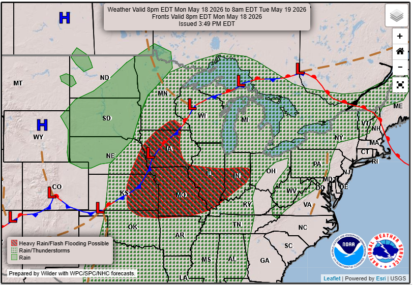
The National Weather Service has indicated that as we move into the evening, showers and some isolated thunderstorms are likely to develop. This activity is expected to build from the southwest after 9 PM, with the main departure point to the northeast occurring after 8 AM tomorrow morning. While the severe weather risk has diminished, a marginal risk does remain for the southeastern regions, with the potential for damaging winds and large hail. Rain totals across the area are projected between 0.10 and 0.25 inches, with isolated higher amounts possible in thunderstorms.
“The main threat for severe weather will be well off to our south.”
Freeze Warnings on the Horizon
As we look ahead to Tuesday night, temperatures are expected to drop significantly, prompting the likelihood of widespread freeze warnings across much of the region. Daytime temperatures will be cool, primarily in the 40s and 50s. Winds will be light, and any slight warming on Wednesday will see highs reaching into the 60s.
Warming Trend Ahead
By the end of the work week, a warming trend is forecasted as an upper-level trough moves across the Northern Plains. Rain chances will reappear Friday afternoon, with temperatures over the weekend expected to climb into the 70s and possibly 80s, though cooler conditions will linger near Lake Superior.
For updated forecasts where you live check out our Forecasts Page.
Source: NWS DLH Area Forecast Discussion, issued 2026-05-18T19:06:00+00:00.
