

3 Things To Know:
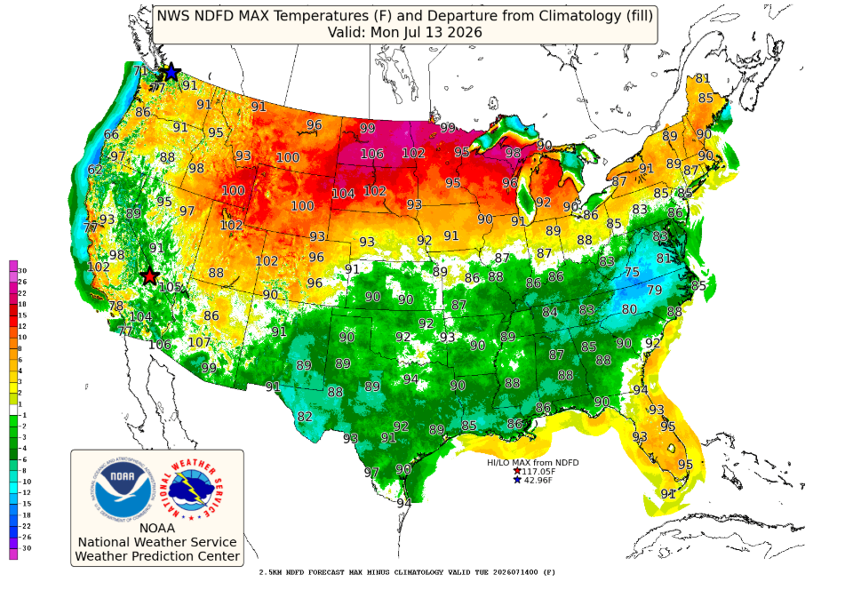
- Heat is building with potential heat advisories into early next week.
- Dry conditions will persist until late in the week, with small rain chances returning.
- Humidity levels will remain manageable, unlike previous heat events.
Overview
The latest forecast for Western Wisconsin indicates a shift toward warmer temperatures as we move through the early days of this week. After a pleasant weekend, expect rising heat and humidity, particularly from Monday through Tuesday.
Heat Advisory Outlook
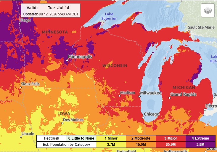
A strong upper ridge is set to intensify over the Northern Plains, bringing substantial warmth into our area. While we are not issuing a heat advisory currently, there is a potential need for one if conditions lead to heat indices reaching 100°F or higher. As of now, temperatures will likely rise into the upper 80s and low 90s during the day, aided by “strong warm air advection” from the south.
> “We may need heat headlines if confidence increases for heat indices near 100°F or greater with new model guidance.”
Humidity will play a role, but it is projected to stay lower than in previous heat events, with dewpoints maxing out in the low to mid-70s. This factor could contribute to lower apparent temperatures compared to past instances.
Rain Chances Late in the Week
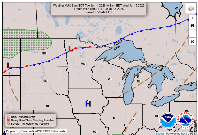
Looking ahead, conditions will remain warm but will also introduce a small chance for rain, particularly from Thursday through Saturday. Predictive models show a 20-30% chance of rain, particularly east of the Mississippi River, although confidence in timing and intensity is low due to weak atmospheric forcing.
In summary, expect a warm start to the week with moderating heat later in the week and only minimal chances of rain returning.
For updated forecasts where you live check out our Forecasts Page.
Source: NWS ARX Area Forecast Discussion, issued 2026-07-12T10:35:00+00:00.
