

3 Things To Know:
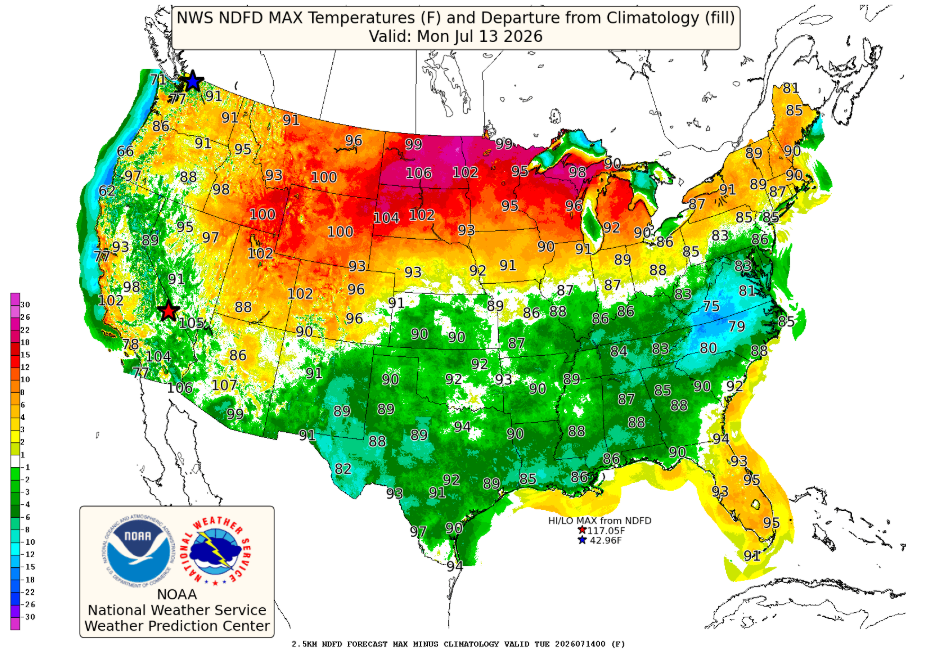
- Hot temperatures return with highs in the low to mid 90s from Monday through Wednesday.
- Heat indices may reach or exceed 100°F, especially in the eastern parts of the region.
- Dry weather persists until late in the week, when thunderstorms may return.
Overview
Southeast Wisconsin is gearing up for a stretch of hot weather starting early this week. The National Weather Service has indicated that temperatures will rise significantly, with highs expected to reach into the low to mid 90s from Monday through Wednesday.
Hot Weather on the Horizon
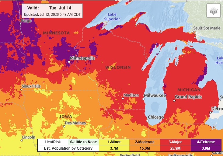
By Monday, a shift in weather patterns will bring warmer air from the Northern Plains, pushing highs into the lower 90s. Dewpoints will also increase, climbing into the 68-71°F range. This combination raises the heat index, particularly in eastern areas, where it’s forecast to peak over 100°F.
As stated in the Area Forecast Discussion, “the current forecast max heat indices for Tuesday are looking like 100-104 in the east half of the county warning area.” Residents should prepare for these elevated temperatures, especially those in the eastern portions of southern Wisconsin, where a heat advisory will likely be issued.
What to Expect
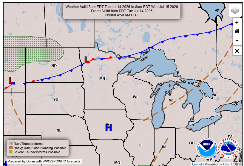
Most of the week will remain dry, although a subtle front is expected to approach by Wednesday. This will lead to a cooling effect along the lakeshore, while inland regions may still feel the heat. Thunderstorm chances make a return late in the week, particularly Thursday evening into Friday.
This is a critical time for agriculture, as the peak crop growth period may affect local microclimates and humidity levels. Overall, it’s a mix of highs and the potential for later storms as we move deeper into the week.
For updated forecasts where you live check out our Forecasts Page.
Source: NWS MKX Area Forecast Discussion, issued 2026-07-12T05:59:00+00:00.
