

3 Things To Know:
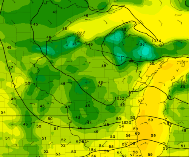
- Patchy frost expected late tonight, particularly in north-central and far northeast Wisconsin.
- Hazardous boating and swimming conditions will continue on the Bay and Lake until midnight.
- Dry weather is anticipated for the remainder of the week.
Current Conditions and Forecast
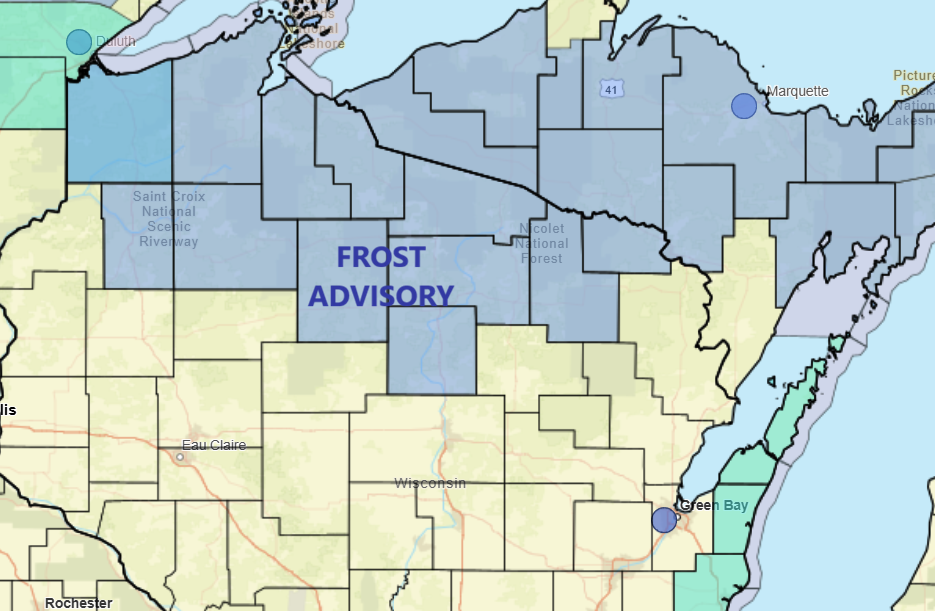
This afternoon, we’re watching a few key weather developments for Northeast Wisconsin. The main concern is the potential for patchy frost late tonight into Wednesday morning, especially in sheltered areas as clearing takes hold and temperatures drop into the mid-30s.
The National Weather Service advises that while coverage may be limited to low-lying areas, it’s prudent to prepare for this possibility. A frost advisory is in effect from 1 AM to 8 AM for areas including Vilas and Oneida Counties.
Marine Conditions
On the water, hazardous boating and swimming conditions will persist on the Bay and Lake through tonight. With easterly winds gusting between 20 and 25 knots, exercise caution if you’re out on the water. Conditions will start to improve after sunset, but elevated waves may still pose a risk until midnight.
Looking Ahead
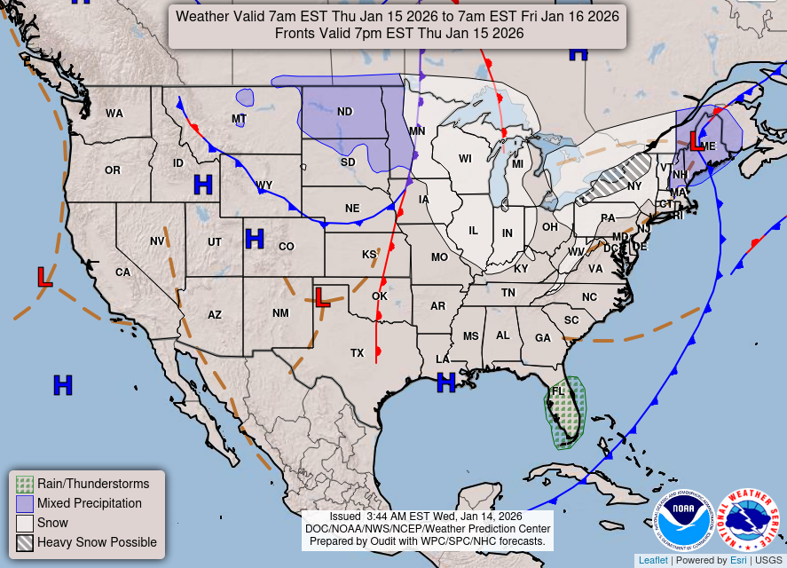
As we move into the rest of the week, dry conditions are expected to dominate our weather patterns. High pressure will settle in across the region, pushing the chance of rain to the weekend. While there are indications of light rain, particularly in our western counties, confidence in significant precipitation remains low.
Temperatures will be mostly in the 60s, warming into the 70s by early next week, setting a comfortable late-September scene.
As we noted earlier, plan accordingly for the chilly temperatures tonight and if you’re heading out to the lakes, keep safety in mind.
“Frost Advisory effects are in place for several counties overnight as temperatures fall into the mid-30s,” according to the NWS.
Conclusion
For updated forecasts where you live check out our Forecasts Page.
Source: NWS GRB Area Forecast Discussion, issued 2026-09-22T18:00:00+00:00.
