
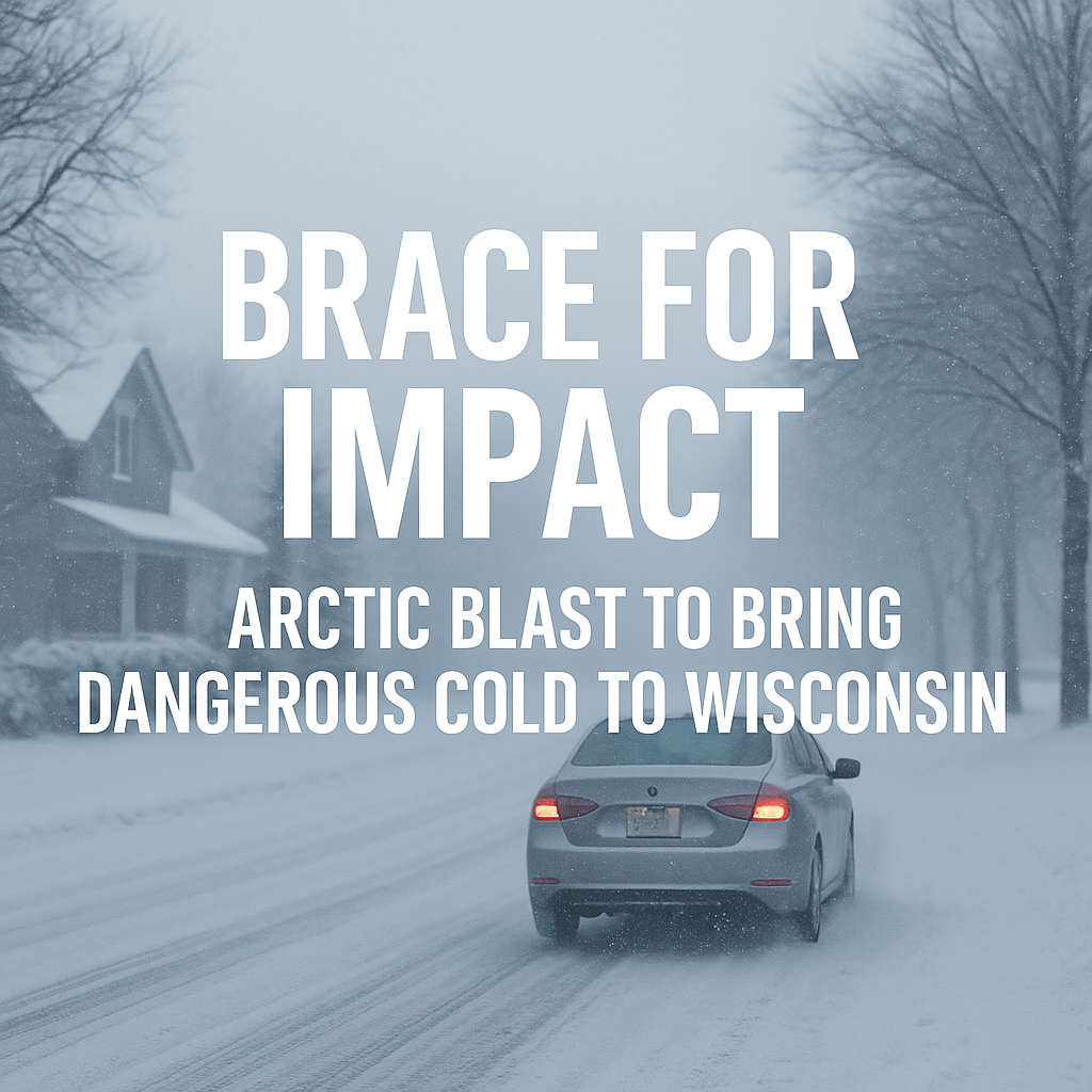
Wisconsin is staring down its coldest stretch of the season so far, as a bitter cold Arctic air mass plunges south late this week and into the weekend.
Wisconsin temperatures are projected to run cold – 15 to 20 degrees below normal, creating a stark contrast to the mild spells earlier this month.
“This is the kind of cold that doesn’t just show up — it takes over.”
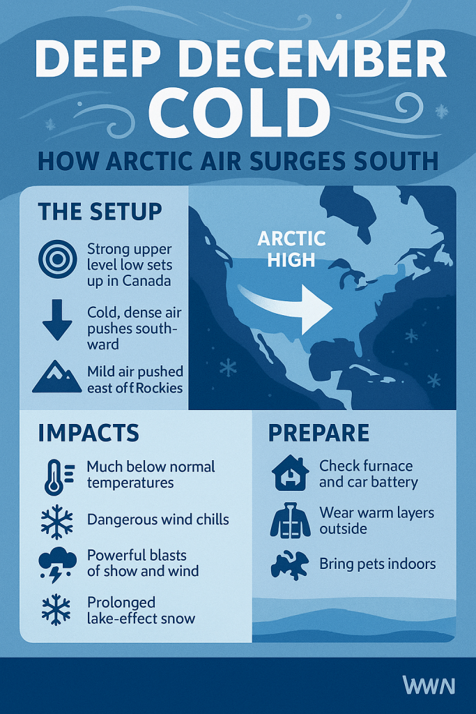
A Powerful Cold Pattern Shift
The Weather Prediction Center highlights a broad trough expanding across the central and eastern U.S., pulling frigid northern Plains air directly into the Midwest. That means the warm anomalies out West will be matched by an unusually sharp chill east of the Rockies, with Wisconsin squarely in the core of the coldest air.
By Friday and Saturday, many locations may not reach the teens for daytime highs, and lows could slide below zero — especially across central and northern Wisconsin.
“It’s a full reset to winter — wind chills, icy mornings, and the whole package.”
What Wisconsin Residents Can Expect
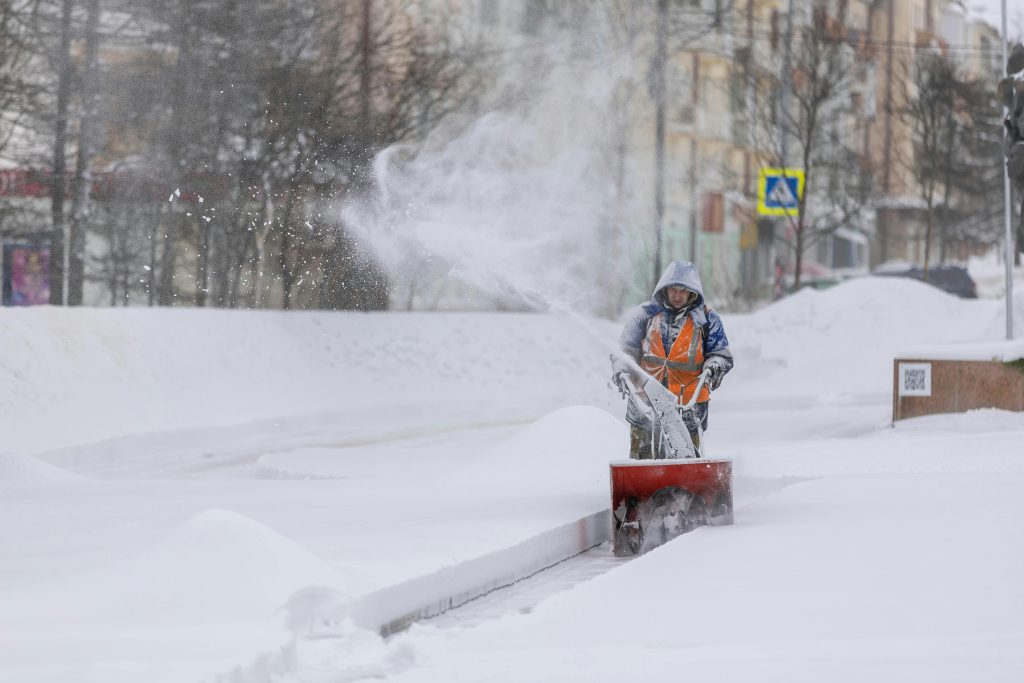
This cold snap doesn’t arrive alone. Each clipper earlier in the week lays the groundwork with fresh snow, helping temperatures drop faster and stay lower as Arctic air settles in.
Prepare for:
- Single-digit highs in northern counties
- Sub-zero lows for much of the state
- Wind chills between -10 and -25
- Lake-effect bursts continuing in the coldest air
- Hard-freeze impacts on roads, pipes, pets, and vehicles
“There’s cold… and then there’s the kind of cold that bites the minute you step outside.”
Why This Matters
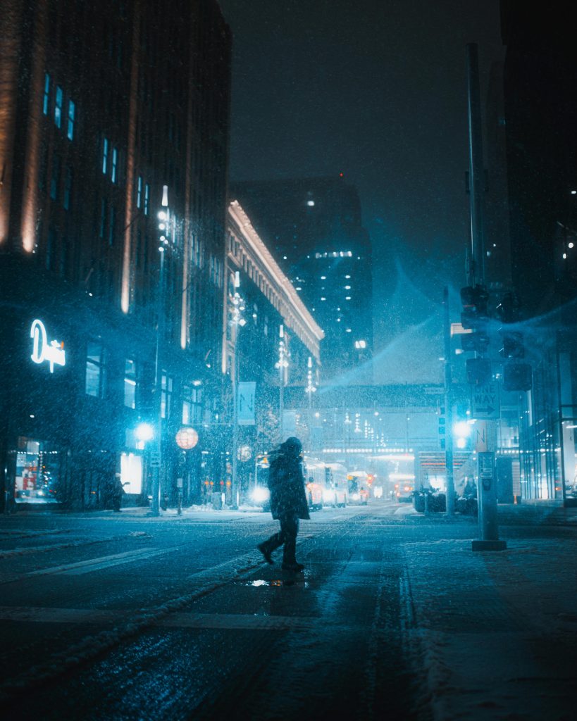
Cold snaps like this aren’t unusual in mid-December — but the intensity and timing matter. This blast hits during a high-travel stretch before the holidays and follows a week of on-and-off snow. That combination raises the risk of:
- Slick commutes
- Freezing spray on bridges
- Increased demand on heating systems
- School day adjustments
It also sets the stage for possible pattern volatility later in the month. Deep cold often acts as a “pressure cooker” for bigger storm systems down the road.
“When Arctic air digs in, it rewrites the weather map — and sometimes the storm track, too.”

What to Expect
- Dangerous wind chills: -10 to -25, especially mornings and evenings.
- Fast freeze-ups: Wet roads can turn icy within minutes after sunset.
- Hard cold on infrastructure: Pipes, vehicles and HVAC systems get stressed.
- Snowpack + Arctic air = colder than forecast: Expect temperatures to run lower than guidance, especially north of I-94.
How to Stay Ahead of the Cold
- Pre-treat walkways/driveways before the deep chill arrives — salt works better before the freeze.
- Run faucets at a slow trickle overnight in drafty or older homes to reduce pipe-freeze risk.
- Check vehicle essentials: battery, tire pressure, windshield fluid rated for subzero temps.
- Bring pets in sooner — wind chills will be dangerous for animals in minutes.
- Bundle trash bins, outdoor hoses and extension cords — extreme cold can crack plastic.
For Commuters
- Expect icy patches even with sunshine — extreme cold keeps roads slick.
- Warm up cars outside, never in garages — carbon monoxide risk spikes in winter.
- Plan for slower starts: Winds + deep cold = more frost, thicker ice, and longer scraping times.
- Watch bridges and overpasses first — these freeze well before main roads.
For Travelers
- Airport delays are possible as deep cold impacts de-icing operations.
- Expect slower traffic statewide on early-morning travel days.
- Pack a winter kit: blanket, charger, snacks, gloves, scraper, and extra layers.