
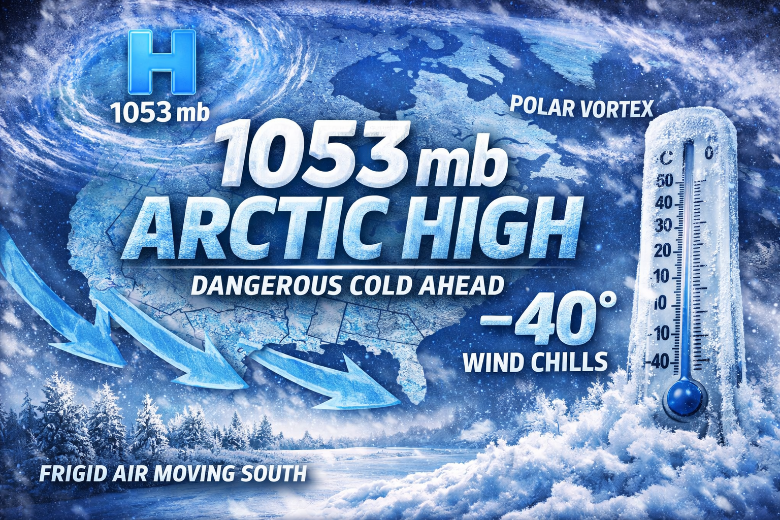
- A rare 1053 mb Arctic high pressure system will push into the Midwest late Thursday, driving a powerful Arctic cold front through Wisconsin.
- Wind chills of 30 to 40 below zero are likely from late Thursday night through Saturday morning, prompting an Extreme Cold Watch.
- Sunshine returns Friday, but temperatures may stay below zero, with the cold lingering into the weekend and only slow moderation early next week.
Wisconsin is staring down a stretch of dangerous cold later this week and the reason can be summed up in one eye-popping number: 1053 millibars.
That’s the central pressure of a massive Arctic high pressure system forecast to slide south out of western Canada and into the Upper Midwest. For meteorologists, that number immediately raises red flags. For everyone else, it explains why the cold late this week will be unusually intense and potentially life-threatening.

What Is an Arctic High — and Why Is 1053 mb a Big Deal?
High pressure systems are common in winter, but not all highs are created equal. A typical strong winter high might measure in the 1025–1035 mb range. Once pressures climb above 1040 mb, you’re dealing with a much rarer and more extreme air mass.
A 1053 mb Arctic high represents a dome of exceptionally cold, dense air. When that air mass pushes south, it doesn’t just bring colder temperatures — it reinforces them, often for several days.
In this case, forecast discussions indicate that high pressure will build over Alberta and Saskatchewan before diving southeast into the Midwest late Thursday into Friday.
Why This Arctic High Means Dangerous Cold for Wisconsin
As this high settles southward, it will drive a powerful Arctic front through Wisconsin late Thursday. Behind it, temperatures will plunge quickly.
Forecast guidance points to:
- Air temperatures falling to 10 to 20 below zero
- Sustained northwest winds of 10 to 20 mph, with higher gusts
- Wind chills of 30 to 40 below zero, potentially colder in spots
Those values easily meet criteria for extreme cold and explain why forecasters are already flagging this as a high-confidence, high-impact event.
“As the high sags further south into the Dakotas Thursday night (at roughly 1053 mb central pressure, which is very impressive), it forces a powerful arctic front through our region, with 30 to 40 below zero wind chills arriving late Thursday night into Friday morning.” – NWS
That sentence alone captures both the rarity of the setup and the seriousness of what it brings.
Sunshine Won’t Help Much
One of the more counterintuitive aspects of Arctic highs is that they often arrive with clearing skies. Sunshine returns, but temperatures struggle — or outright fail — to respond.
Even during the daytime Friday:
- High temperatures may remain below zero
- Wind chills are expected to stay in the 20 to 30 below range
Clear skies allow for strong radiational cooling at night, which means Friday night into Saturday morning may be just as cold, if not colder, even as winds gradually ease.
Why Meteorologists Watch Pressure So Closely
Surface pressure tells us how deep and entrenched an air mass really is. A high of this magnitude doesn’t move out quickly and isn’t easily modified. That’s why confidence is high that the cold will persist into the weekend, even after winds begin to relax.
It’s also why any meaningful warmup looks slow at best heading into early next week.
What This Means for You
This is not just “bundle up” cold. These are conditions where:
- Frostbite can occur in minutes
- Outdoor exposure becomes dangerous without proper gear
- Vehicle, battery, and plumbing issues become more likely
The number — 1053 mb — is the signal that this is a serious Arctic outbreak, not a routine cold snap. Watch our Forecast Page for details in your area.
Stay weather-aware, plan ahead, and treat the late-week cold with respect.