

3 Things To Know:
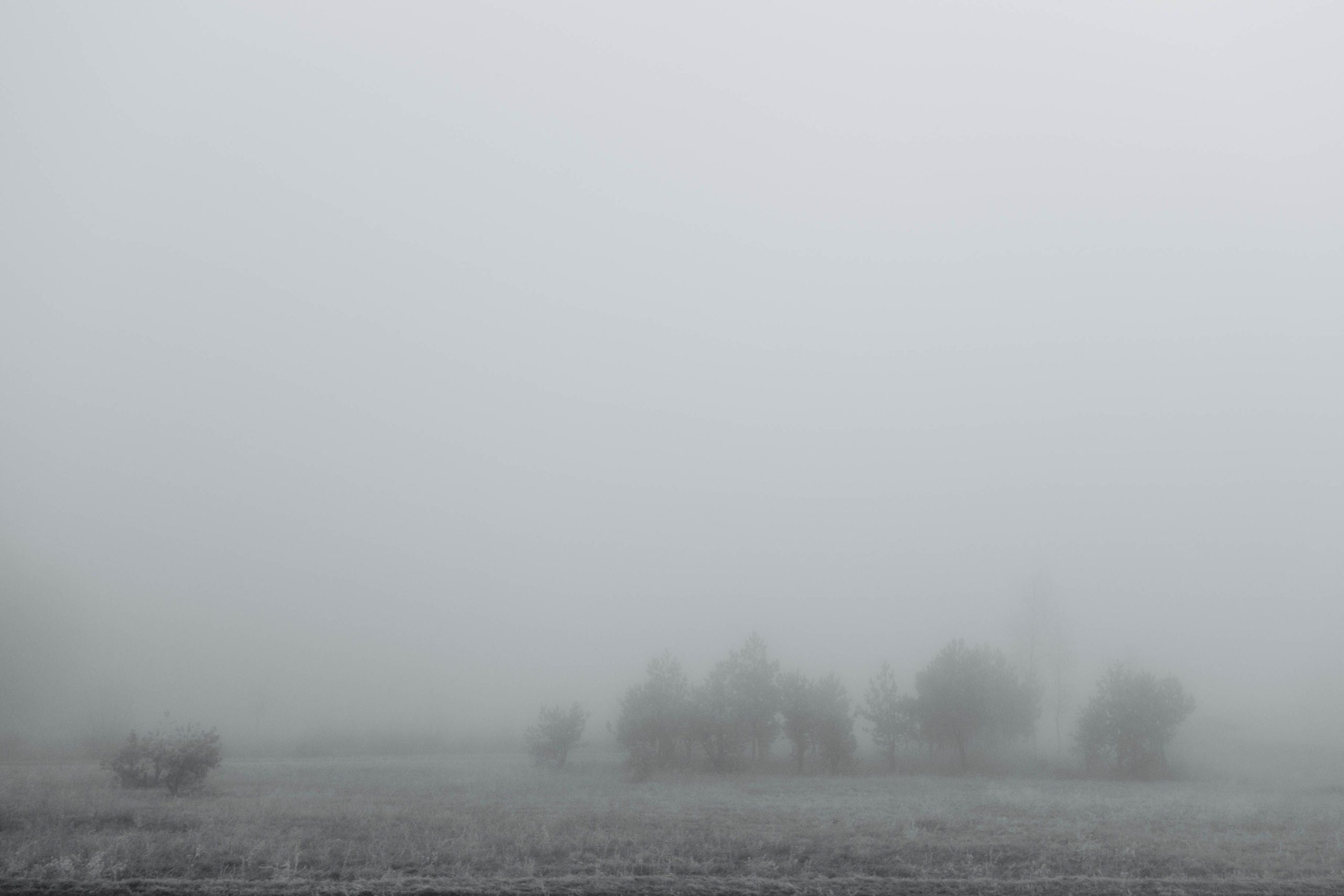
- Fog will linger near Lake Superior into the evening.
- Expect rain showers tonight and again on Saturday, with light accumulations.
- A cooler air mass will move in from Sunday, bringing temperatures down significantly.
As we head into the evening, areas near Lake Superior are still under the influence of dense fog. This fog is expected to linger, but will gradually clear as a warm front moves northeast. Today’s temperatures reached the upper 60s to lower 70s inland, although the lakeshore remained cooler due to the fog. Rain showers are on the way, increasing tonight as this front brings moisture into the region.
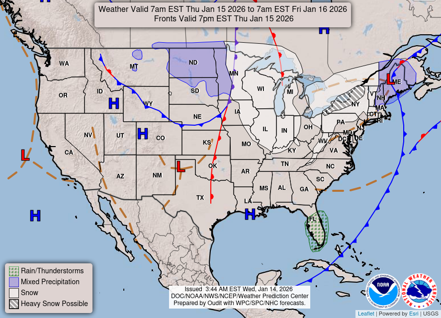
Looking at the forecast for in-depth weather patterns, here’s the WPC Day 1 map:

Saturday’s Weather Outlook
Saturday will see a continuation of the wet weather as a cold front makes its way across Northwest Wisconsin. Expect more rain, potentially accompanied by an isolated thunderstorm. Despite the rain, temperatures will peak again in the 60s and lower 70s, likely marking our last warm day for a while.
Rain chances will diminish from west to east late Saturday night, ahead of a cooler and drier air mass that will settle in on Sunday. It’s important to note that rainfall accumulations will be light, generally staying below a quarter of an inch, with most areas accumulating less than 0.1 inches.
Here’s the WPC Day 2 map to keep you informed about Sunday’s weather patterns:
Looking Ahead
With the arrival of this cooler air mass, Sunday’s highs will drop significantly to the 40s and 50s. Overnight lows will dip below freezing in many inland locations. Looking into next week, rain chances will return Monday through Wednesday as an upper-level low moves in from the Rockies. Don’t be surprised if some snowflakes mix in, particularly in northern areas, but any snow accumulation is expected to be minimal.
In summary, prepare for a shift in weather conditions this weekend with both rain and a significant cool down on the way. Stay safe out there, and for updated forecasts where you live check out our Forecasts Page.
Source: NWS DLH Area Forecast Discussion, issued 2026-10-23T20:03:00+00:00.
