


3 Things To Know:
- Light rain is possible Friday and again late Saturday.
- Mostly dry conditions continue through Sunday.
- Expect cooler temperatures next week, but remaining above normal.
Friday into Sunday: Mostly Dry with Low Rainfall Chances
As we head into the weekend, Western Wisconsin will mostly stay dry. However, a small chance for light rain exists this afternoon and evening, thanks to a shortwave lifting northward from Iowa. Although a few scattered sprinkles or light showers may occur, the impact is expected to be minimal. Most of the precipitation may evaporate before reaching the surface.
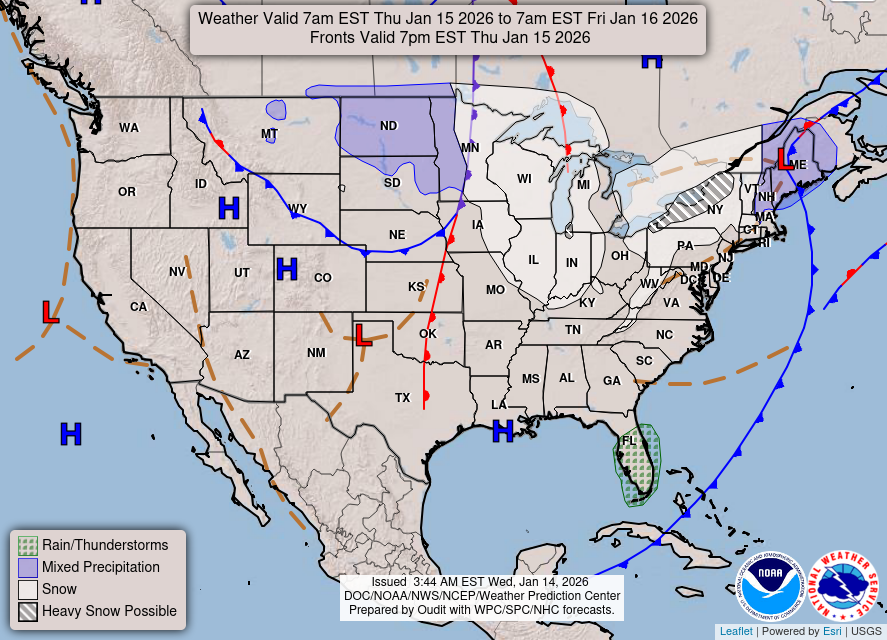
Tonight, the region will see the arrival of a strong cold front from Canada. This boundary is likely to stall north of I-90 into Sunday, leading to weak moisture advection along the front. The chances for light rain surface again late Saturday through Sunday, with probabilities ranging from 10 to 20 percent.

Next Week: Greater Rainfall Potential and Cooler Temperatures
As we move into next week, the stalled cold front will start to sag southward, allowing cooler air to filter into the region. While there remains some uncertainty regarding how far south the boundary will sink, early indications suggest highs will range from the upper 50s to low 60s.
Late Sunday into Monday, a low-pressure system developing across the Great Plains could bring greater rainfall to the area, with probabilities currently standing at 40 to 70 percent, particularly in western and northern counties. Potential rainfall amounts could range from 0.25 to 0.5 inches, with some forecasts indicating a slight chance for even higher amounts, especially south of our area.

Looking ahead to midweek, additional chances for rain may arise due to a shortwave moving across the northern U.S. This could result in breezy conditions and another opportunity for precipitation before high pressure returns towards the end of next week.
For updated forecasts where you live check out our Forecasts Page.
Source: NWS ARX Area Forecast Discussion, issued 2026-10-23T18:00:00+00:00.
