

3 Things To Know:
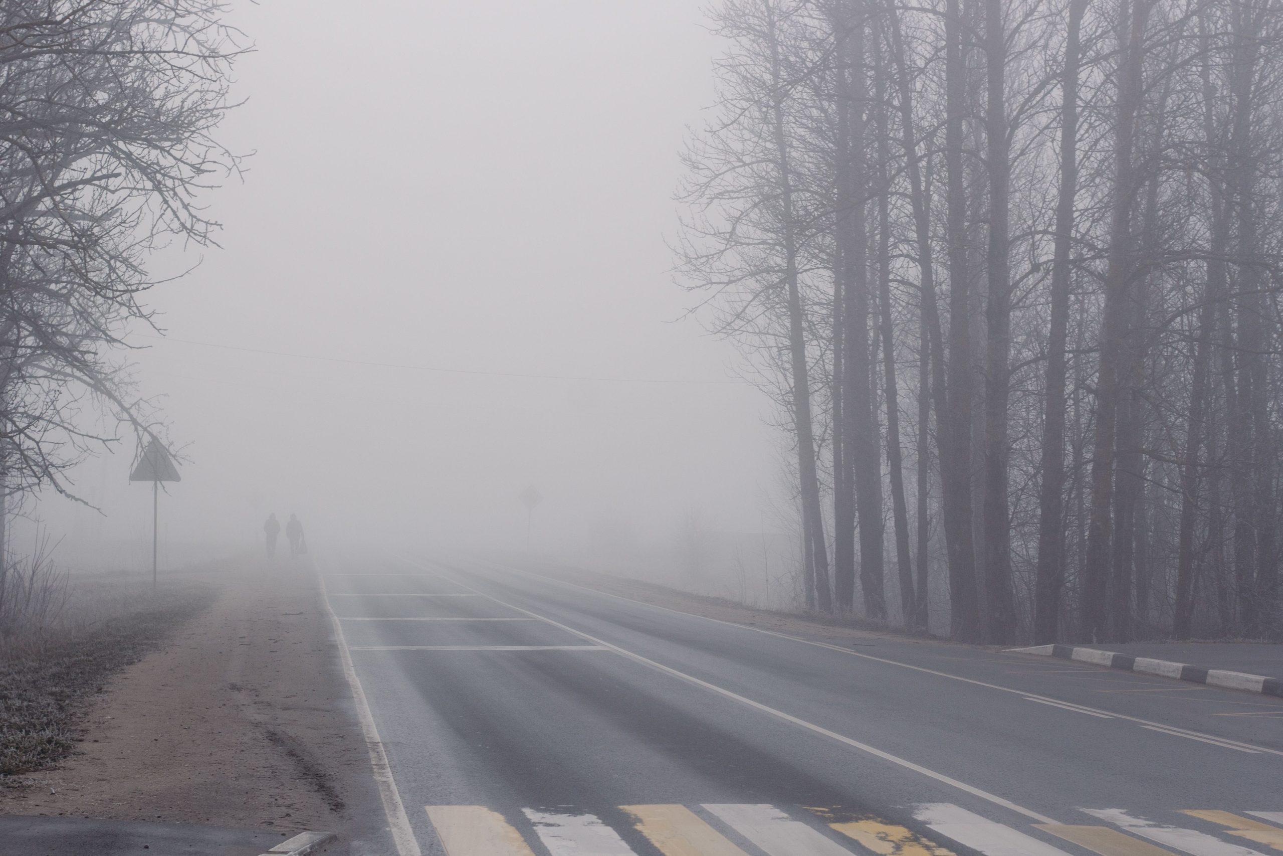
- Patchy fog could impact visibility late tonight into Friday morning.
- Mild temperatures are expected this weekend, reaching mid 60s to low 70s.
- Light rain chances return Saturday evening and continue into next week.
Fog Chances Tonight
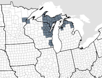
As we head into tonight, we are seeing the potential for areas of fog to redevelop, particularly late tonight into early Friday. An onshore breeze off the Bay has already kept patchy fog present in parts of east-central Wisconsin this afternoon. Although dense fog has lifted, conditions may create just enough moisture for fog or low stratus to form again later. The National Weather Service notes, “current thinking is that there may be just enough mixing to keep the low stratus deck elevated.” While no advisory has been issued yet, this will be monitored closely.
Weekend Outlook
Looking ahead to the weekend, expect mild temperatures across Northeast Wisconsin, with highs inland of Lake Michigan reaching the mid 60s to low 70s. However, rain chances will begin to kick in Saturday evening as a cold front approaches the area. The chances of light rain are currently estimated at 20 to 40%, with these figures likely to be adjusted upwards as we get closer to the event. Periodic rain might continue into Monday.
As temperatures drop next week due to an arctic high, we can anticipate highs mainly in the 50s. It appears that cooler weather will follow, but not for long. By Wednesday, the forecast suggests a return to slightly warmer conditions.
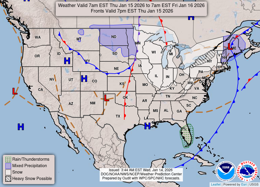
Stay tuned for updates as we move through the weekend and into next week. For updated forecasts where you live check out our Forecasts Page.
Source: NWS GRB Area Forecast Discussion, issued 2026-10-22T17:30:00+00:00.
