
Storms exit Monday night across Wisconsin, followed by a cooler, mostly dry stretch with frost risk and ongoing river concerns.
3 things to Know
- Storms exit Monday night with limited severe risk, mainly south and central
- Cooler air dominates with highs in the 50s and frost potential late week
- Rivers remain elevated, especially along the Wolf, Fox and Menominee
Southern Wisconsin: storms early, then cooler and quieter
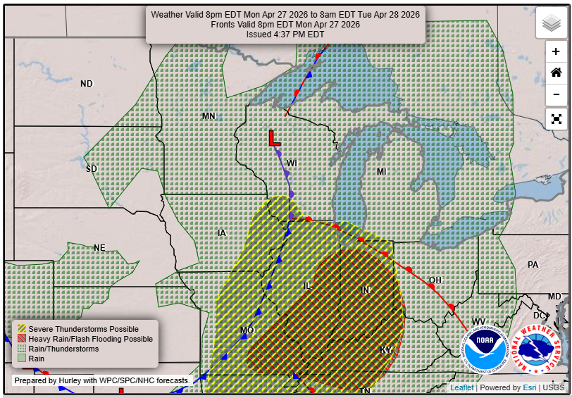
Southern Wisconsin, including Madison, Janesville and areas west of I-39, saw the best chance for stronger storms Monday evening. A few storms were capable of producing hail up to around one inch and localized strong wind gusts before weakening later at night.
Counties like Iowa, Lafayette, Green and southwestern Dane were in the zone where a brief tornado could not be ruled out, though the overall risk remained low.
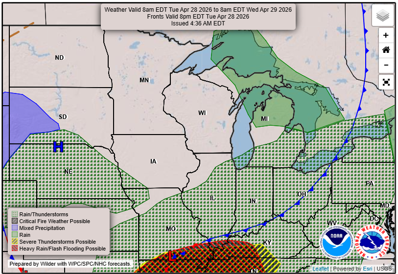
As the cold front pushes east, skies gradually improve into Tuesday. The rest of the week trends cooler and mostly dry, with highs near 60 Tuesday and then settling into the 50s through Friday.
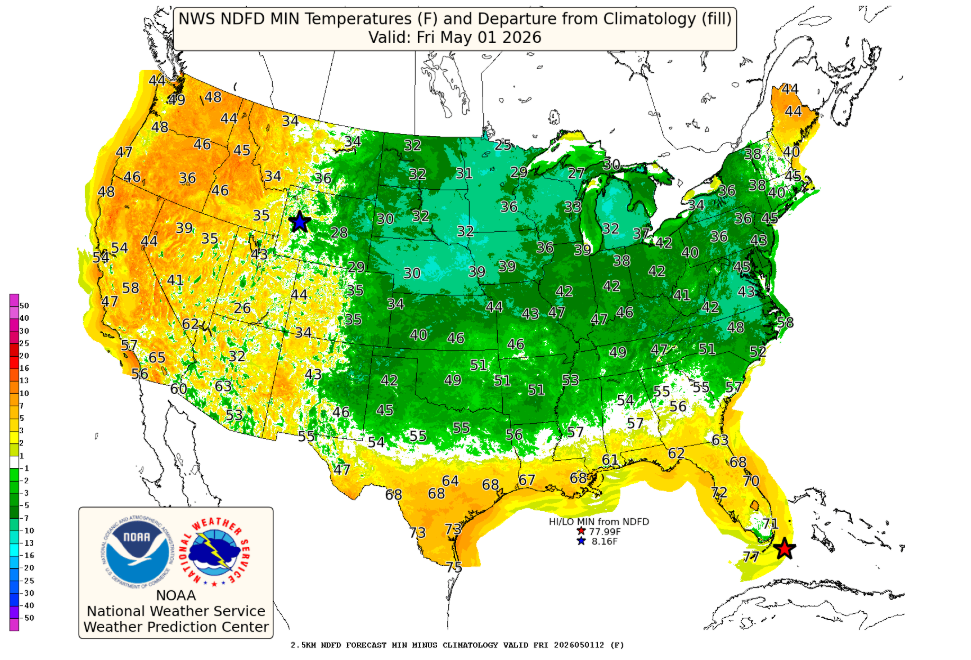
Frost becomes a concern late week, especially Friday night when colder air settles in more firmly.
Central Wisconsin: gusty winds, fading storms
Central Wisconsin, including Wisconsin Rapids and Marshfield, dealt with a mix of showers, storms and strong winds Monday afternoon and evening.
Behind the rain, gusts pushed into the 40 mph range in spots as a wake low developed. Severe storm chances dropped off quickly as the system moved east and instability weakened.
Conditions quiet down significantly after Tuesday morning. Expect a mix of clouds and sun with temperatures running below normal through the week. A stray shower is possible midweek, but most locations stay dry.
Northeast Wisconsin and Fox Valley: rain ends, rivers rise
From Green Bay to Oshkosh and Kewaunee, storms were weaker overall, though periods of moderate rain and embedded thunder moved through Monday evening.
The severe weather risk was mainly south of a Marshfield to Green Bay to Kewaunee line and continued to trend lower through the evening.
“The risk of severe weather is very low.”
Rainfall totals generally ranged from a quarter inch to one inch, enough to keep rivers elevated.
Minor flooding continues along the Fox River at Oshkosh and throughout the Lake Winnebago system, with water levels expected to remain high through the week.
Cooler weather takes hold through the work week, with highs in the 50s and lows dipping into the 30s by mid to late week.
North Central Wisconsin: quiet pattern with chilly nights
Areas like Wausau, Rhinelander and surrounding counties settle into a quieter stretch after Monday night.
A few lingering showers may pass through early Tuesday, but the overall trend is toward dry weather. Temperatures will run about 10 degrees below normal, with highs in the 50s and lows in the 30s.
With clearing skies at times, frost becomes increasingly likely on multiple nights, especially later in the week.
Northwest Wisconsin: rain tapers, watching fire risk later
Inland northwest Wisconsin, including Price and Sawyer counties, had a brief window Monday evening for a stronger storm with small hail, though severe weather was not expected.
Rainfall totals were higher in parts of the region, with up to around an inch or more in some spots.
As the system departs, a cooler and drier air mass moves in. Highs stay in the 40s to 50s through midweek, with lows near or below freezing at times.
By late week, drying conditions and lower humidity could bring a return to near critical fire weather concerns as fuels dry out.
Western Wisconsin: cooler trend, limited midweek rain
From La Crosse to Eau Claire, the severe threat faded quickly Monday evening as the cold front moved through.
A few light showers may linger into Tuesday morning, but the broader pattern shifts to cooler and drier conditions for the rest of the work week.
Highs remain in the 50s with lows in the 30s. A few weak disturbances could bring occasional clouds or spotty showers Wednesday into Thursday, but impacts look minimal.
The weekend outlook: gradual improvement
By the weekend, temperatures begin to recover slightly across the state. Many inland areas should reach into the 60s, while lakeshore communities remain cooler.
Another weak system could bring a chance of rain late Sunday into Monday, but the overall pattern remains fairly quiet.
The bottom line
After a stormy start, Wisconsin settles into a cooler and calmer stretch. The main concerns shift from severe weather to chilly nights, patchy frost and ongoing river levels through the end of the week. Check our Forecast page for updates in your areas! Plus, plan ahead for your Friday with our Fish Fry Forecast!