


3 Things To Know:
- Isolated severe storms are possible tonight, particularly in the northwest part of Northeast Wisconsin.
- Cooler and drier conditions are expected for the middle to late part of the week, with frost or freeze warnings likely.
- Temperatures will warm up again by next weekend with an increased chance of rain.
Severe Storm Possibility Monday Night
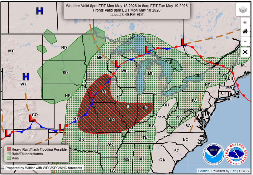
The main focus for today remains the potential for isolated severe storms as we head into tonight. A cold front is moving through the area, and storms are likely to develop in the late evening hours, primarily affecting the central and north-central regions. As noted in the NWS AFD, there’s a chance for “gusty winds and heavy rain” as storms pass through.
Cooling Off Midweek
After the storm activity, we can expect a shift to cooler and drier conditions. Highs for Tuesday are likely to be in the lower 60s for most areas, dipping into the 50s in northern parts of the region. Tuesday night and Wednesday night could see frost or freeze headlines issued, particularly for northern Wisconsin.
Warming Trend Returns
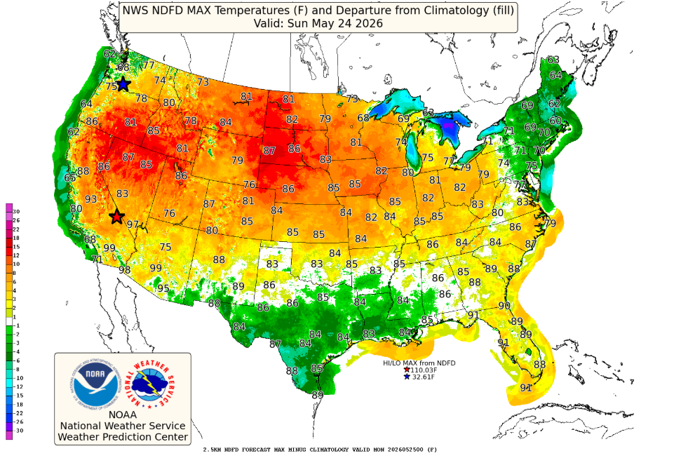
By the weekend, temperatures are expected to rebound, with highs climbing back to normal. Rain chances will also be on the rise as we move closer to next weekend. Stay tuned for updates as conditions develop.
For updated forecasts where you live check out our Forecasts Page.
Source: NWS GRB Area Forecast Discussion, issued 2026-05-18T18:44:00+00:00.
