
By Wisconsin Weather Now Staff
If you’ve lived in Wisconsin long enough, you know we don’t get “normal” winters — we get Wisconsin winters. And the latest long-range outlook from NOAA’s Climate Prediction Center says we’re in for another season of weather mood swings.
Forecasters now place a 70 percent chance that a weak La Niña will form this fall — the kind that can tip our winter toward colder snaps, wetter stretches, and more ups and downs than a sledding hill in Eau Claire.
What’s Going On in the Pacific?
Ocean waters near the equator are running cooler than average, and that cooling pattern — known as La Niña — can ripple across the atmosphere, shifting the jet stream and storm tracks that shape our seasons. The setup often keeps the northern U.S. stormier and slightly cooler, while the South turns drier and warmer.
For Wisconsin, that usually means a more active winter, with bursts of cold and chances for heavy snow — especially across the north and central parts of the state.
What to Expect This Fall and Winter
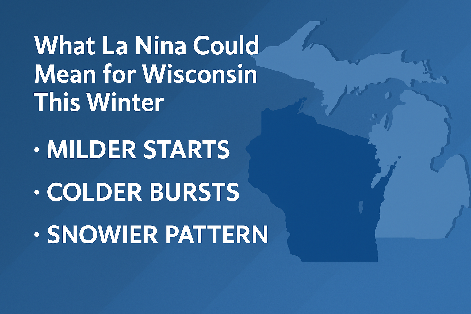
- Fall (October–December): Temperatures across Wisconsin and the Upper Great Lakes fall into the “equal chances” category — no clear lean toward above or below normal. Translation: it’s Wisconsin; expect a little of everything.
- Early Winter (December–January): As La Niña strengthens, the jet stream could dip south, pulling colder air into the region at times.
- Mid to Late Winter (January–March): Wetter-than-average conditions are favored for the Great Lakes region, raising the odds for more frequent snow events.
How This Might Affect Life in Wisconsin
- Commuters: More days with snow and slush could mean messier morning drives.
- Sports and Recreation: Ski hills and snowmobile clubs could get a boost from a few well-timed snowstorms.
- Homeowners: Expect more freeze-thaw cycles, which can take a toll on driveways, roofs, and pipes.
- Farmers and Gardeners: A wetter winter could help recharge soil moisture after the growing season.
Quick Brief
- La Niña likely by late fall (70% chance).
- Temperatures: Near-normal overall, but with colder bursts mid-winter.
- Precipitation: Wetter pattern means higher odds for snowier weather across Wisconsin and the Upper Great Lakes.
By the Numbers
- 71% — Chance of La Niña forming by November
- 54% — Odds it continues through winter before easing by spring
- 0.5°C — Current sea surface temperature departure in the Pacific (cooler than average)
- 3–5° — Typical winter temperature swings in La Niña years for southern Wisconsin
How to Prepare for a La Niña Winter in Wisconsin
- Get your snow gear ready early. Snow blowers, shovels, and salt don’t last long once the first flakes fly.
- Check your home insulation. Frequent freeze-thaw patterns can lead to ice dams and pipe bursts.
- Plan for travel delays. Expect a few “snow days” for both kids and commuters.
- Embrace it. A good La Niña can mean a classic Wisconsin winter — plenty of excuses for chili, hot cocoa, and snowshoeing.
The next update from the Climate Prediction Center arrives October 16, offering a fresh look at how this La Niña is shaping up as winter approaches.
Source: NOAA Climate Prediction Center, September 18, 2025.