
Three-Point Brief
- Light snow likely Tuesday into Wednesday as a fast-moving clipper crosses the Great Lakes.
- Late-week storm development remains uncertain and could shift snow chances north or keep Wisconsin mainly cold and windy.
- Arctic air likely arrives by next weekend, bringing temperatures 10 to 20 degrees below average.
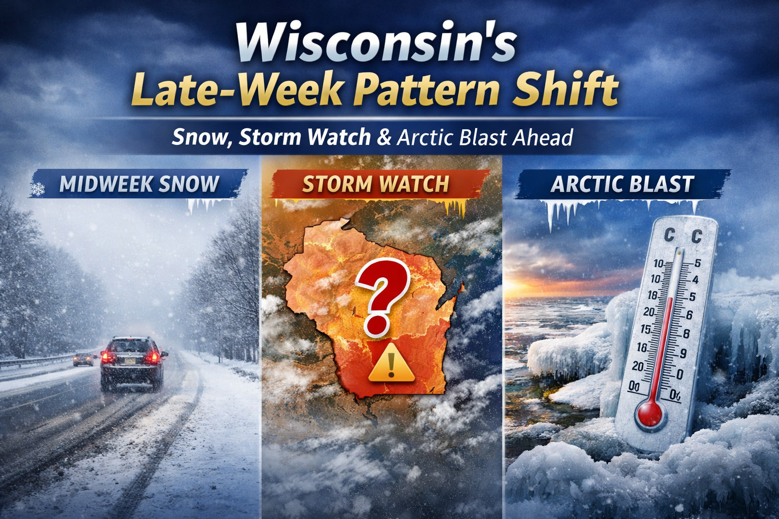
A clipper brings midweek snow to Wisconsin, followed by late-week storm uncertainty and a sharp Arctic cool down next weekend.
A three-phase weather pattern will unfold across Wisconsin this week — starting with a quick-moving snowmaker, followed by late-week storm track questions and ending with a surge of colder air into next weekend.
The setup comes from the latest extended forecast discussion issued by the National Weather Service Weather Prediction Center, which highlights both short-term snow potential and a growing signal for arctic air by the end of the week.
Here’s how it breaks down.
Phase 1: A Fast-Moving Clipper Brings Midweek Snow
A classic Alberta clipper is expected to sweep across the Great Lakes Tuesday into Wednesday.
These systems typically move quickly, which limits total snowfall but can still create slick travel — especially during the morning or evening commute.
The Weather Prediction Center notes that models have sped up the clipper across the Great Lakes, suggesting a quick in-and-out event.
What this means for Wisconsin:
- Light to locally moderate snowfall
- Brief reductions in visibility during heavier bursts
- Spotty accumulations, especially north and east
- Gusty northwest winds behind the system
At this point, this looks more like a nuisance system than a major winter storm — but timing will determine travel impacts.
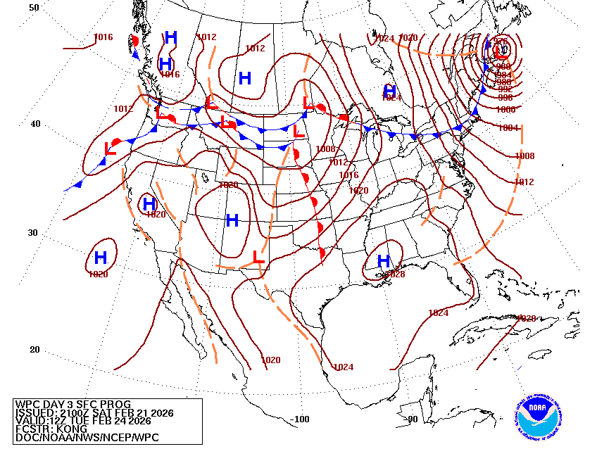
Phase 2: Late-Week Storm Track Uncertainty
Forecast confidence decreases by Thursday and Friday.
The extended discussion highlights uncertainty from the central U.S. into the Northeast due to potential amplification of a low-pressure wave. In plain terms: models are still sorting out how strong the system becomes — and how far north it tracks.
For Wisconsin, that difference matters.
If the system trends farther north:
- Snow chances could increase
- Winds could strengthen
- A sharper cold front would follow
If it stays suppressed to the south:
- Wisconsin avoids heavier precipitation
- The primary impact becomes wind and falling temperatures
Right now, ensemble guidance suggests modest development, but this is a classic scenario where small track adjustments can lead to noticeable local differences.
This is the phase to monitor closely. Check our forecast page.
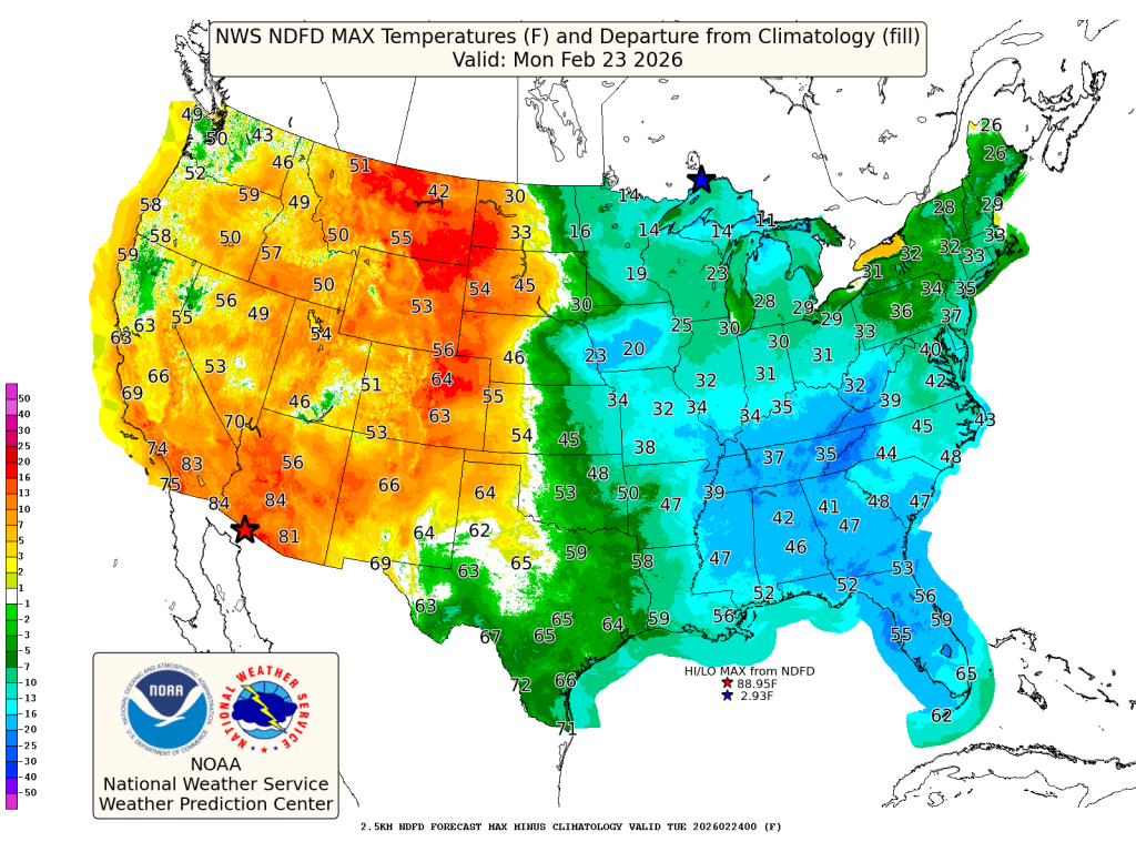
Phase 3: Arctic Air Returns Next Weekend
By Friday into Saturday, confidence increases in a push of colder air into the northern U.S.
The Weather Prediction Center signals that temperatures could run 10 to 20 degrees below average across parts of the northern tier by next weekend.
For Wisconsin, that likely means:
- A sharp drop in temperatures late week
- Wind chills potentially falling below zero
- A return to more typical late-February cold
If skies clear behind the front, overnight lows could fall quickly, especially in inland areas away from Lake Michigan.
The Big Wisconsin Takeaway
This week is less about one blockbuster storm and more about a pattern transition.
- A quick midweek snowmaker
- Late-week storm track uncertainty
- A colder air mass settling in for the weekend
Small shifts in storm track could change snowfall potential, especially across Milwaukee, Madison, Green Bay and Door County.
For now, plan for light midweek snow and a colder end to February.