
A windy November pattern is taking shape across North America, and Wisconsin is right in the path of the transition.
From Montana to Milwaukee
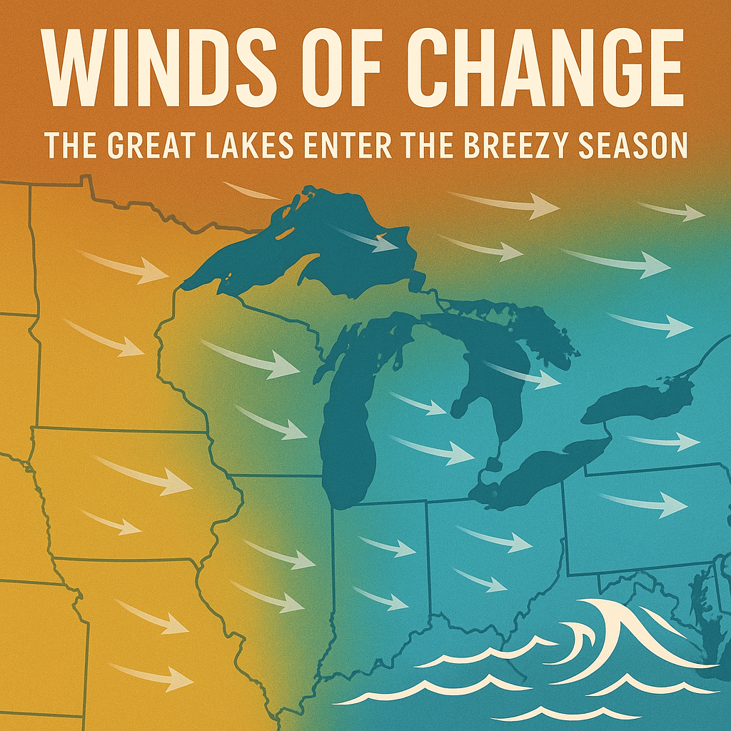
As high winds roar through the Rockies and northern Plains this weekend, the same system will push east ushering in a gustier stretch for the Upper Midwest and Great Lakes. The National Weather Service issued High Wind Warnings for parts of Montana on Sunday, where gusts could top 60 miles per hour. Those same pressure gradients will help drive a stronger westerly flow across the Plains and eventually into Wisconsin.
While winds here won’t reach damaging levels, gusts between 25 and 35 miles per hour are likely at times early in the week, especially over open terrain and near Lake Michigan.
The Start of “Wind Season”
Each November, colder air from the west collides with lingering fall warmth over the Great Lakes. That contrast tightens the pressure gradient and ramps up the wind machine. The result is a stretch of days where leaves, lake waves, and power lines all feel the strain.
Historically, November produces some of the region’s strongest wind events — including the infamous 1975 Great Lakes storm that sank the Edmund Fitzgerald.

Impacts Closer to Home
For Wisconsin, these early-month breezes mean choppy waters for boaters, extra drag for truckers, and longer commute times for cyclists. Homeowners should secure outdoor décor and prepare for cooler wind chills.
The same west winds will also stir up the nearshore waters of Lake Michigan, likely prompting another round of Small Craft Advisories by midweek.

Looking Ahead
Forecast models show a generally “zonal,” west-to-east flow through midweek. That setup favors quick-moving systems, brief rain chances, and continued gusty conditions at times. Temperatures will hover near normal — a seasonable mix of cool mornings and crisp afternoons.
The bottom line: November in Wisconsin means motion. The leaves are mostly gone, the air is restless, and the long calm of summer is officially behind us.