
Live Cam in Sturgeon Bay courtesy of Door County Maritime Museum
Lake-effect snow coated northern Door County with up to an inch Monday. Slippery roads, flurries tonight, and a late-week warm-up ahead.
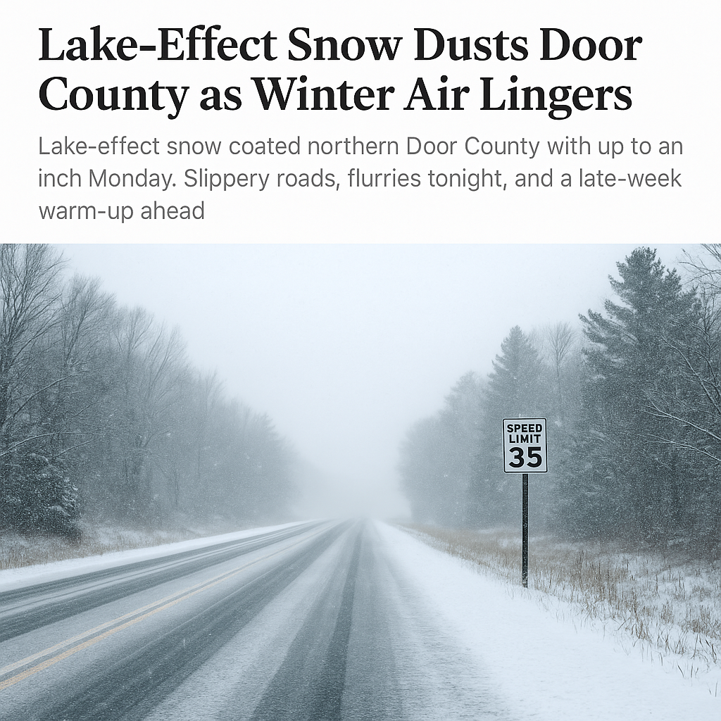
STURGEON BAY, Wis. — The first true taste of winter swept across Door County Monday afternoon as lake effect snow showers drifted south from northern Lake Michigan, briefly reducing visibility and slicking up roads along the peninsula.
Radar around 3 p.m. showed a narrow band of snow stretching from Ephraim to Jacksonport and moving south at about 15 mph. Visibility in heavier bursts dropped below a mile, and pavement temperatures near freezing made for slippery travel on untreated roads.
Meteorologists say a small “meso-low” over northern Lake Michigan helped focus the snow bands, but those showers weakened through sunset as winds shifted and drier air pushed in from the west. Up to an inch of accumulation was reported in some northern communities, including Sister Bay and Baileys Harbor.
Another round of light snow or flurries may brush the region late tonight into Tuesday morning as warmer air begins to move in, though little to no accumulation is expected.
After that, temperatures will gradually climb through the week, with highs in the upper 30s Tuesday and reaching into the 40s by midweek. A stretch of milder, above-normal weather is likely by Thursday and Friday — before gusty winds and a chance of rain arrive over the weekend.
Drivers are urged to stay alert for icy patches this evening and early Tuesday, especially on backroads and bridges where freezing temperatures linger the longest.