

Unseasonably warm air moves into Wisconsin over the next 48 hours, bringing rain, fog and patchy icy travel concerns as a January thaw takes hold.
- Unseasonably mild air dominates: Southerly winds are pulling warmer air into Wisconsin, with temperatures running 15 to 25 degrees above normal through Wednesday and into Thursday.
- Rain, fog and patchy icing possible: Most precipitation falls as rain, but brief freezing drizzle or slick spots are possible where temperatures hover near freezing, along with areas of fog reducing visibility.
- Quiet now, more active later: Wisconsin avoids major winter storms in the next 48 hours, but a more active and colder pattern may return later this week.
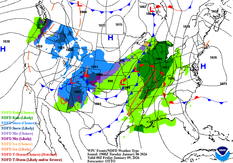
Wisconsin remains caught between winter extremes over the next two days, as a powerful national weather pattern delivers heavy snow to parts of the country while ushering unusually mild air and rain into the Upper Midwest.

A deep upper-level trough carving into the western United States is allowing warmer air to surge north and east across the Plains and Midwest. That setup places Wisconsin on the warm side of the pattern through Thursday.
A January Thaw Takes Hold
Southerly winds are drawing milder air into Wisconsin today, keeping temperatures well above normal for early January. Highs climb into the upper 30s and 40s in many communities, roughly 15 to 25 degrees warmer than average.
“Well above average warmth from the Great Plains to the Appalachians through Thursday.”
Cloud cover remains extensive, and periods of precipitation are possible. With surface temperatures hovering near freezing at times, especially north of I-94 and in interior locations, light freezing rain or drizzle cannot be ruled out early or late in the day. Even minor ice accumulation could create slick spots on untreated roads and sidewalks.
Tonight: Fog and Patchy Slick Travel Possible
As warmer air continues to override colder surface temperatures tonight, fog becomes a growing concern. Where snowpack remains, low-level moisture may condense into dense fog, reducing visibility for the Wednesday morning commute.
Overnight temperatures stay unusually mild for January, limiting refreezing in many areas but increasing the risk for patchy freezing drizzle in colder pockets.
“Warm southerly winds at the surface will help to support high temperatures that will be roughly 15 to 25 degrees above average.”
Wednesday: Mild, Cloudy and Mostly Rain
By Wednesday, Wisconsin sits firmly within the warm sector of the system. Any precipitation that develops is more likely to fall as rain rather than snow, a notable shift for early January. Temperatures remain elevated throughout the day and into Wednesday night, continuing the thaw.
The warmer pattern also means snowmelt, ponding of water in low-lying areas and renewed concerns for fog, especially during the overnight and early morning hours.
What Comes Next
While Wisconsin avoids the major winter impacts affecting other parts of the country, this pattern is not locked in long term. The energetic jet stream driving storms across the West and Northeast is expected to shift east later this week, opening the door to a colder and more active setup heading toward the weekend.
“A deepening upper-level trough across the West will allow for upper-level ridging to build downstream across the eastern U.S.”
For now, Wisconsin’s weather story is defined by contrast: winter storms elsewhere, springlike warmth locally and just enough cold air at times to keep travel hazards in play. Check back on our forecast page and map page to track the system.