
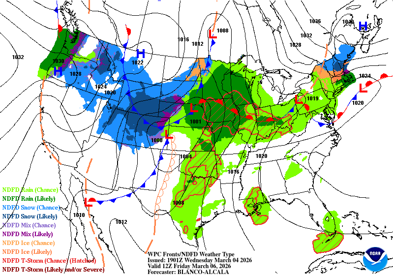
A powerful storm system could bring widespread rain, embedded thunderstorms, and over an inch of rainfall to parts of Wisconsin Friday into early Saturday. Localized flooding and stronger storms are possible.
3-Things To Know
• Widespread rain and thunderstorms are expected across Wisconsin Friday into early Saturday.
• Rainfall totals could exceed 1 inch in some areas, leading to ponding water and rising creeks.
• A few stronger thunderstorms are possible Friday evening depending on how much instability develops.
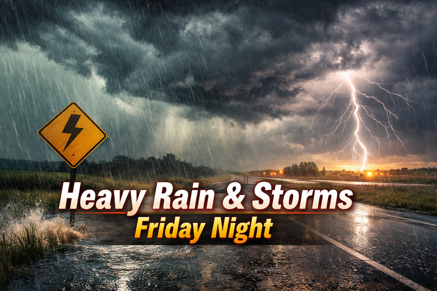
Strong Storm System Could Bring Heavy Rain and Thunderstorms to Wisconsin Friday Night
A strengthening storm system moving out of the Plains is expected to bring widespread rain and thunderstorms to Wisconsin Friday into early Saturday. Forecasters say several rounds of showers and storms could move across the state, with locally heavy rainfall and the potential for a few stronger thunderstorms Friday night.
The system will tap into unusually high moisture levels for early March. Forecast discussions from the National Weather Service indicate that moisture transport into the Upper Midwest will be particularly strong as the storm approaches.
“Impressive moisture transport will occur ahead of the approaching low pressure system on Friday aided by a 40+ kt low-level jet, with precipitable water values near the climatological max for this time of year.”
Multiple waves of rain and thunderstorms are expected to develop as warm, moist air surges northward ahead of the storm. These rounds of precipitation could continue through Friday evening before a cold front pushes through the region early Saturday.
“Multiple rounds of showers and storms will occur in association with the warm advection and frontal passage Friday into early Saturday.”
Rainfall totals could become significant in some locations. Forecast guidance suggests many areas may receive around an inch of rain, with localized totals possibly higher where thunderstorms repeatedly move over the same areas.
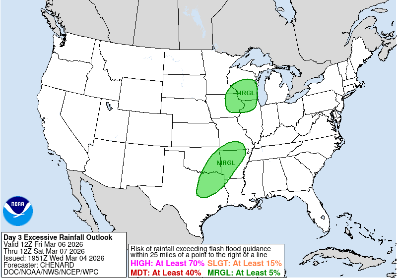
“Rain amounts over an inch are plausible with low chances for 1.5 to 2 inches across parts of central and east-central Wisconsin.”
Because frost remains in the ground across parts of the state, some of that rainfall may run off rather than soak in. This could lead to standing water in low-lying areas and minor rises on smaller creeks and streams.
“This may result in some river rises or ponding and standing water, especially with substantial frost depth still in place.”
In addition to the heavy rain potential, forecasters are monitoring the chance for a few stronger thunderstorms Friday evening. Atmospheric wind shear will be strong, but the amount of instability that develops will determine how intense storms can become.
“The best timing for any stronger storms looks to be Friday evening into Friday night.”
Even if severe weather remains limited, lightning, gusty winds, and brief heavy downpours could accompany thunderstorms as the system moves through.
Rain should gradually taper off Saturday morning as the cold front exits the state. Clouds may linger for much of the day, but drier conditions are expected to develop as the weekend continues.
Forecasters say details about storm intensity and exact rainfall totals will become clearer over the next day as the track of the low pressure system comes into better focus. Check our Forecast Page for updates in your area.