
A stormy start to April brings rain, ice, and temperature swings to Wisconsin and the Great Lakes with flooding concerns building midweek.
3 Things to Know
- A stormy, active pattern sets up across the central U.S. into the Great Lakes
- Rain, storms, and even ice or snow are all on the table this week
- Flooding concerns may build with multiple rounds of precipitation
The Big Picture: Spring Wakes Up the Storm Track
April is arriving right on cue with a classic spring transition pattern, and it is anything but quiet.
A series of upper-level disturbances will push a wavy frontal boundary across the central and eastern United States. That boundary becomes the battleground between warm Gulf air and lingering colder northern air, setting the stage for multiple rounds of precipitation from midweek into the weekend.
At the same time, a stronger trough develops out west and moves into the Plains, helping to reload moisture and energy into the system. That is what keeps things active instead of a one-and-done event.
What It Means for Wisconsin and the Great Lakes
This is where things get interesting locally.
Wisconsin sits right on the northern edge of the storm track, which is always the trickiest place to forecast this time of year.
Expect a Little Bit of Everything
- Rain at times, especially midweek into late week
- A rain-to-mix setup, including the potential for ice or wet snow
- Sharp temperature swings depending on which side of the front you are on
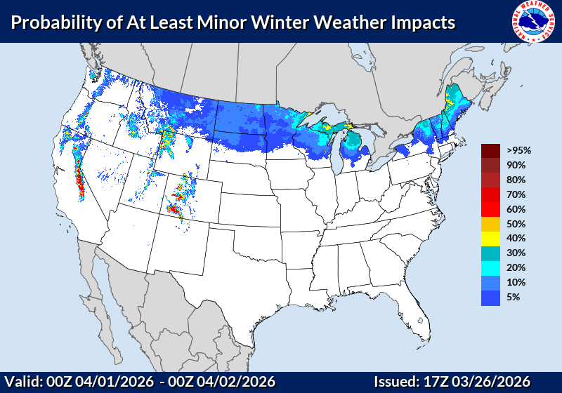
Forecast guidance suggests that chillier air wrapping in behind the system could allow wintry weather across parts of the Great Lakes, including the potential for freezing rain and even accumulating snow in spots.
Yes… in April.
The April Flooding Angle: Why This Pattern Matters
This is not just about nuisance rain.

With multiple waves of moisture riding along the same boundary, there is growing concern for:
- Repeated rounds of rain
- Localized heavier totals
- Increasing runoff into rivers and streams
The broader setup favors flooding concerns developing from the Mississippi Valley into the Great Lakes, especially if storms track repeatedly over the same areas.
For Wisconsin, that means:
- Rivers already running high could stay elevated
- Low-lying areas may see standing water issues
- Travel impacts during heavier rain periods
Temperature Whiplash Is Back
If you like consistency… this is not your week.

- Early week warmth gives way to a sharp cooldown behind the front
- Highs drop from near 60 to the 30s and 40s
- Wind and cloud cover will make it feel even colder at times
This is a true spring rollercoaster, driven by repeated cold frontal passages and shifting air masses.
Why This Pattern Matters Beyond the Forecast
This type of early April setup has ripple effects:
- Agriculture: Wet fields and temperature swings delay early planting
- Travel: Reduced visibility, slick roads during mixed precipitation
- Outdoor plans: Highly changeable conditions day to day
- Lake impacts: Breezy to windy conditions could impact marine conditions on Lake Michigan
The Bottom Line
April is not easing in quietly.
Instead, we are kicking off the month with a high-energy, multi-day storm pattern that brings:
- Rain
- Storms
- A possible wintry mix
- And a growing eye on flooding
It is a reminder that in the Great Lakes, spring is not a straight line, it is a tug-of-war.
And this week, that rope is getting pulled in every direction. For daily update check our Forecast Page.