

3 Things To Know:
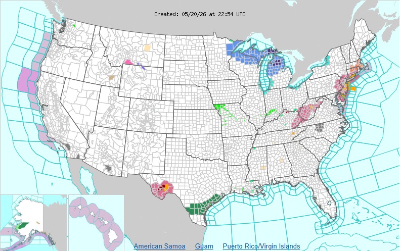
- A Frost Advisory is in effect for parts of northwest Wisconsin tonight.
- Fire weather concerns may arise due to dry and breezy conditions on Thursday and Friday.
- Temperatures will gradually rise toward the weekend, with rain expected late Friday into Saturday.
Frost Advisory
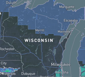
As we move into the evening and overnight hours from Wednesday into Thursday, temperatures in parts of northwest Wisconsin, particularly near Lake Superior, will drop to around 33 to 38 degrees. Due to these low temperatures, a Frost Advisory has been issued from 1 AM to 8 AM CDT Thursday. Expect areas of frost as conditions become conducive for its formation.
“Lows tonight are not expected to be as cool as last night, with the coldest temperatures expected around Lake Superior.” – NWS
Thursday and Friday: Concerns for Fire Weather
Looking ahead to Thursday, dry and breezy conditions will set the stage for near-critical fire weather. Winds are expected to gust up to 20 mph while relative humidity drops to 25 to 35 percent. These conditions could elevate fire weather risks, particularly from the northern border south through the Brainerd Lakes.
Similar weather patterns will continue into Friday. Areas away from Lake Superior could see temperatures rise into the 60s, but the lake breeze will leave those near the shore in the 50s. As moisture begins to return later on Friday, fire weather risks should diminish.
Weekend Outlook: Rain and Warmer Temperatures
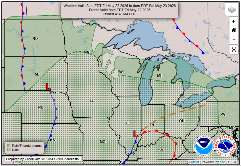
The weekend will feature a longwave trough passing through the middle of the country, bringing rain showers from Friday night into Saturday night. While the chance of thunderstorms exists, significant severe weather is not expected. Highs on Saturday will cool slightly into the 50s and lower 60s, but temperatures will warm noticeably on Sunday as an upper ridge begins to build in, reaching into the 60s and 70s.
For updated forecasts where you live check out our Forecasts Page.
Source: NWS DLH Area Forecast Discussion, issued 2026-05-20T20:22:00+00:00.
