
3 Things To Know:
- High swim risk this afternoon and evening at Twin Ports beaches.
- Elevated fire weather danger for areas north of the Iron Range.
- Expect rain and potential severe storms starting Sunday night through Wednesday.
Today’s Conditions
As we move into the afternoon, expect warmer temperatures climbing into the mid and upper 80s, along with breezy conditions. However, elevated fire weather danger will be a concern especially for areas north of the Iron Range in far northern Minnesota due to drier conditions and increased winds.
Beach Hazards Statement
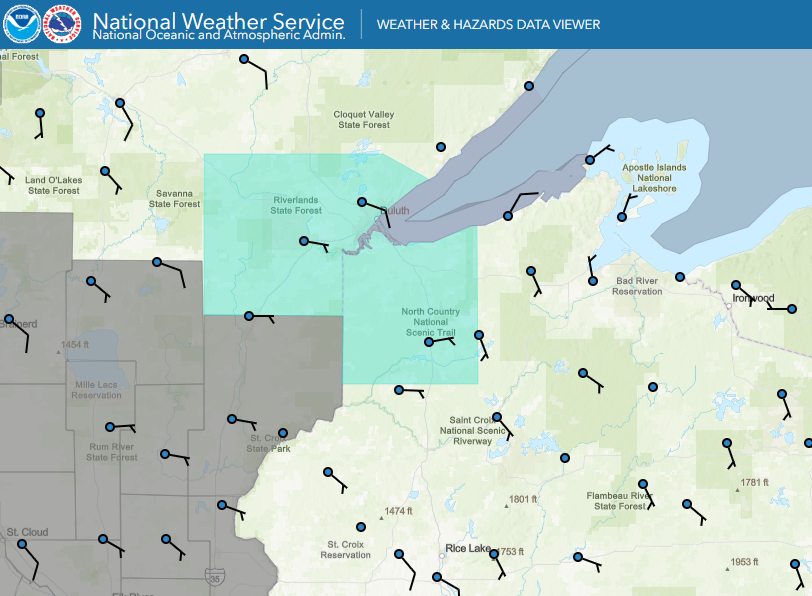
A Beach Hazards Statement has been issued for Twin Ports beaches today. Strong northeast winds will generate building waves up to 3-4 feet, creating a high risk of rip currents.
“Hazardous conditions are expected at the head of the lake due to increased wave action and brisk winds.” – NWS
Make sure to exercise caution if you plan on swimming or spending time near the water.
Looking Ahead: Rain and Storms
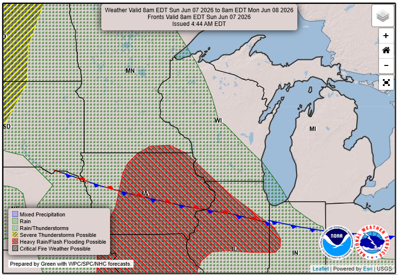
Rain chances are expected to increase starting tonight and into Monday as a warm front moves through the region. While some storms are possible, confidence in severe storms remains low at this time.
Conditions will shift dramatically by Tuesday and Wednesday, as a warm and humid air mass settles over the area. High temperatures will likely reach the 90s, and heat indices could climb into the triple digits.
The Storm Prediction Center has indicated a slight risk for severe thunderstorms on Wednesday, so it’s important to stay tuned as we monitor the situation.
Final Thoughts
Be prepared for changing weather over the next few days. Stay informed about the latest updates, especially if you’re in areas with heightened swim risks or possible severe weather.
For updated forecasts where you live check out our Forecasts Page.
Source: NWS DLH Area Forecast Discussion, issued 2026-06-07T11:24:00+00:00.