

3 Things To Know:
- Temperatures will soar into the 70s and 80s, nearing record highs.
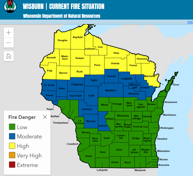
- Be cautious of near-critical fire weather conditions due to gusty winds and dry air.
- Cooler temperatures and rain chances return starting late Sunday into Monday.
Forecast for Today
The weather in Northwest Wisconsin is feeling a lot like summer this weekend. With an expansive upper-level ridge to our east, expect high temperatures today to reach the 70s and 80s. This warm air will be accompanied by breezy southwest winds, with gusts between 25-35 mph.
“Conditions approach thresholds for Red Flag Warnings in the I-35 corridor and portions of NW WI.” This means fire weather concerns are heightened due to the combination of gusty winds, high temperatures, and very low humidity, which could dip into the 30s.
The forecast shows some weak returns on radar this afternoon, but rain chances remain low, below 10%. In fact, most of the dry air in the lower levels could evaporate any precipitation before it hits the ground.

Looking Ahead to Sunday
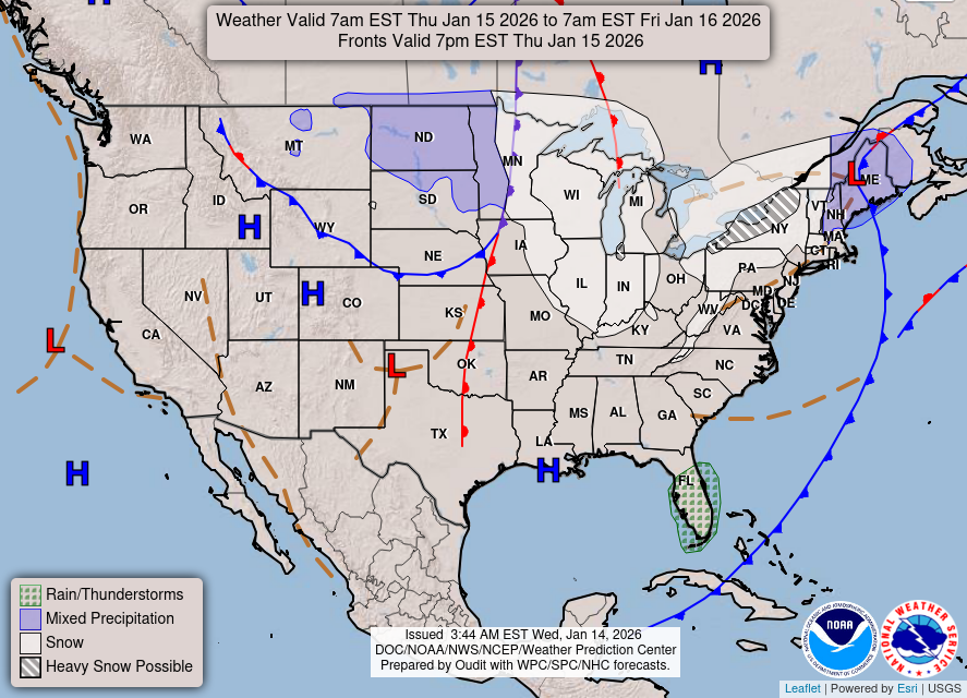
A cold front is expected to move through the region slowly from northwest to southeast on Sunday. While this will bring cooler temperatures to far northern Minnesota, Northwest Wisconsin will still enjoy warm conditions in the 70s, at least until the frontal passage begins.
As the front moves in, rain chances will start to increase. However, similar to today, the presence of dry air may delay precipitation reaching the ground. The main rain likely arrives by Monday as a secondary upper-level trough approaches, bringing light rain totals between 0.05 to 0.15 inches.
Week Ahead
Expect a shift towards more seasonal temperatures after the cold front passes, with highs settling back into the 50s and 60s starting Monday. High pressure will dominate the region early next week, leading to quieter weather conditions.
As we look further into next week, forecast models show uncertainty regarding upcoming weather patterns. Current guidance suggests a mix of active weather cycles, but specifics are still to be determined.
For updated forecasts where you live check out our Forecasts Page.
Source: NWS DLH Area Forecast Discussion, issued 2026-10-10T11:52:00+00:00.
