

3 Things To Know:
- Fog is possible tonight and Thursday night.
- Above normal temperatures will last through the weekend.
- Rain returns early next week.
Today’s Weather Outlook
This afternoon in southeast Wisconsin, expect more warm, sunny skies with temperatures climbing into the low to mid-70s. A high-pressure system positioned near North Dakota and Manitoba is supporting light southerly breezes which are contributing to the pleasant weather. The below map from the Weather Prediction Center (WPC) illustrates today’s forecast:

As we transition into tonight, conditions may become ripe for fog development as high pressure moves in, resulting in light and variable winds. The extent of this fog will depend on local wind speeds, with potential visibility issues likely. If you’re driving tonight, take precautions by slowing down, using low beam headlights, and allowing for extra distance from other vehicles.
Tomorrow’s Forecast
On Thursday evening, we could see additional fog as the east-northeast winds draw in moist air from Lake Michigan. Like tonight, the density of this fog is uncertain. We will continue to monitor conditions to assess any potential impact on visibility.
The weather remains dry, sunny, and warm through the weekend, with high temperatures continuing to trend above normal.
Looking ahead, next week brings a return to more seasonable temperatures. Rain chances start to appear Monday night into Tuesday and again Wednesday night.
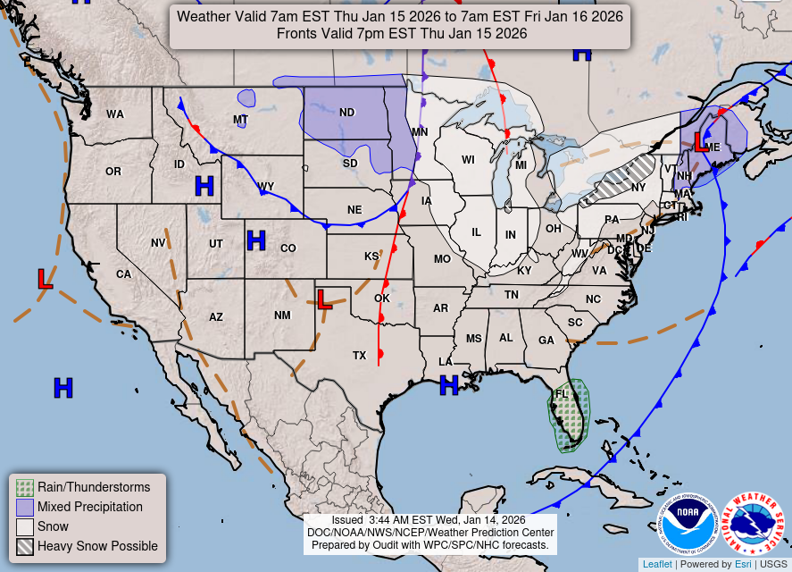
The WPC Day 2 forecast map shows these trends:
In summary, while fog may impact travel over the next couple of nights, warm and dry conditions will prevail until the start of next week when rain returns.
As always, for updated forecasts where you live check out our Forecasts Page.
Source: NWS MKX Area Forecast Discussion, issued 2026-10-21T18:37:00+00:00.
