

3 Things To Know:
- Low frost potential overnight across western Wisconsin.
- Expect periodic showers and storms from Thursday night through Sunday morning.
- Temperatures are likely to rise significantly from Memorial Day through Wednesday.
Frost Not Likely Tonight
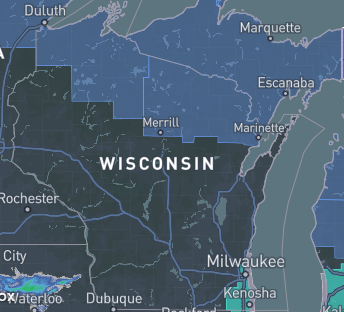
Tonight, a northern stream shortwave will pass through the Upper Mississippi River Valley, bringing with it a mixture of mid- and high-level clouds. However, with the presence of dry air in the lower atmosphere and light winds, we are not anticipating any precipitation or significant frost.
Low temperatures along and north of Interstate 94 will be in the mid- to upper 30s, while other areas may see lows in the lower to mid-40s. According to the National Weather Service, “frost potential continues to look low for tonight.” Therefore, no Frost Advisory will be issued.
“frost potential continues to look low for tonight.” – NWS
Showers and Storms This Weekend
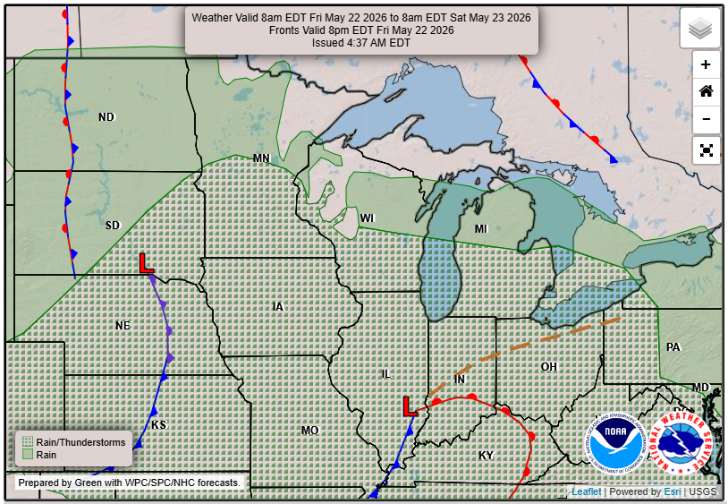
From Friday night into Sunday morning, we will see two northern stream shortwave troughs moving through the region. These systems will bring periodic showers and potential thunderstorms. Nonetheless, the instability ahead of these systems isn’t particularly strong, so organized severe weather is not expected.
The first wave arriving Friday could bring around 250 J/kg of instability, while the second wave on Saturday night may reach up to 750 J/kg. The limited wind shear, only up to 20 knots, further supports the low risk of severe weather during this period.
Warming Trend Ahead
Looking ahead to Memorial Day through Wednesday, a significant warm-up is expected as a 500 mb ridge builds across the area. This could result in temperatures reaching the mid- to upper 80s, which would be above normal for this time of year. However, there is a possibility of cooler temperatures and rain if the southern trough shifts northward.
Stay tuned for updates as we continue to monitor these developments. For updated forecasts where you live, check out our Forecasts Page.
Source: NWS ARX Area Forecast Discussion, issued 2026-05-20T17:41:00+00:00.
