
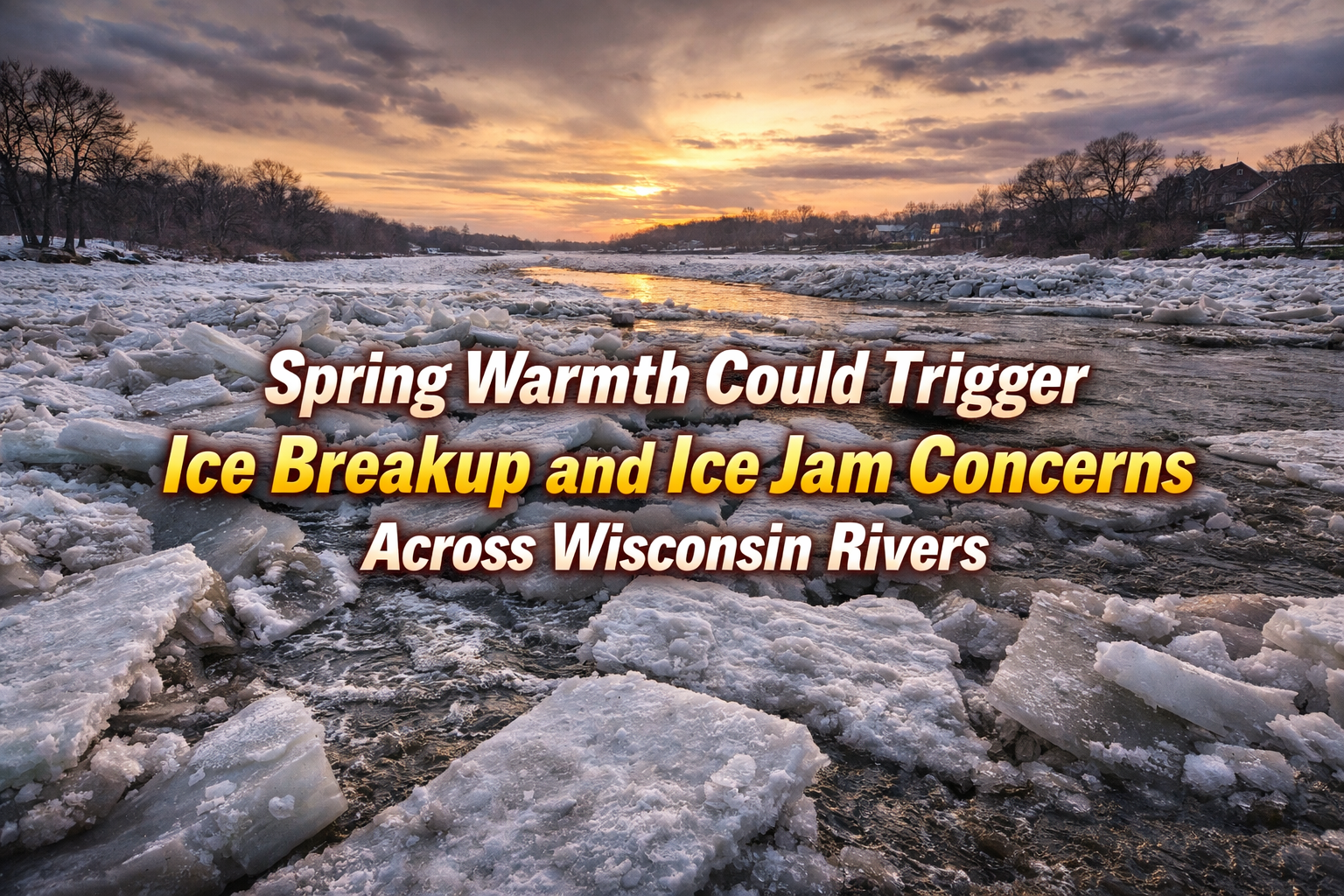
Warmer temperatures and rainfall could trigger river ice breakup across Wisconsin, raising the risk of ice jams and shifting ice floes later this week.
3 Things to Know
• Warmer temperatures this week may cause river ice across Wisconsin to begin breaking up.
• Ice jams could develop on some rivers, leading to localized flooding concerns.
• Ice floes may also move into Green Bay depending on wind and storm strength.
Spring Warmth Could Trigger Ice Breakup and Ice Jam Concerns Across Wisconsin Rivers
While rain and thunderstorms will be the main weather story late this week, another concern is developing across parts of Wisconsin as temperatures climb well above normal.
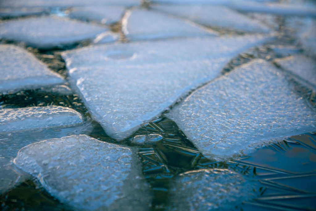
The warming trend combined with rainfall could begin breaking up ice that still remains on some rivers and waterways across the state. Forecasters say this process can sometimes lead to ice jams, which occur when large chunks of ice pile up and temporarily block the flow of water.
“Warmer weather may lead to ice break-up on rivers, leading to ice jam flooding.”
Ice jam flooding is often very localized but can develop quickly if large pieces of ice move downstream and become lodged in narrow sections of a river. Water can then back up behind the jam and spill over nearby banks.
In addition to river concerns, shifting ice on Green Bay is also something forecasters are monitoring.
“Ice floes could also be a concern, especially late in the week.”
Strong winds associated with the approaching storm system Friday into Friday night could help push broken ice across portions of the bay. This can occasionally lead to ice piling along shorelines if winds align in the right direction.
The overall ice jam threat currently appears limited in many areas because water levels are relatively low. However, forecasters say the risk will gradually increase as warmer temperatures continue and rainfall moves through the region.
“The ice jam threat should gradually increase through the week as warmer temperatures promote some ice break-up.”
Much will depend on how much rain ultimately falls Friday into Saturday and how quickly temperatures rise across northern Wisconsin where thicker ice still remains. Follow our Forecast Page for updates near you.
Residents near rivers and waterways should keep an eye on local conditions over the next several days as the late winter ice cover begins to weaken and shift.