

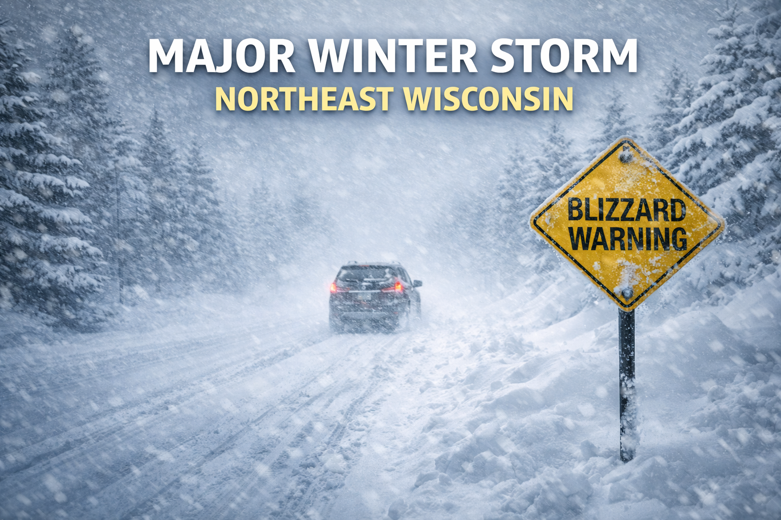
Major Winter Storm Expected Across Northeast Wisconsin This Weekend
3 Things To Know:
- Major winter storm arrives late Saturday and continues through Monday, bringing widespread snow and significant travel impacts across northeast Wisconsin.
- Heavy snow bands could produce more than 12 inches, with parts of northern Wisconsin possibly seeing totals approaching or exceeding 18 inches.
- Strong winds gusting 40 to 45 mph Sunday into Monday may cause blowing snow, whiteout conditions, isolated power outages, and dangerous travel.
A powerful late-season winter storm is expected to sweep across northeast Wisconsin from Saturday night through Monday, bringing heavy snow, strong winds, and the potential for dangerous travel conditions across the region.
Confidence is high that the storm will produce widespread impacts, with the possibility of blizzard or near-blizzard conditions late Sunday into Monday as winds intensify and snow continues to fall.
A Long-Duration Storm Takes Shape
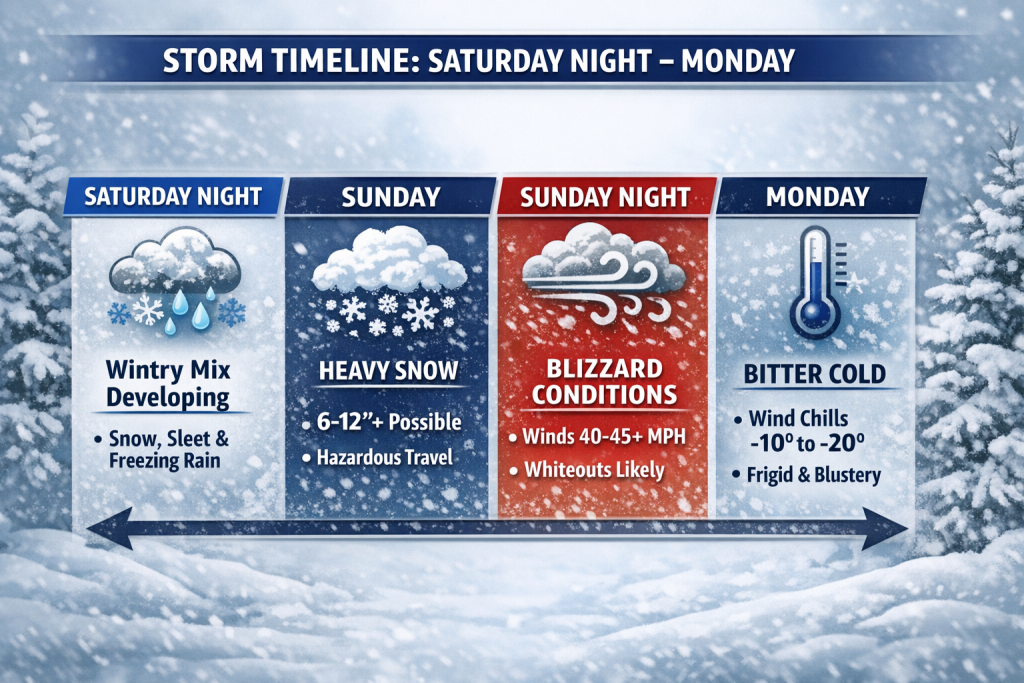
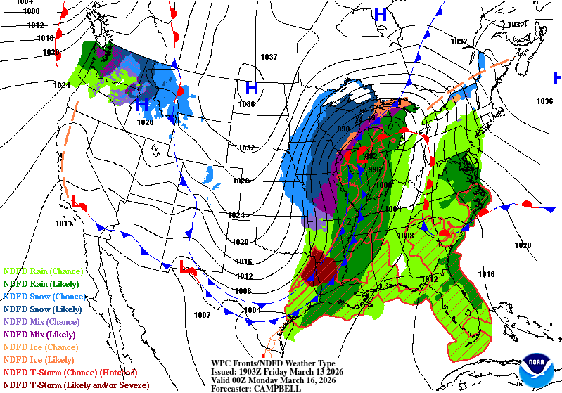
The storm will begin developing late Saturday as warm air moving northward spreads precipitation into Wisconsin. This initial phase could include a mix of snow, sleet, or freezing rain in parts of central and east-central Wisconsin, including the Fox Valley.
As the storm strengthens and colder air wraps back into the system, precipitation will transition back to all snow Sunday night into Monday.
This will not be a quick-moving system. Instead, it will likely last for nearly two days, allowing snowfall totals to accumulate significantly across the region.
Heavy Snow Possible, Especially North
Current projections suggest the heaviest snowfall will likely fall across northern Wisconsin, where some areas could see more than a foot of snow.
Forecast probabilities indicate:
- 60 to 90 percent chance of more than 12 inches of snow
- 60 to 80 percent chance of more than 18 inches in northern Wisconsin
- Snowfall rates may reach 1 to 3 inches per hour during the most intense periods
However, forecasters caution that the exact placement of the heaviest snow will depend on the track of the storm system. Even small shifts north or south could change where the highest totals occur.
Winds Could Create Blizzard Conditions
Another major concern with this storm will be the wind.
As the storm strengthens Sunday, winds will increase across the region with gusts of 40 to 45 mph possible Sunday afternoon through Monday.
When combined with falling and blowing snow, these winds could create whiteout conditions and periods of near-blizzard or even blizzard conditions.
Strong winds may also bring additional impacts, including:
- Downed tree limbs from heavy, wet snow
- Isolated power outages
- Reduced visibility and dangerous travel
Winter Storm Warning Issued
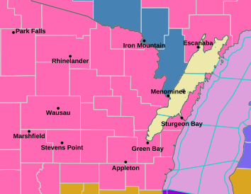
Due to the high confidence in widespread impacts, the National Weather Service has issued a Winter Storm Warning across much of northeast Wisconsin, beginning Saturday night and continuing through Monday afternoon.
Officials say additional upgrades, including possible Blizzard Warnings, may be issued as the storm evolves.
Bitter Cold Follows the Winter Storm
After the storm pulls away Monday, much colder air will move into the region.
Overnight lows Monday night could fall into the single digits, and when combined with lingering winds, wind chills may drop to 10 to 20 degrees below zero early Tuesday morning.
Temperatures are expected to gradually moderate later in the week, though fresh snow cover could slow that warming trend.
What Residents Should Do Now
With a long-duration winter storm on the way, residents across northeast Wisconsin should prepare for the possibility of difficult travel and power interruptions.
Key preparation steps include:
- Avoid unnecessary travel during the storm if possible
- Charge devices and prepare emergency supplies
- Monitor forecast updates through the weekend
Forecasters emphasize that details such as snow totals and precipitation type will continue to be refined as the storm approaches, but the overall message is clear: a major winter storm is likely to impact the region.
