
What rapid snowmelt and river ice changes could mean for spring flood risk.
- Early thaw patterns can influence spring flood risk, especially if heavy rain returns.
- Temperatures across the central and northern Plains into the Mississippi Valley are running 20–35 degrees above normal.
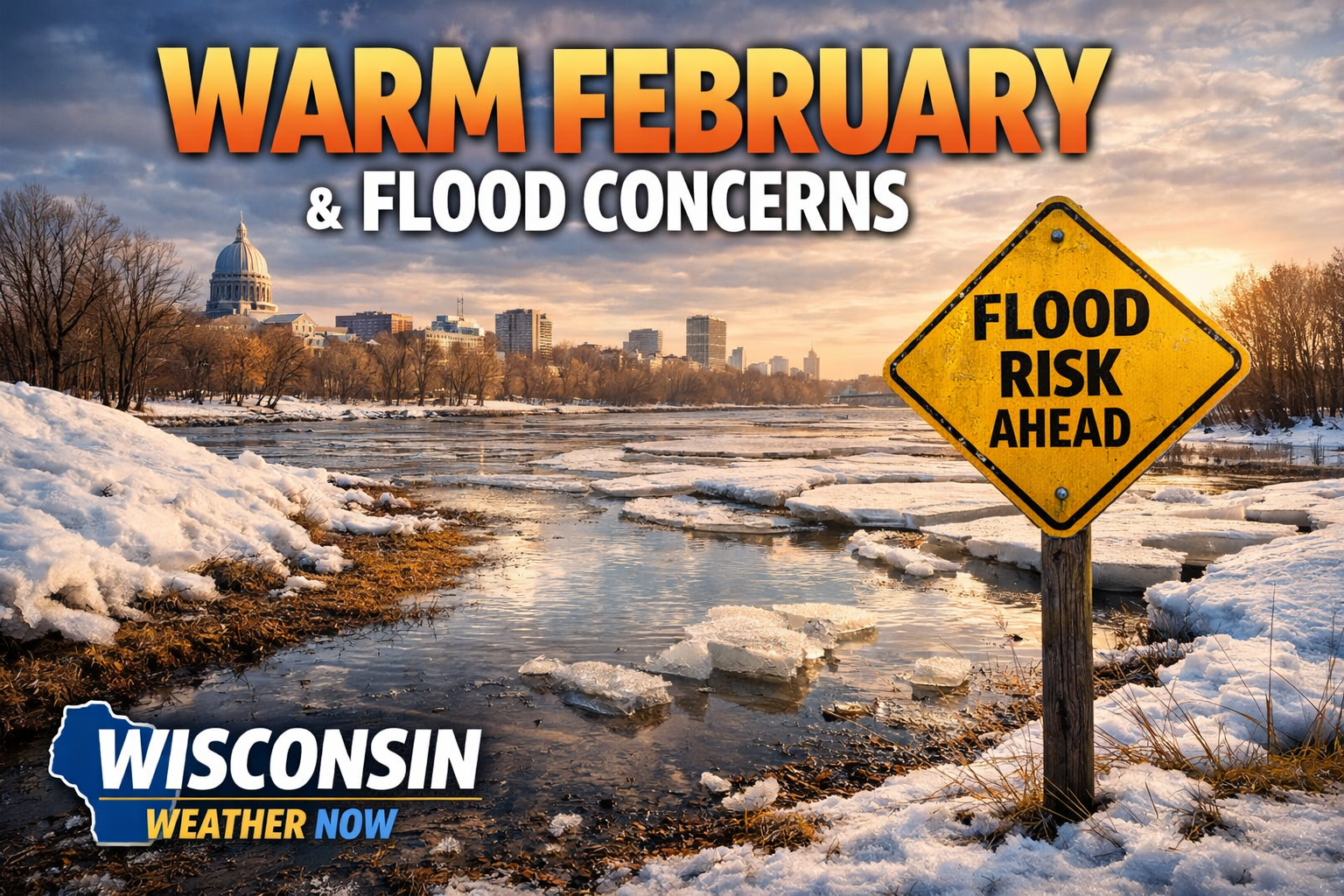
- Wisconsin’s snowpack and river ice are already feeling the impact.
Wisconsin is in the middle of a February temperature surge that feels more like late March.
The latest short-range forecast discussion from the National Weather Service’s Weather Prediction Center notes:
“Much of central/northern Plains into the parts of the Mississippi Valley will still see 20–35 degrees above normal temperatures over the next few days.”
That includes Wisconsin.
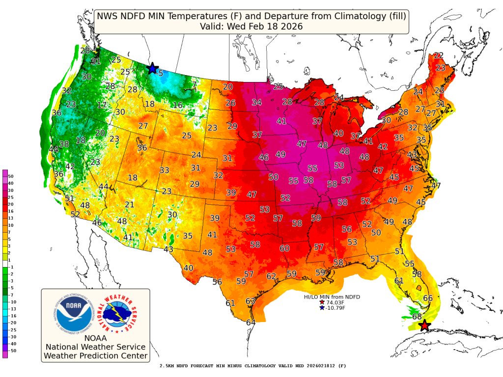
For perspective, average mid-February highs across southern Wisconsin typically sit in the low to mid-30s. Add 20 to 35 degrees to that baseline and you’re suddenly flirting with the 50s — a dramatic departure from climatology.
What That Means On the Ground
When temperatures spike this far above normal in February, several things happen quickly:
- Snowpack begins to compact and melt.
- River ice weakens and can shift.
- Soil frost starts to erode.
- Runoff increases, especially during overnight melts.
While the most active rain and severe weather are currently focused in the Southeast — where the WPC warns of “moderate to heavy rain bands” — Wisconsin is watching a different piece of the puzzle: what happens when warmth and future rain overlap.
The Spring Flood Setup Question
Warm anomalies alone do not cause flooding. But rapid snowmelt combined with rainfall can.
Right now, the broader national pattern favors warmth across much of the central U.S. The discussion highlights:
“Above normal temperature continue for Sunday across much of CONUS…”
And while a high-pressure system is expected to bring quieter weather for parts of the country early this week, the bigger concern locally is pattern evolution.
If:
- Snowpack melts rapidly,
- River ice breaks unevenly, and
- A stronger storm system arrives with widespread rain,
Then the flood conversation ramps up quickly.
Even localized runoff from frozen or partially thawed ground can push smaller rivers and creeks higher than expected.
Ice Jams and River Response
One of the more subtle risks during mid-winter warm spells is ice jam flooding.
As river ice weakens and begins to move, it can pile up downstream, temporarily blocking flow. Water levels can rise rapidly behind these jams, even without significant rainfall.
That’s something to monitor along portions of the Wisconsin River basin and Mississippi River tributaries if warmth persists.
The Big Picture
This isn’t unprecedented. Wisconsin has seen February thaws before.
But a 20–35 degree positive anomaly over several days is significant, especially when layered into late-winter hydrology.
The short-term pattern favors continued warmth before more seasonal air gradually shifts east later this week. The key for Wisconsin will be timing:
- How fast does the snowpack erode?
- Does river ice move gradually or suddenly?
- When does the next meaningful rain system arrive?
February warmth can feel welcome.
But in Wisconsin, it’s never just about temperature, it’s about what that temperature does to snow, ice and rivers.