


3 Things To Know:
- Severe storms with damaging winds and hail are possible Thursday afternoon and evening.
- The weekend will bring slightly above normal temperatures along with additional shower and thunderstorm chances.
- Stay tuned for updates as we monitor weather developments early next week.
Northwest Wisconsin is preparing for a shift in weather this week, with a significant chance of severe storms moving into the area. Based on the latest National Weather Service Forecast Discussion, the first mention of storms arrives Thursday afternoon, potentially affecting areas from the Brainerd Lakes down through the I-35 corridor and all the way to Washburn County.

Timing of Severe Weather
The storm activity is expected to ramp up late Thursday afternoon and into the evening. An incoming warm front combined with upper-level disturbances is critical for storm development in our region. As the atmosphere becomes unstable, the conditions may be ripe for severe storms capable of producing damaging winds and large hail, with a minor possibility of tornadoes within the strongest systems. To track storms live check out the Wisconsin Weather Now LIVE STREAM!

It’s important to note that the confidence in storm development location is moderate; however, given the current conditions, it’s prudent for residents to stay alert as the day progresses. As the evening wears on, a loss of instability should lead to a decrease in severe threat, but lingering rain could still affect parts of the Arrowhead and Northwest Wisconsin overnight.
Weekend Weather and Beyond
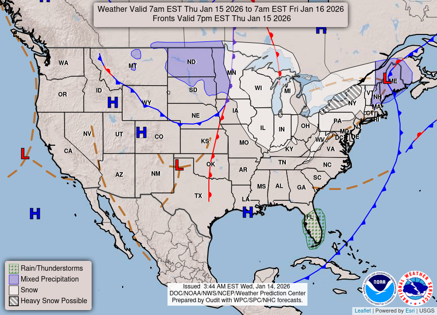
Heading into the weekend, we can expect a continuation of slightly above-normal temperatures, with additional showers and thunderstorms on the horizon, particularly from Saturday evening through Sunday night. The exact timing and intensity of these storms are still being assessed, but residents should pay attention to updates as the weekend approaches.
Next Week Outlook
As we look into early next week, models suggest a potential for another surface low to push southeast from the Northern Rockies, which may bring another round of rainfall and thunderstorms to the area. This could impact the region further, so stay informed about any changes.
In conclusion, be prepared for changing weather conditions ahead. Make sure to have a plan in place should severe weather develop, and stay tuned for updates.
“A couple different rounds of potentially severe storms could move through along this front from mid Thursday afternoon through late evening.” This highlights the importance of staying weather-aware in the coming days.
For updated forecasts where you live check out our Forecasts Page.
Source: NWS DLH Area Forecast Discussion, issued 2026-09-02T19:23:00+00:00.
